
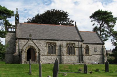
Church of St Anne, kerkgebouw in Verenigd Koninkrijk
Locatie: Over Haddon
Ontstaan: 26 juli 1880
GPS-coördinaten: 53.19404,-1.69678
Laatste update: 14 maart 2025 om 10:26
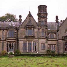
Burton Closes
2.1 km
All Saints’ Church, Youlgreave
2.2 km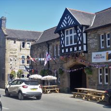
Bulls Head
2.2 km
Conksbury Bridge
1.1 km
Western gatepiers and gates to All Saints Churchyard
2.2 km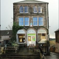
YHA Hostel
2.2 km
Coal Pit Bridge Over The River Lathkill
1.6 km
Meadow Place Grange Farmhouse
604 m
All Saints School and School House
2.2 km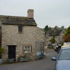
Thimble Hall
2.2 km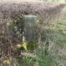
Guide pillar at NGR SK 20315 68254
1.9 km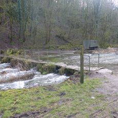
Footbridge 20 metres south of Lathkill Lodge, over River Lathkill
258 m
Conduit Head
2.2 km
Raper Lodge
1.7 km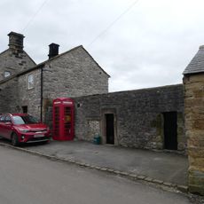
K6 Telephone Kiosk
70 m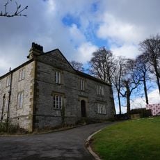
Green Cowden Farmhouse
1.7 km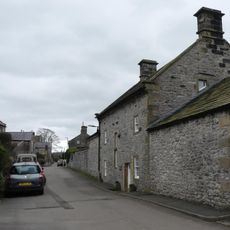
Mona View Farmhouse and attached outbuildings
77 m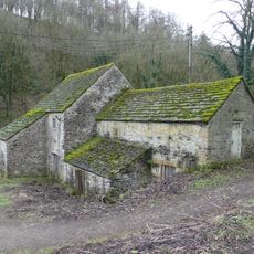
Sough Mill and adjacent sluice gate
239 m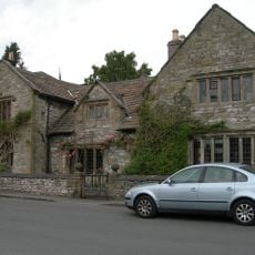
Old Hall
2.2 km
Turret House and attached railings
2.2 km
Sundial 10 metres south west of All Saints Church porch
2.2 km
Auburn House and attached railings
2.2 km
Manor House Farmhouse
167 m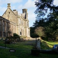
Terrace, retaining walls, steps and gates to south and east of Burton Closes
2.1 km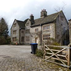
Old Hall Farmhouse
2.2 km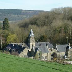
Burton Closes Mews
1.9 km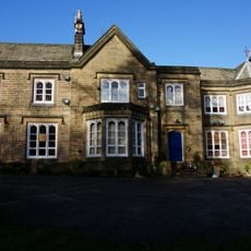
Haddon House with attached wall and archway
2.2 km
Meadow Place bowl barrow
1.2 kmHeeft u deze plek bezocht? Tik op de sterren om een beoordeling te geven en uw ervaring of foto's te delen met de community! Probeer het nu! U kunt het op elk moment annuleren.
Ontdek verborgen schatten op elk avontuur!
Van karakteristieke kleine cafeetjes tot geheime uitzichtpunten – ontvlucht de drukte en vind plekken die echt bij jou passen. Onze app maakt het makkelijk: spraakzoekopdrachten, slimme filters, geoptimaliseerde routes en authentieke tips van reizigers wereldwijd. Download nu en beleef het avontuur op je smartphone!

Een nieuwe benadering van toeristische ontdekking❞
— Le Figaro
Alle plekken die de moeite waard zijn om te ontdekken❞
— France Info
Een uitstapje op maat in slechts een paar klikken❞
— 20 Minutes