
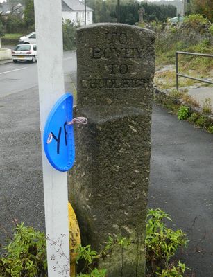
Direction Post At Junction Of The Roads To Bovey Tracey And Ashburton, About 40M North-East Of St Paul's Church
Direction Post At Junction Of The Roads To Bovey Tracey And Ashburton, About 40M North-East Of St Paul's Church, building in Hennock, Teignbridge, Devon, UK
Locatie: Hennock
Ontstaan: 19e eeuw
GPS-coördinaten: 50.58508,-3.63177
Laatste update: 19 maart 2025 om 00:06
Stover Country Park
2.4 km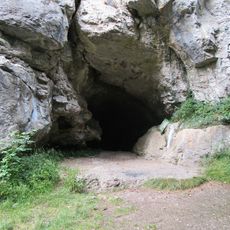
Cow Cave
2.3 km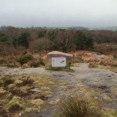
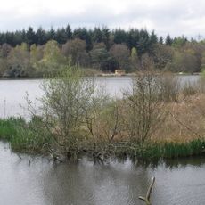
Bovey Heath
2.7 km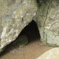
Pixie's Hole
2.3 km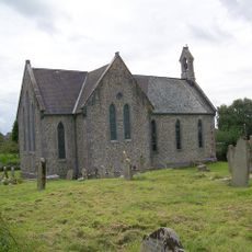
Church of St Paul
45 m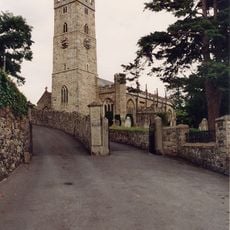
Church of St Peter and St Paul and St Thomas of Canterbury
2.8 km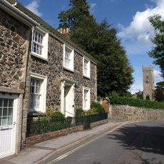
Church Hill House
2.9 km
Milestone 13m NW of Fern Cottage
2.5 km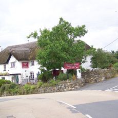
Clay Cutters Arms
106 m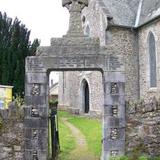
War Memorial Gateway to the North East of the Church of St. Paul
27 m
Chudleigh Bridge
1.6 km
Forsterville Lodge
2.3 km
Forsterville Cottages
2.2 km
The Granite Lodge Adjacent A38 Approx 1550 Metres North-north-west Of Stover House
2.1 km
Old Fairfield
2.8 km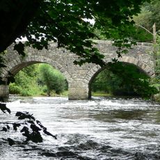
New Bridge
1 km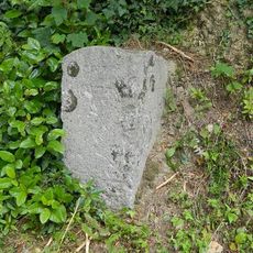
Direction Post About 5 Metres From Junction With Bradley Road
2.5 km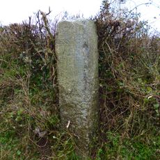
Direction Post At North-East Corner Of Huish Crossroads
2.5 km
Granite Trough And Recess In South Wall Of Church Style Garden About 27 Metres South Of Trough Lane
2.8 km
Milestone About 1,865 Metres South East Of Junction With Ashburton Road
2.6 km
Milestone At Sx 852 764
1.2 km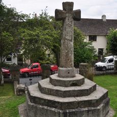
Churchyard Cross About 30 Metres South-West Of Porch Of Church Of St Thomas
2.8 km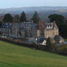
Devon House Flats
2.6 km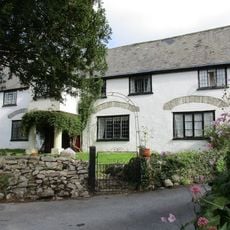
The Old House
2.9 km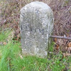
Milestone, Stokelake, 30m from road bridge of River Teign at jct with B3193
1.6 km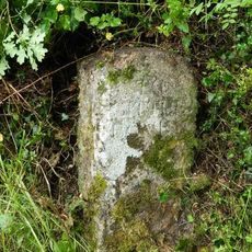
Guidestone, turn to Lower Bradley Nature Reserve, E of Bradleyford Corner
1.7 km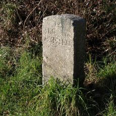
Milestone, the hill half mile N of roundabout in parking bay on Exeter-bound carriageway
2.9 km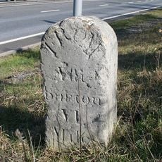
Milestone, Drumbridges roundabout, 50m down from exit slipway
2.5 kmBeoordelingen
Heeft u deze plek bezocht? Tik op de sterren om een beoordeling te geven en uw ervaring of foto's te delen met de community! Probeer het nu! U kunt het op elk moment annuleren.
Ontdek verborgen schatten op elk avontuur!
Van karakteristieke kleine cafeetjes tot geheime uitzichtpunten – ontvlucht de drukte en vind plekken die echt bij jou passen. Onze app maakt het makkelijk: spraakzoekopdrachten, slimme filters, geoptimaliseerde routes en authentieke tips van reizigers wereldwijd. Download nu en beleef het avontuur op je smartphone!

Een nieuwe benadering van toeristische ontdekking❞
— Le Figaro
Alle plekken die de moeite waard zijn om te ontdekken❞
— France Info
Een uitstapje op maat in slechts een paar klikken❞
— 20 Minutes