
Stableblock circa 50 metres north of Manor Farm, Grade II listed building in North Cerney, Cotswold, Gloucestershire, UK

Church of St Margaret
1.6 km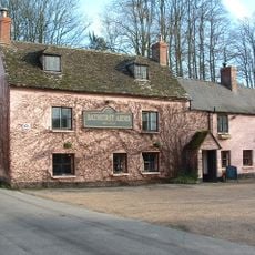
Bathurst Arms
97 m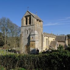
Church of All Saints
255 m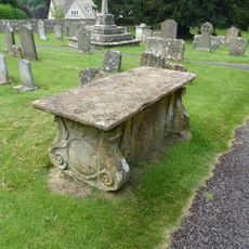
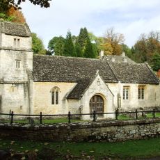
Unidentified monument in the church yard of the Church of St Peter circa 5 and 1/2 metres south of the south aisle
1.8 km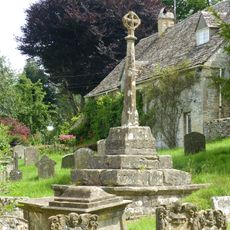
Cross and cross shaft base in the churchyard of the Church of All Saints, circa 9 metres south of the south porch
267 m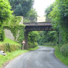
Bridge Over Road To Rendcomb College
1.7 km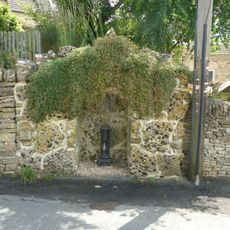
Water pump and water pump recess opposite Elmlea
109 m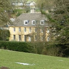
The Old Rectory
331 m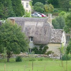
Thatch Cottage
1.6 km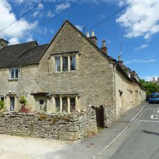
Elmlea
118 m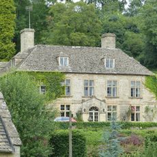
Bagendon Manor or Manor Farm
1.5 km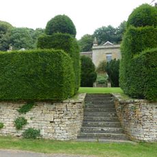
Moor Wood
1.8 km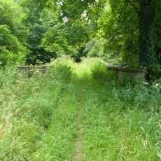
Bridge At The Southern End Of The Former Lake In The Grounds Of Rendcomb College
991 m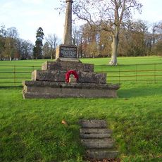
Bagendon War Memorial
1.6 km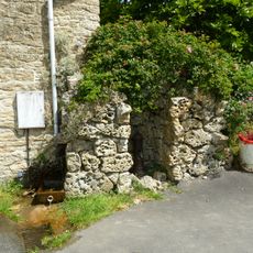
Pump and pump recess circa 10 metres south east of Granny Mabbett's Corner
221 m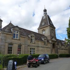
Stables, Rendcomb College
1.7 km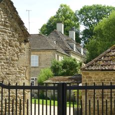
Manor Farm
60 m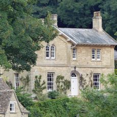
The Old Rectory with service cottage and link wall
1.6 km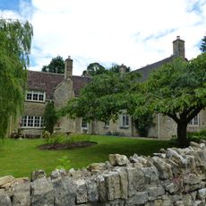
The Old School House
1.6 km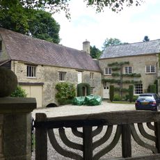
Mill House
1.6 km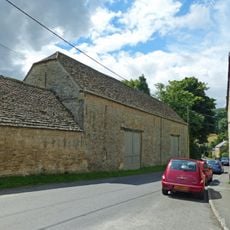
Double barn circa 50 metres north of Manor Farm
45 m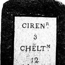
Milestone
1.2 km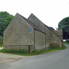
Barn circa 70 metres north west of Old Park House
1.8 km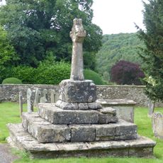
Churchyard cross in St Peter's churchyard
1.8 km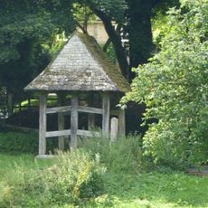
Lychgate on the northern boundary of the churchyard of the Church of All Saints
217 m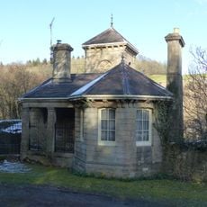
South Lodge and gateway forming the southern entrance to Rendcomb College
881 m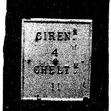
Milestone, N of N Cerney
375 m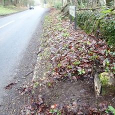
Milestone, Rendcomb turn
1.8 kmBeoordelingen
Heeft u deze plek bezocht? Tik op de sterren om een beoordeling te geven en uw ervaring of foto's te delen met de community! Probeer het nu! U kunt het op elk moment annuleren.
Ontdek verborgen schatten op elk avontuur!
Van karakteristieke kleine cafeetjes tot geheime uitzichtpunten – ontvlucht de drukte en vind plekken die echt bij jou passen. Onze app maakt het makkelijk: spraakzoekopdrachten, slimme filters, geoptimaliseerde routes en authentieke tips van reizigers wereldwijd. Download nu en beleef het avontuur op je smartphone!

Een nieuwe benadering van toeristische ontdekking❞
— Le Figaro
Alle plekken die de moeite waard zijn om te ontdekken❞
— France Info
Een uitstapje op maat in slechts een paar klikken❞
— 20 Minutes