
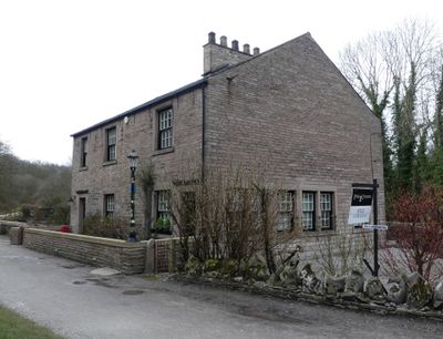
Buxworth Canal Basin. Wharfinger's House and office, Grade II listed house in the parish of Chinley, Buxworth and Brownside, High Peak, Derbyshire, UK
Locatie: Chinley, Buxworth and Brownside
GPS-coördinaten: 53.33591,-1.97372
Laatste update: 1 april 2025 om 06:45

Bugsworth Basin
369 m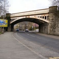
Railway Bridge
1.2 km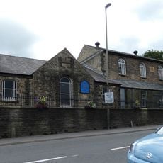
Methodist Church And Sunday School
1.1 km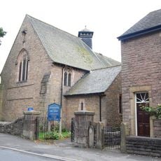
Holy Trinity Church
1.5 km
Church of St James
311 m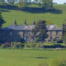
Ollerenshaw Hall
1.5 km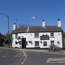
White Hart Public House
1 km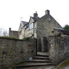
Bugsworth Hall
260 m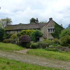
Hockerley Hall Farmhouse
1.1 km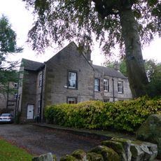
Yeardsley Hall
1.5 km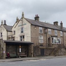
Jodrell Arms Hotel
938 m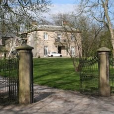
White Hall gates, gate piers and railings
1.9 km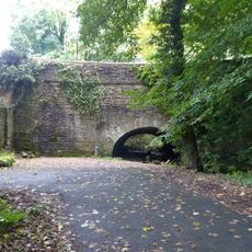
Peak Forest Canal Aqueduct Bridge On Peak Forest Canal Near Station Road
1.8 km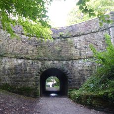
Peak Forest Canal Horse Tunnel, Buxworth Arm
482 m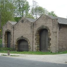
Canal Warehouse at end of Peak Forest Canal
823 m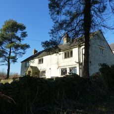
Laneside Farmhouse
1.2 km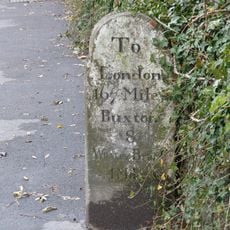
Milestone near Crescent Drive
1.1 km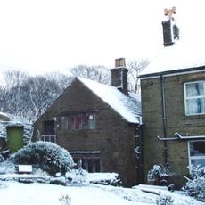
Cotebank
1.2 km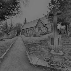
Buxworth War Memorial
333 m
Buxworth Canal Basin. Stables to east of Wharfinger's House
24 m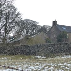
Barn to south of old farmhouse
1.4 km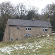
Peathill Farmhouse and barn
1.3 km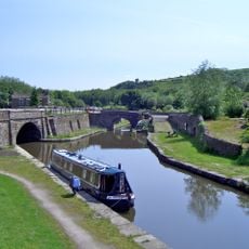
Bugsworth canal basin, tramway, quarry and limekilns
401 m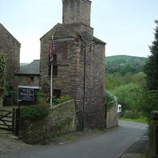
Disused Colliery Air Shaft Tower
1.1 km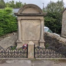
Bridgemont War Memorial
707 m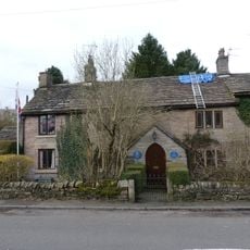
Brierley Green Farmhouse and Barn
820 m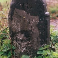
Milestone, Chapel Road; E of Whaley Bridge
1.8 km
Milestone, bridge over River Goyt
1 kmHeeft u deze plek bezocht? Tik op de sterren om een beoordeling te geven en uw ervaring of foto's te delen met de community! Probeer het nu! U kunt het op elk moment annuleren.
Ontdek verborgen schatten op elk avontuur!
Van karakteristieke kleine cafeetjes tot geheime uitzichtpunten – ontvlucht de drukte en vind plekken die echt bij jou passen. Onze app maakt het makkelijk: spraakzoekopdrachten, slimme filters, geoptimaliseerde routes en authentieke tips van reizigers wereldwijd. Download nu en beleef het avontuur op je smartphone!

Een nieuwe benadering van toeristische ontdekking❞
— Le Figaro
Alle plekken die de moeite waard zijn om te ontdekken❞
— France Info
Een uitstapje op maat in slechts een paar klikken❞
— 20 Minutes