
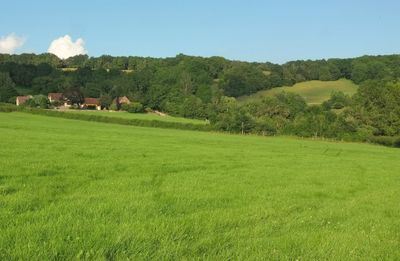
Upper Vinesend Farmhouse, farmhouse in Cradley, County of Herefordshire, UK
Locatie: Cradley and Storridge
GPS-coördinaten: 52.12641,-2.36663
Laatste update: 13 april 2025 om 22:05
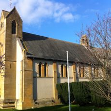
Church of the Ascension, Malvern Link
2.4 km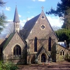
Holy Trinity Church, Malvern Link
2.6 km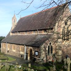
Church of St Peter, Cowleigh
1.9 km
Red Lion Inn
1.6 km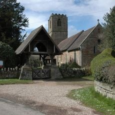
Church of St John the Baptist
2.4 km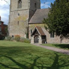
Church of St James
1.5 km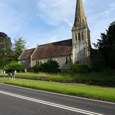
Church of St John the Evangelist
1 km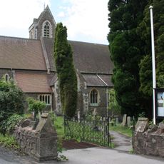
Church of St James
2 km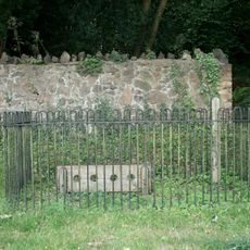
Stocks, Whipping Post And Animal Pound Opposite Holy Trinity Church
2.6 km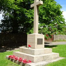
Maclean War Memorial
1.6 km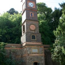
The Water Tower
2.1 km
Shaft Base Of Churchyard Cross
2.4 km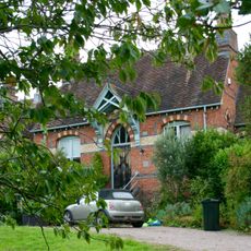
Redwood House (Formerly Malvern Rural Hospital)
2.5 km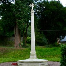
North Malvern War Memorial
2.6 km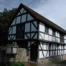
Cradley Village Hall
1.4 km
Crumpton Hill Farmhouse
1.6 km
Netherley Hall
1.6 km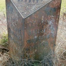
Milestone At So 723 474
2.7 km
Barn, Stable And Cart Shed South East Of Upper Vinesend Farmhouse
31 m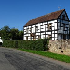
Brook House
2.2 km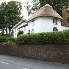
1 and 3, North Malvern Road
2.7 km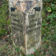
Milestone At So 749 486
1 km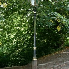
One Gas Street Lamp
2.3 km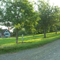
Crumpton Oaks
1.1 km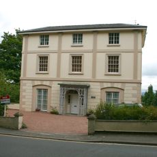
Aucott House
2.8 km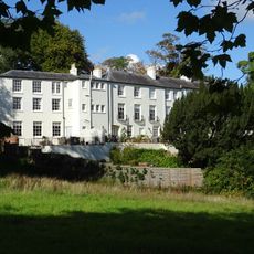
St Ann's Orchard
2.7 km
Abberley House
2.8 km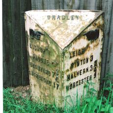
Milestone At So 737 481
1.4 kmHeeft u deze plek bezocht? Tik op de sterren om een beoordeling te geven en uw ervaring of foto's te delen met de community! Probeer het nu! U kunt het op elk moment annuleren.
Ontdek verborgen schatten op elk avontuur!
Van karakteristieke kleine cafeetjes tot geheime uitzichtpunten – ontvlucht de drukte en vind plekken die echt bij jou passen. Onze app maakt het makkelijk: spraakzoekopdrachten, slimme filters, geoptimaliseerde routes en authentieke tips van reizigers wereldwijd. Download nu en beleef het avontuur op je smartphone!

Een nieuwe benadering van toeristische ontdekking❞
— Le Figaro
Alle plekken die de moeite waard zijn om te ontdekken❞
— France Info
Een uitstapje op maat in slechts een paar klikken❞
— 20 Minutes