
Kings End House, house in Redmarley D'abitot, Forest of Dean, Gloucestershire, UK
Locatie: Redmarley D'Abitot
GPS-coördinaten: 51.98216,-2.36022
Laatste update: 5 maart 2025 om 23:56

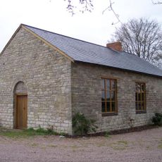
Gadfield Elm Chapel
3.1 km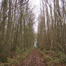
Collinpark Wood SSSI
3.7 km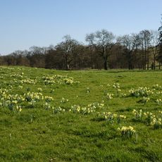
Ketford Bank
3.1 km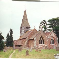
Church of St Mary
2.4 km
Church of St John Baptist
4.6 km
Church of St John the Evangelist
2.6 km
Church of St James
3.7 km
Church of St Bartholomew
310 m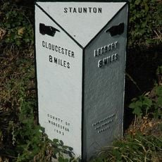
Milestone, About 24 Metres East Of Footpath To Church
3.6 km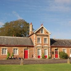
Prince Of Wales Public House
4.6 km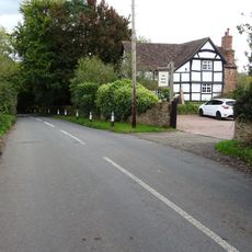
Rock Farmhouse
299 m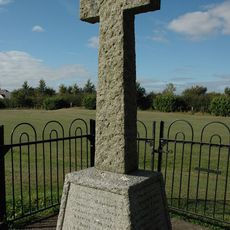
Staunton War Memorial
3.6 km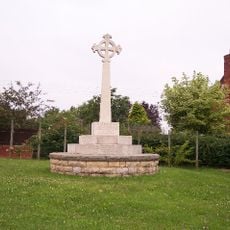
Redmarley D'Abitot War Memorial
160 m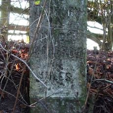
Milestone At National Grid Reference So 7192 3461
4.6 km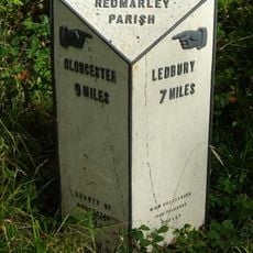
Milestone At Ngr So769301
2.1 km
Bromsberrow War Memorial
2.4 km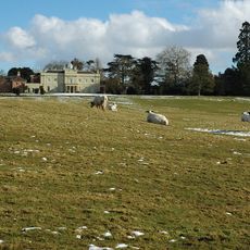
Bromsberrow Place
2.7 km
Snig's End Farmhouse
4.7 km
Sladbrook Farmhouse
3.3 km
Clenchers Mill
4.2 km
Hayes Farmhouse
4.3 km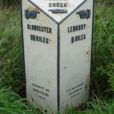
Milestone, About 85 Metres North Of The Rose And Crown Public House
930 m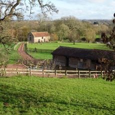
Mill, About 150 Metres East South East Of Pauntley Court
2.6 km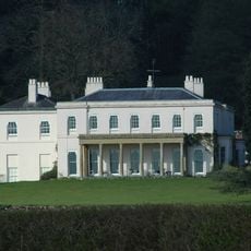
Haffield
3.6 km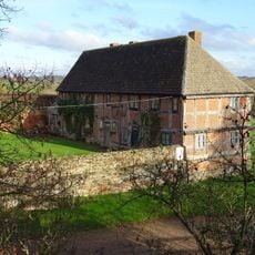
Stables, About 46 Metres South Of Pauntley Court
2.6 km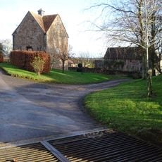
Dovecote, Pauntley Court
2.6 km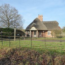
Lodge, Circa 430 Metres South West Of Bromsberrow Place
2.4 km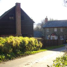
Clenchers Mill House
4.2 kmHeeft u deze plek bezocht? Tik op de sterren om een beoordeling te geven en uw ervaring of foto's te delen met de community! Probeer het nu! U kunt het op elk moment annuleren.
Ontdek verborgen schatten op elk avontuur!
Van karakteristieke kleine cafeetjes tot geheime uitzichtpunten – ontvlucht de drukte en vind plekken die echt bij jou passen. Onze app maakt het makkelijk: spraakzoekopdrachten, slimme filters, geoptimaliseerde routes en authentieke tips van reizigers wereldwijd. Download nu en beleef het avontuur op je smartphone!

Een nieuwe benadering van toeristische ontdekking❞
— Le Figaro
Alle plekken die de moeite waard zijn om te ontdekken❞
— France Info
Een uitstapje op maat in slechts een paar klikken❞
— 20 Minutes