
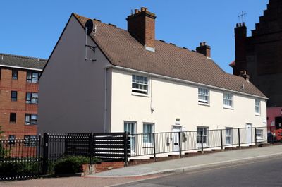
28 And 30, Erith High Street, building in Bexley, Greater London, UK
Locatie: London Borough of Bexley
Adres: 28 And 30, Erith High Street, Bexley, Greater London, DA8
GPS-coördinaten: 51.48148,0.18119
Laatste update: 2 april 2025 om 00:19
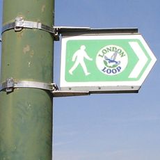
London Outer Orbital Path
290 m
Tilda
2.2 km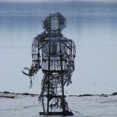
The Diver
1.8 km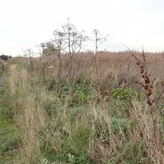
Rainham Marshes Nature Reserve
3.2 km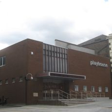
Erith Playhouse
41 m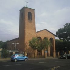
Our Lady of the Angels Church, Erith
1.4 km
One Bell
3.1 km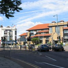
Bexley Civic Offices
3.5 km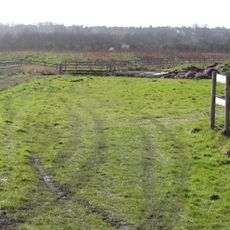
Crossness Nature Reserve
3.2 km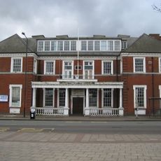
Crayford Town Hall
3.5 km
Church of St Paulinus, Crayford
3 km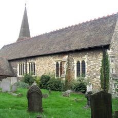
Parish Church of St John the Baptist
1 km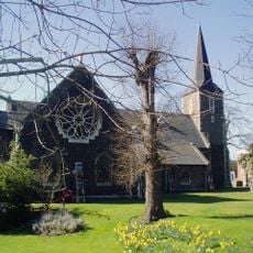
Parish Church of All Saints
2.3 km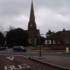
Christ Church
373 m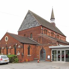
St Paul's
1.8 km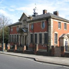
Erith Old Library
235 m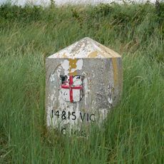
Coal Duty Boundary Marker (On Foreshore, At Mouth Of River Darenth, West Bank)
2.5 km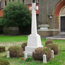
Erith (Christ Church) War Memorial
374 m
Crayford War Memorial
2.7 km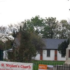
St Stephen's Church
3.5 km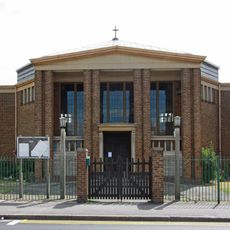
St Peter's
3.5 km
Orchard House
3.5 km
The Long Shed (Part Of David Evans Limited Factory At Number 71)
3.3 km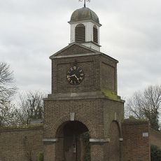
Clock Tower And Attached Walls
3.5 km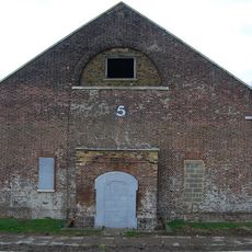
Government Powder Magazine
3.3 km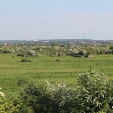
World War II Heavy Anti-Aircraft (Haa) Battery
1.8 km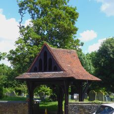
Lychgate to West of Parish Church of St Paulinus
3 km
The Oakwood
3 kmHeeft u deze plek bezocht? Tik op de sterren om een beoordeling te geven en uw ervaring of foto's te delen met de community! Probeer het nu! U kunt het op elk moment annuleren.
Ontdek verborgen schatten op elk avontuur!
Van karakteristieke kleine cafeetjes tot geheime uitzichtpunten – ontvlucht de drukte en vind plekken die echt bij jou passen. Onze app maakt het makkelijk: spraakzoekopdrachten, slimme filters, geoptimaliseerde routes en authentieke tips van reizigers wereldwijd. Download nu en beleef het avontuur op je smartphone!

Een nieuwe benadering van toeristische ontdekking❞
— Le Figaro
Alle plekken die de moeite waard zijn om te ontdekken❞
— France Info
Een uitstapje op maat in slechts een paar klikken❞
— 20 Minutes