
The Bathing House, woonhuis in Northumberland, Verenigd Koninkrijk
Locatie: Longhoughton
Ontstaan: 1840
GPS-coördinaten: 55.45078,-1.58788
Laatste update: 3 april 2025 om 00:58

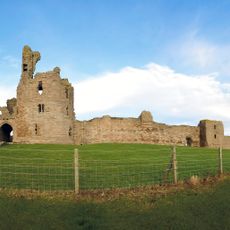
Dunstanburgh Castle
4.2 km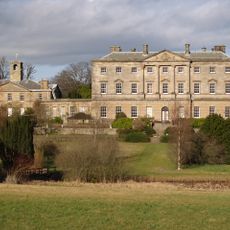
Howick Hall
1.4 km
Howick house
482 m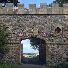
Craster Tower
2.3 km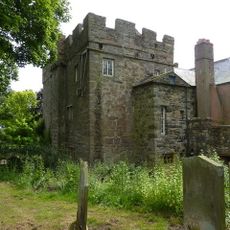
Embleton Tower
5.8 km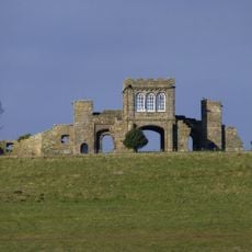
The Observatory
4.7 km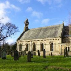
Church of St Michael and All Angels
1.3 km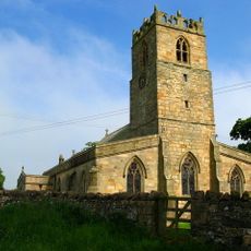
Church of the Holy Trinity, Embleton
5.9 km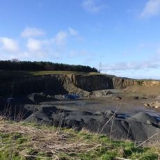
Longhoughton Quarry
3.8 km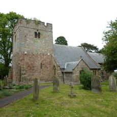
Church of Saints Peter and Paul
3 km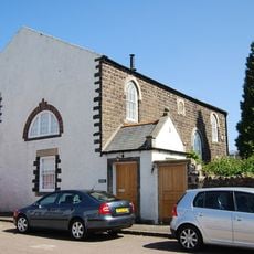
Embleton United Reformed Church
5.9 km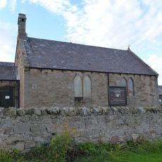
St Peter the Fisherman
2.3 km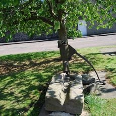
Village Pump
5.9 km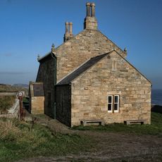
Outbuilding South West Of The Bathing House
17 m
Defended settlement, 600m south east of Red Stead
1.3 km
Dunstan Hall
2.9 km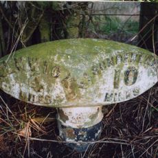
Mile Post 400 Metres South Of Renington South East Farm
4.9 km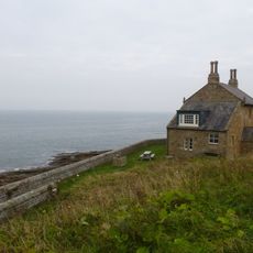
Wall And Steps To East Of The Bathing House
28 m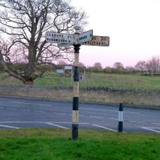
Signpost At Juntion With Station Road
3.2 km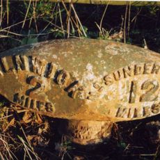
Milepost 380 Metres North Of Denwick Bridge End
6.1 km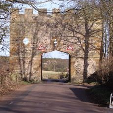
Gateway Spanning Road To North Of Craster Tower
2.4 km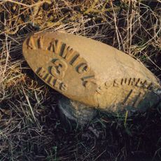
Milepost 300 Metres North Of Denwick Lane End
5.1 km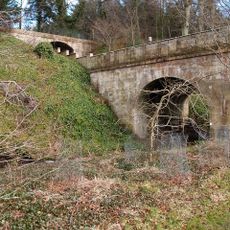
Road Bridge And Footbridge 320 Metres South East Of Howick Hall
1.1 km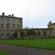
Stableyard Buildings At East End Of Howick Hall
1.3 km
Garden Wall To West Of Boulmer Hall
3.1 km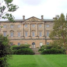
Howick Hall Centre Block And Link Galleries
1.4 km
Howick Hall West Wing
1.4 km
Dovecote at rear of Number 4
5.6 kmHeeft u deze plek bezocht? Tik op de sterren om een beoordeling te geven en uw ervaring of foto's te delen met de community! Probeer het nu! U kunt het op elk moment annuleren.
Ontdek verborgen schatten op elk avontuur!
Van karakteristieke kleine cafeetjes tot geheime uitzichtpunten – ontvlucht de drukte en vind plekken die echt bij jou passen. Onze app maakt het makkelijk: spraakzoekopdrachten, slimme filters, geoptimaliseerde routes en authentieke tips van reizigers wereldwijd. Download nu en beleef het avontuur op je smartphone!

Een nieuwe benadering van toeristische ontdekking❞
— Le Figaro
Alle plekken die de moeite waard zijn om te ontdekken❞
— France Info
Een uitstapje op maat in slechts een paar klikken❞
— 20 Minutes