
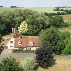
26 And 28, School Road, building in Kedington, St. Edmundsbury, Suffolk, UK
Locatie: Kedington
Adres: 26 And 28, School Road, Kedington, St. Edmundsbury, Suffolk, CB9
GPS-coördinaten: 52.09227,0.48434
Laatste update: 3 maart 2025 om 03:35

Cotton Hall
1.2 km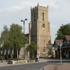
Church of St Mary
3.3 km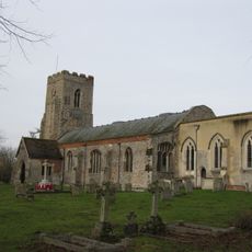
Church of St Peter and St Paul, Kedington
405 m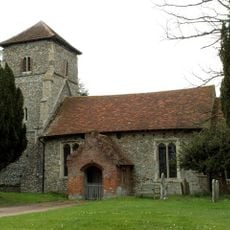
Parish Church of St Mary the Virgin
3.1 km
Old Independent Church
3.2 km
Church of All Saints
2.2 km
Church of St Mary
2.1 km
Church of St Mary
1.6 km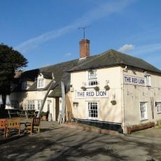
Red Lion Inn
1.9 km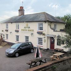
The White Horse Inn
142 m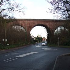
The Sturmer Arches
3 km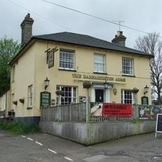
The Barnardiston Arms Public House
324 m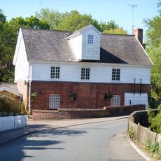
Water Mill
284 m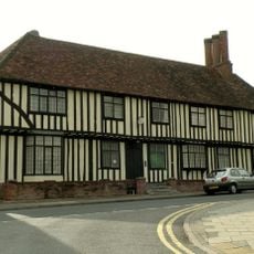
Anne Of Cleves House
3.2 km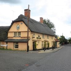
The Red Lion Public House
2.7 km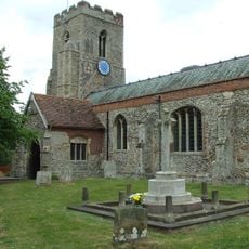
Kedington War Memorial
400 m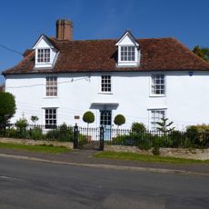
White House
290 m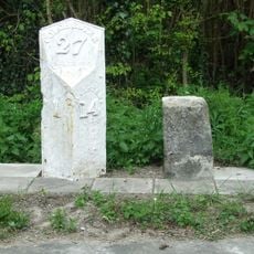
Milestone and milepost standing on the south side of Rowley Hill (A1017), around 60m south-east of its junction with Church Walk
2.8 km
Premises Approximately 70 Yards South-East Of Barton Place
398 m
House At Water Mill
311 m
The Old Forge
282 m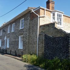
Suffolk House
325 m
Mill House
2 km
The Dell
273 m
Bridge House
296 m
Silvertails And Shameen
311 m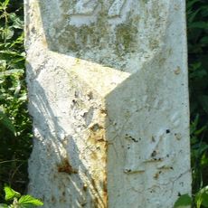
Milestone, Rowley Hill, W of jct with Church Croft
2.8 km
Milepost, Rowley Hill, W of jct with Church Croft
2.8 kmHeeft u deze plek bezocht? Tik op de sterren om een beoordeling te geven en uw ervaring of foto's te delen met de community! Probeer het nu! U kunt het op elk moment annuleren.
Ontdek verborgen schatten op elk avontuur!
Van karakteristieke kleine cafeetjes tot geheime uitzichtpunten – ontvlucht de drukte en vind plekken die echt bij jou passen. Onze app maakt het makkelijk: spraakzoekopdrachten, slimme filters, geoptimaliseerde routes en authentieke tips van reizigers wereldwijd. Download nu en beleef het avontuur op je smartphone!

Een nieuwe benadering van toeristische ontdekking❞
— Le Figaro
Alle plekken die de moeite waard zijn om te ontdekken❞
— France Info
Een uitstapje op maat in slechts een paar klikken❞
— 20 Minutes