
Thorntree Farmhouse, farmhouse in Newcastle upon Tyne, Tyne and Wear, UK
Locatie: Newcastle upon Tyne
GPS-coördinaten: 54.98271,-1.68558
Laatste update: 8 april 2025 om 02:15
The Mitre
1.3 km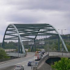
Scotswood Bridge
1.8 km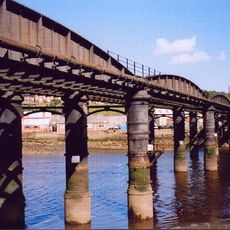
Scotswood Railway Bridge
1.7 km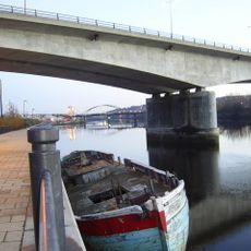
Blaydon Bridge
1.6 km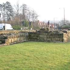
Milecastle 7
650 m
Milecastle 9
2.5 km
Milecastle 8
1 km
Milecastle 6
2.3 km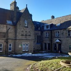
Royal Victoria School For The Blind
1.5 km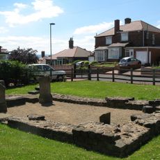
Temple of Antenociticus in New upon Tyne
1.7 km
Church of Holy Saviour, Lemington
1.7 km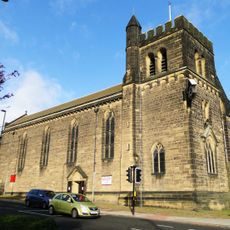
Church of St James and St Basil
2.3 km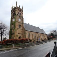
Church of St Cuthbert
2.7 km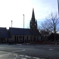
Church of St James
2 km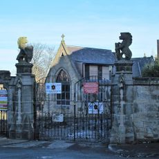
West Gateway, Walls And Gates Of St Nicholas Cemetery
2.6 km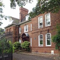
Church House And Dwarf Walls In Front
2.6 km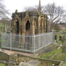
Mather Tomb In St John's Cemetery
2.8 km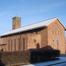
Holy Cross Church, Fenham
1.1 km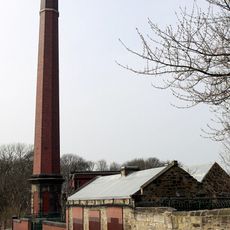
Benwell Waterworks Chimney
1.3 km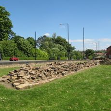
Roman Turret Opposite Number 800, Bishops House (denton Hall) With Section Of Hadrian's Wall
398 m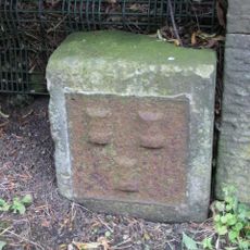
Town Moor Boundary Stone About One Metre North Of Millmount
2.4 km
Outer West Library
1.4 km
Vallum crossing at Benwell Fort
1.5 km
Former Whickham View Schools
685 m
Hadrian's Wall and vallum in wall mile 8 from Denton to Blucher
1.6 km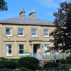
Newcastle General Hospital Young People's Unit And Dwarf Walls In Front
2.7 km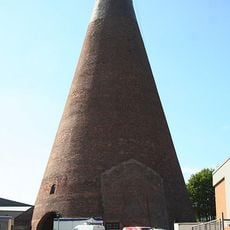
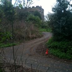
Lemington Cone
2 km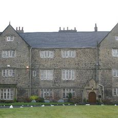
Bishop's House
448 mHeeft u deze plek bezocht? Tik op de sterren om een beoordeling te geven en uw ervaring of foto's te delen met de community! Probeer het nu! U kunt het op elk moment annuleren.
Ontdek verborgen schatten op elk avontuur!
Van karakteristieke kleine cafeetjes tot geheime uitzichtpunten – ontvlucht de drukte en vind plekken die echt bij jou passen. Onze app maakt het makkelijk: spraakzoekopdrachten, slimme filters, geoptimaliseerde routes en authentieke tips van reizigers wereldwijd. Download nu en beleef het avontuur op je smartphone!

Een nieuwe benadering van toeristische ontdekking❞
— Le Figaro
Alle plekken die de moeite waard zijn om te ontdekken❞
— France Info
Een uitstapje op maat in slechts een paar klikken❞
— 20 Minutes