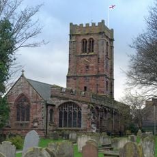
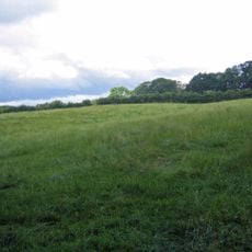
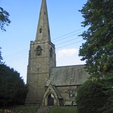
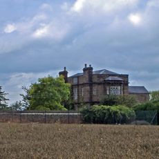
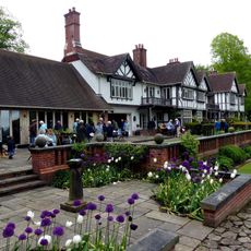
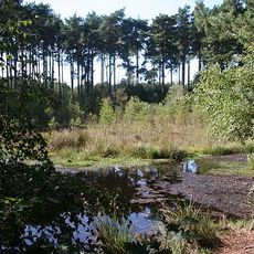
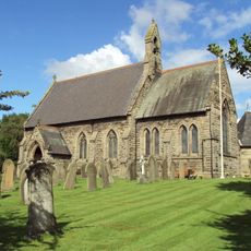
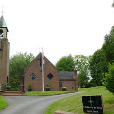
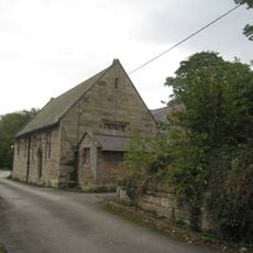
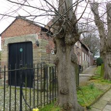
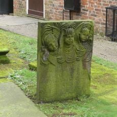
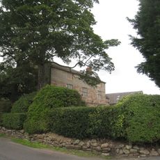
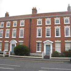
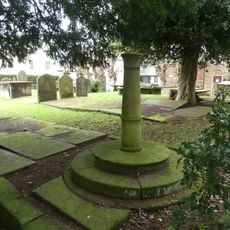
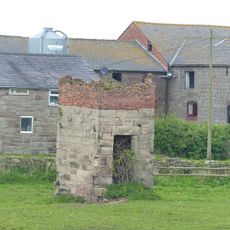
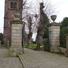
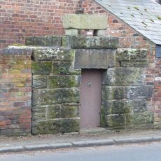
Ashton Hayes and Horton-cum-Peel, civil parish in Cheshire West and Chester, Cheshire, England
Locatie: Cheshire West and Chester
Grenst aan: 
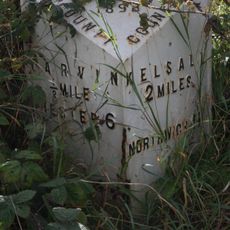
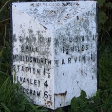
Mouldsworth, Manley, Delamere and Oakmere, Kelsall, Tarvin, Barrow
GPS-coördinaten: 53.21900,-2.74000
Laatste update: 4 maart 2025 om 23:05
St Andrew's Church, Tarvin
2.8 km
Kelsborrow Castle
3.1 km
St John the Evangelist's Church, Ashton Hayes
446 m
Peel Hall
924 m
Manley Knoll
3.2 km
Black Lake Nature Reserve
3.4 km
St Philip's Church, Kelsall
2.3 km
Church of St Cuthbert by the Forest
1.3 km
Red Lion
2.9 km
Church House
2.8 km
Number 86 and attached outbuilding
2.7 km
Mouldsworth Hall
1.4 km
Kelsall Hall
2.2 km
Ashton Village Hall
462 m
Church Hall, Grammar School House and the Hearse House
2.8 km
Tombstone of Beatrix Hollinsworth 12 metres west door of Church of St Andrew
2.8 km
Ashton Hall Farmhouse
356 m
The Flaggs and Hamilton House, and front garden walls and gates
2.8 km
Sundial in the churchyard of St Andrew
2.9 km
Laurel House
2.7 km
Dovecot 45 metres east of Manley Old Hall
3.3 km
Gates and gatepiers to the churchyard of St. Andrew
2.9 km
76, High Street
2.7 km
Lock up on the end of the barn at Weldon House
1.9 km
78 and 80, High Street
2.7 km
Milepost, Tarvin Sands
2.1 km
Milepost, S of Ashton Village
634 m
Milepost, Chester Road
2.2 kmHeeft u deze plek bezocht? Tik op de sterren om een beoordeling te geven en uw ervaring of foto's te delen met de community! Probeer het nu! U kunt het op elk moment annuleren.
Ontdek verborgen schatten op elk avontuur!
Van karakteristieke kleine cafeetjes tot geheime uitzichtpunten – ontvlucht de drukte en vind plekken die echt bij jou passen. Onze app maakt het makkelijk: spraakzoekopdrachten, slimme filters, geoptimaliseerde routes en authentieke tips van reizigers wereldwijd. Download nu en beleef het avontuur op je smartphone!
Een nieuwe benadering van toeristische ontdekking❞
— Le Figaro
Alle plekken die de moeite waard zijn om te ontdekken❞
— France Info
Een uitstapje op maat in slechts een paar klikken❞
— 20 Minutes