
St Alban's, Cheam, kerkgebouw in Verenigd Koninkrijk
Locatie: London
Locatie: London Borough of Sutton
Website: http://stalbanscheam.org.uk
GPS-coördinaten: 51.36800,-0.20660
Laatste update: 4 maart 2025 om 07:15
Sutton High Street
912 m
Whitehall
1.2 km
Secombe Theatre
961 m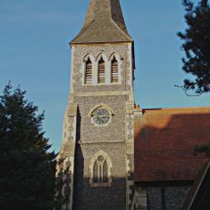
St Nicholas Church
1 km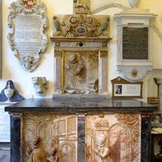
Lumley Chapel
1.1 km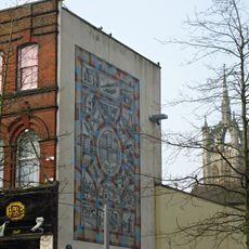
Sutton heritage mosaic
1.2 km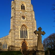
All Saints Church
1.1 km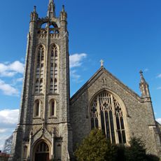
Trinity Church
1.1 km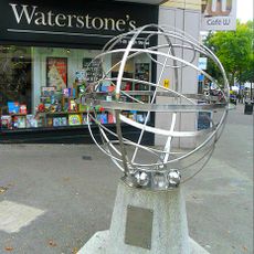
Millennium Dial Armillary
1.2 km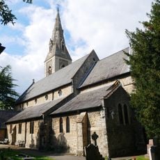
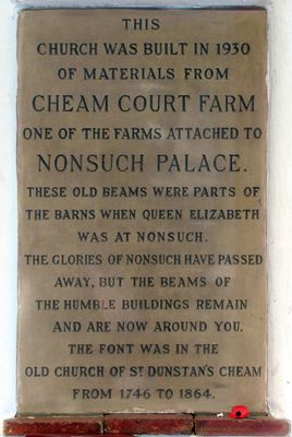
Church of St Dunstan
1.1 km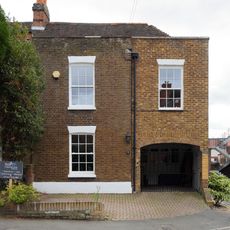
3 And 5, Park Road
1.2 km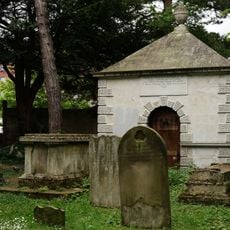
Gibson Mausoleum in St Nicholas' Churchyard
994 m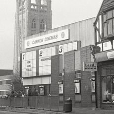
Cannon Sutton
1.2 km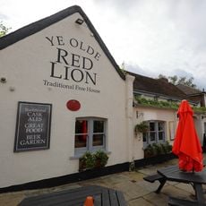
Old Red Lion Inn
1.1 km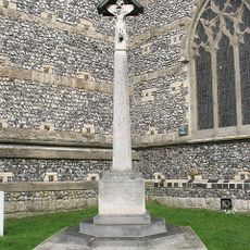
Benhilton War Memorial
1 km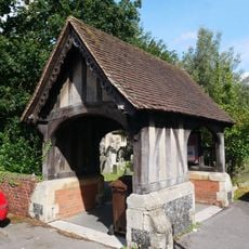
Lychgate in the Churchyard of St Dunstan's
1.1 km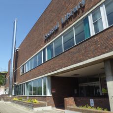
Sutton Central Library
1.1 km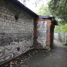
Boundary Wall And Outbuilding To Former West Cheam Manor House
1 km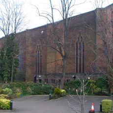
Sutton Baptist Church Including The Church Hall And Number 21 (Sutton Baptist Church Sunday School)
1.1 km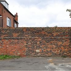
South Garden Wall To Number 38
1.2 km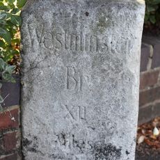
Milestone outside No. 135 Cheam Road, Cheam
936 m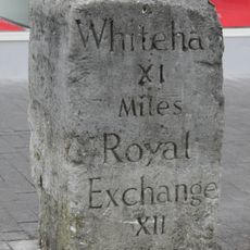
Milestone in Sutton High Street
887 m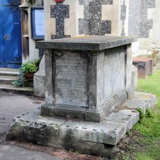
Tomb of the Hall family in the churchyard of St Nicholas
1 km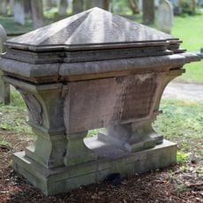
Tomb of Cecil Talbot in the churchyard of St Nicholas
985 m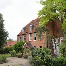
The Rectory
1.2 km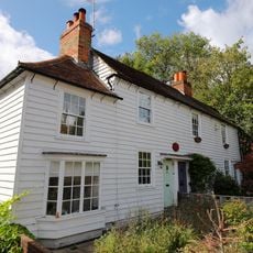
5-9, Malden Road
1.2 km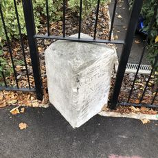
Milestone, Cheam Road, by No. 135, opp. Carlisle Road
931 m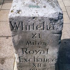
Milestone, Sutton High Street; by Sports Bar
772 mHeeft u deze plek bezocht? Tik op de sterren om een beoordeling te geven en uw ervaring of foto's te delen met de community! Probeer het nu! U kunt het op elk moment annuleren.
Ontdek verborgen schatten op elk avontuur!
Van karakteristieke kleine cafeetjes tot geheime uitzichtpunten – ontvlucht de drukte en vind plekken die echt bij jou passen. Onze app maakt het makkelijk: spraakzoekopdrachten, slimme filters, geoptimaliseerde routes en authentieke tips van reizigers wereldwijd. Download nu en beleef het avontuur op je smartphone!

Een nieuwe benadering van toeristische ontdekking❞
— Le Figaro
Alle plekken die de moeite waard zijn om te ontdekken❞
— France Info
Een uitstapje op maat in slechts een paar klikken❞
— 20 Minutes