
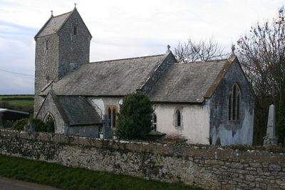
Church of the Holy Trinity, kerkgebouw
Locatie: St Donats
Ontstaan: 12e eeuw
Hoogte boven de zeespiegel: 49,3 m
GPS-coördinaten: 51.41030,-3.55290
Laatste update: 7 maart 2025 om 12:15
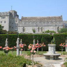
St Donat's Castle
1.6 km
St Illtyd's Church, Llantwit Major
4.5 km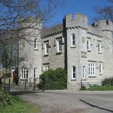
Dimlands
3.6 km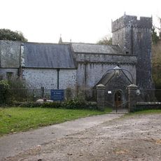
Church Of St Donat
1.6 km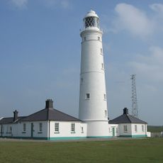
Vuurtoren van Nash Point
1.1 km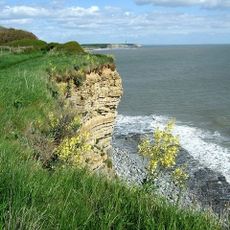
Valeways Millennium Heritage Trail
4.5 km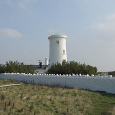
Old Nash Point Lighthouse
1.1 km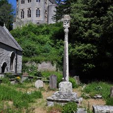
St Donat's Churchyard Cross
1.6 km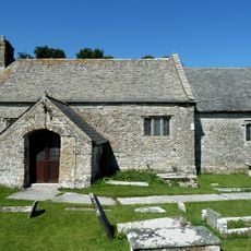
St Mary's Church
1.4 km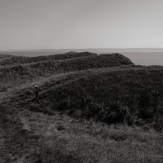
Nash Point Camp
818 m
Well opposite Downcross Farm
4.5 km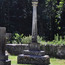
Nicholl-Carne Memorial Cross in Churchyard of Church of St Donat
1.6 km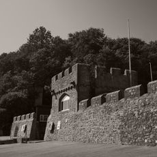
Sea Walls and Towers at St Donats Castle
1.9 km
The Old Police Station
4.5 km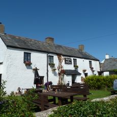
The Plough and Harrow
1.5 km
West Farmhouse
4.4 km
Plymouth House
4.4 km
Old Place (or Llantwit Major Castle)
4.5 km
Cross in Churchyard of Church of St. Illtud
4.5 km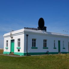
Fog Station at Nash Point Lighthouse
1 km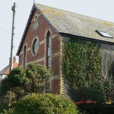
Ebenezer Calvinistic Methodist Chapel
1.9 km
Footbridge over brook at West entrance to churchyard of Church of St Illtud
4.5 km
Swimbridge Farmhouse with attached garden walls
4.5 km
Chantry House
4.5 km
Former Chantry Priest's House
4.5 km
The Gatehouse (porter's Room)
4.5 km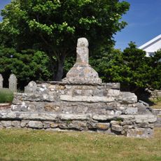
Remains of Preaching Cross, Church of St. James
3.1 km
Llantwit Major Dovecote
4.5 kmHeeft u deze plek bezocht? Tik op de sterren om een beoordeling te geven en uw ervaring of foto's te delen met de community! Probeer het nu! U kunt het op elk moment annuleren.
Ontdek verborgen schatten op elk avontuur!
Van karakteristieke kleine cafeetjes tot geheime uitzichtpunten – ontvlucht de drukte en vind plekken die echt bij jou passen. Onze app maakt het makkelijk: spraakzoekopdrachten, slimme filters, geoptimaliseerde routes en authentieke tips van reizigers wereldwijd. Download nu en beleef het avontuur op je smartphone!

Een nieuwe benadering van toeristische ontdekking❞
— Le Figaro
Alle plekken die de moeite waard zijn om te ontdekken❞
— France Info
Een uitstapje op maat in slechts een paar klikken❞
— 20 Minutes