
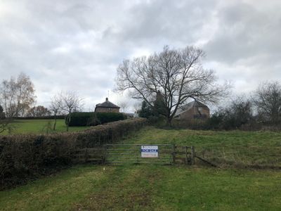
Trivor Farmhouse, house in St Maughans, Monmouthshire
Locatie: Llangattock-Vibon-Avel
Hoogte boven de zeespiegel: 52,7 m
GPS-coördinaten: 51.85560,-2.77833
Laatste update: 15 april 2025 om 05:40
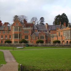
The Hendre
3.7 km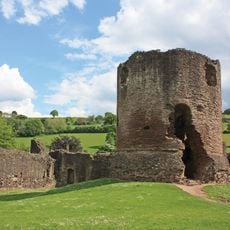
Skenfrith Castle
2.7 km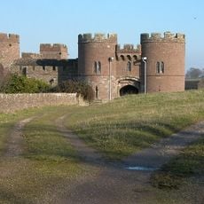
Pembridge Castle
2.8 km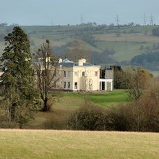
Hilston Park
2.1 km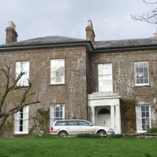
Cwm, Llanrothal
2.4 km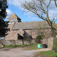
St. Bridget's Church, Skenfrith
2.8 km
Grace Dieu Abbey, Monmouth
3.5 km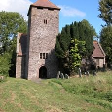
St Cadoc's Church
2.2 km
Croft-Y-Bwla
4.9 km
St John the Baptist's Church, Llanrothal
1 km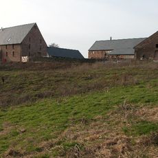
Great Manson Farm, Monmouth
4 km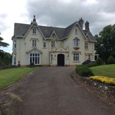
Pentwyn
3.2 km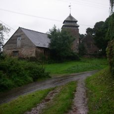
St Maughan's Church
688 m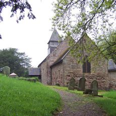
Church of St Michael and All Angels
5 km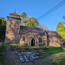
St Cenedlon's Church
3.3 km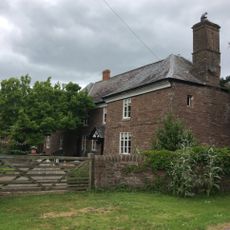
Norton Court
3.2 km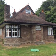
Swiss Cottage
3.7 km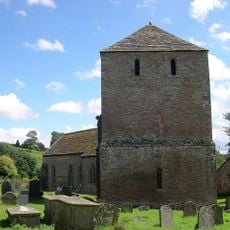
Church of St Michael
4.9 km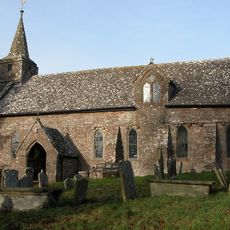
Church of St Mary
3.5 km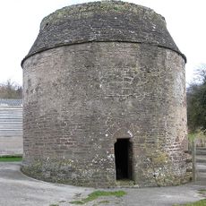
Dovecot About 80 Yards South East Of The Church Of St Michael
4.8 km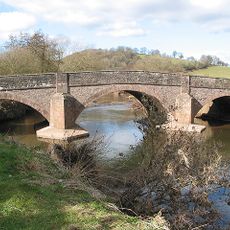
Skenfrith Bridge
2.6 km
Kemble Monument Approximately 15 Metres South East Of Church Of St Mary
3.5 km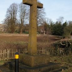
Welsh Newton And Llanrothal War Memorial
3.4 km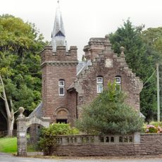
Monmouth Lodge
3.9 km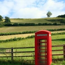
Telephone Call-box
2.6 km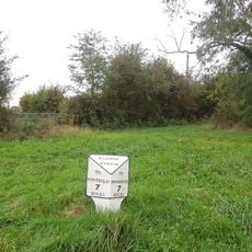
Milepost At So 469 226
4.9 km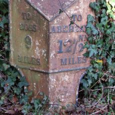
Milepost About 10 Yards West South West Of Southwell Court
3.6 km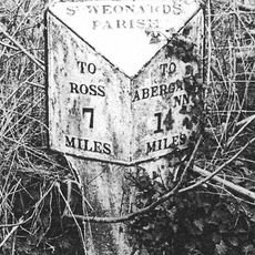
Milepost At Ngr 487215
4.4 kmHeeft u deze plek bezocht? Tik op de sterren om een beoordeling te geven en uw ervaring of foto's te delen met de community! Probeer het nu! U kunt het op elk moment annuleren.
Ontdek verborgen schatten op elk avontuur!
Van karakteristieke kleine cafeetjes tot geheime uitzichtpunten – ontvlucht de drukte en vind plekken die echt bij jou passen. Onze app maakt het makkelijk: spraakzoekopdrachten, slimme filters, geoptimaliseerde routes en authentieke tips van reizigers wereldwijd. Download nu en beleef het avontuur op je smartphone!

Een nieuwe benadering van toeristische ontdekking❞
— Le Figaro
Alle plekken die de moeite waard zijn om te ontdekken❞
— France Info
Een uitstapje op maat in slechts een paar klikken❞
— 20 Minutes