
Defended settlement, 400m south west of South Farm, Houghton
Defended settlement, 400m south west of South Farm, Houghton, archaeological site in Heddon-on-the-Wall, Northumberland, England, UK
Locatie: Heddon-on-the-Wall
GPS-coördinaten: 54.99350,-1.81018
Laatste update: 17 juni 2025 om 23:12

Close House
836 m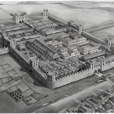
Vindobala
1.3 km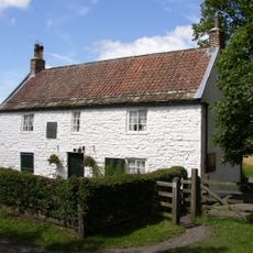
George Stephenson's Birthplace
1.6 km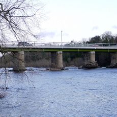
Wylam Bridge
2.1 km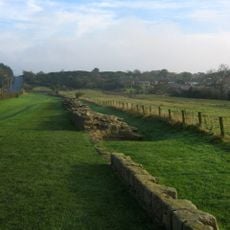
Milecastle 12
1.4 km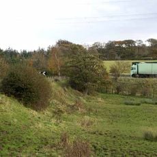
Milecastle 13
774 m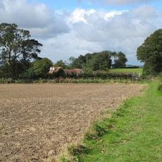
Milecastle 14
1.8 km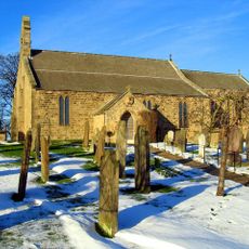
Church of St Andrew
1.2 km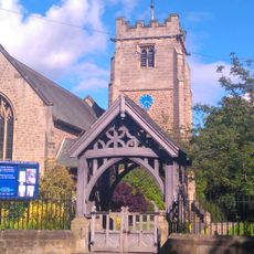
Church of St Oswin
2 km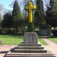
Heddon-on-the-Wall Memorial Cross with memorial park walls and gate piers
1.2 km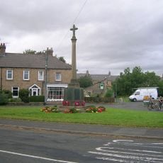
Wylam War Memorial
2 km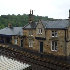
Wylam Station And Station-master's House
2.1 km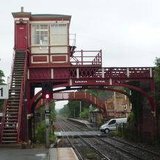
Wylam signal box
2.1 km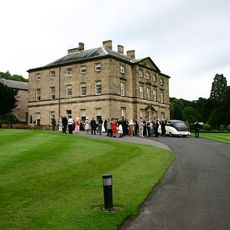
Close House
843 m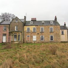
Oakwood House
1.2 km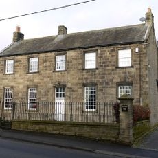
Old Schoolhouse
451 m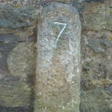
Milestone, Military Road, Heddon (cut off section of road?)
1.3 km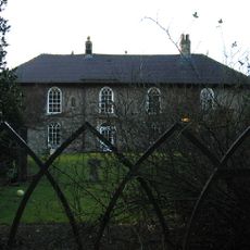
Rudchester
1.3 km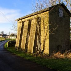
Water Tower Approx 200 Yards East Of Heddon Steads
2.1 km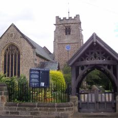
Lychgate C20 Yards South-West Of Church Of St Oswin
2.1 km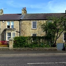
1, Blackett Court
2.2 km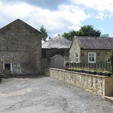
Farmbuildings And Gingang Attached To East Of Heddon Banks Farmhouse
997 m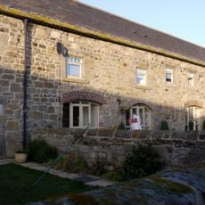
Byre And Shelter Sheds North Of East Heddon
2.2 km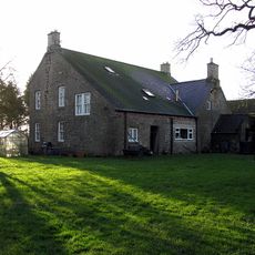
West Heddon Farmhouse
2.1 km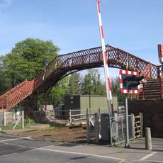
Footbridge at Wylam railway station
2.1 km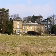
Holeyn Hall
1.4 km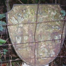
Milepost, Hexham Road
1.7 km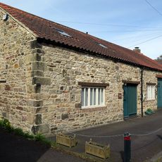
Wylam Forge
2.1 kmBeoordelingen
Heeft u deze plek bezocht? Tik op de sterren om een beoordeling te geven en uw ervaring of foto's te delen met de community! Probeer het nu! U kunt het op elk moment annuleren.
Ontdek verborgen schatten op elk avontuur!
Van karakteristieke kleine cafeetjes tot geheime uitzichtpunten – ontvlucht de drukte en vind plekken die echt bij jou passen. Onze app maakt het makkelijk: spraakzoekopdrachten, slimme filters, geoptimaliseerde routes en authentieke tips van reizigers wereldwijd. Download nu en beleef het avontuur op je smartphone!

Een nieuwe benadering van toeristische ontdekking❞
— Le Figaro
Alle plekken die de moeite waard zijn om te ontdekken❞
— France Info
Een uitstapje op maat in slechts een paar klikken❞
— 20 Minutes