
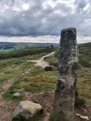
Cup marked boundary stone known as Churn Milk Joan on Crow Hill, Midgley Moor, 580m north of Foster Clough Bridge
Cup marked boundary stone known as Churn Milk Joan on Crow Hill, Midgley Moor, 580m north of Foster Clough Bridge, boundary marker in Hebden Royd, Calderdale, England, UK
Locatie: Hebden Royd
Locatie: Wadsworth
Ontstaan: 16e eeuw
Onderdeel van: political border
GPS-coördinaten: 53.74550,-1.97149
Laatste update: 3 maart 2025 om 03:25
Cairn known as Millers Grave on Midgley Moor
693 m
Church of St Michael
1.8 km
Hawks Clough Bridge
1.9 km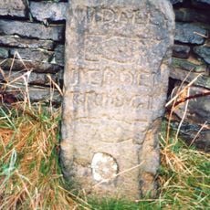
Guide Post At Se 015270 20 Metres To West Of Rough Bottom
756 m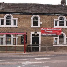
The Dusty Miller Public House And Attached Barn
1.8 km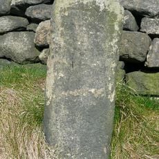
Guide Post At Se 000272 At Junction Of Burlees Lane
2 km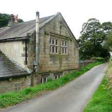
Wadsworth Banks Farmhouse
1 km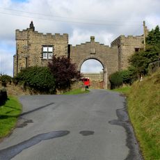
Height Lodge and archway
1.9 km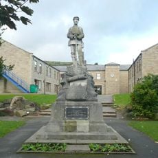
Mytholmroyd War Memorial at Se 012260 50 Metres to East of the Dusty Miller Public House
1.8 km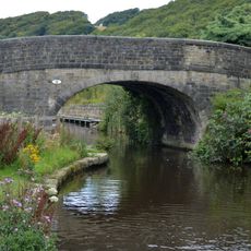
Rochdale Canal Redacre Bridge
1.7 km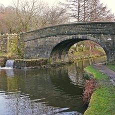
Rochdale Canal Broadbottom Bridge
1.8 km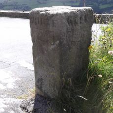
Guidestone, jct Wadsworth Lane/Height Rd/Nook Lane
1.4 km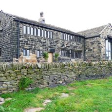
Wadsworth Royd Farmhouse
1.1 km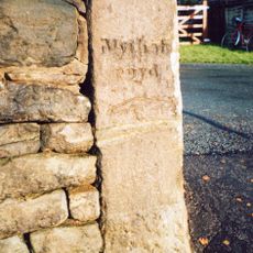
Guide Post At Se 026264 At Junction Of Height Road
1.5 km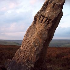
Greenwood Stone
896 m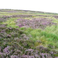
Enclosed Bronze Age urnfield 440m north west of Rough Bottom on Midgeley Moor
704 m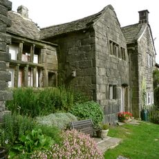
Broad Bottom Old Hall
1.6 km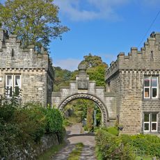
Low Lodge at Castle Carr
1.5 km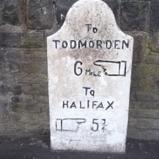
Milestone At Se 016260 At Junction Of White Lee Gardens
1.7 km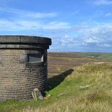
Ventilation shaft for Castle Carr Tunnel 400 metres east of Weavers Gate footpath
1.8 km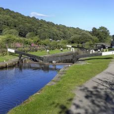
Rochdale Canal Lock Number 7 (Broadbottom) And Overflow Channel To North
1.8 km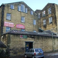
The Part Of Mount Pleasant Mills To Rear Of Mount Pleasant House Occupied By Aj Dyter, Cabinet Maker And Firth Joiners
1.6 km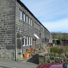
Numbers 1-6 Green End and attached barn
2 km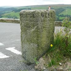
Guide Post At Se 006271 At Junction Of Wadsworth Lane
1.4 km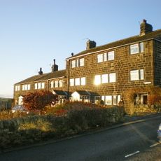
Club Houses
2 km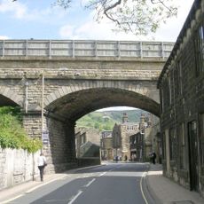
Mytholmroyd Viaduct
2 km
Redacre House
1.6 km
22,24,26,34,36,38,40, 42, Sunny Bank
1.5 kmHeeft u deze plek bezocht? Tik op de sterren om een beoordeling te geven en uw ervaring of foto's te delen met de community! Probeer het nu! U kunt het op elk moment annuleren.
Ontdek verborgen schatten op elk avontuur!
Van karakteristieke kleine cafeetjes tot geheime uitzichtpunten – ontvlucht de drukte en vind plekken die echt bij jou passen. Onze app maakt het makkelijk: spraakzoekopdrachten, slimme filters, geoptimaliseerde routes en authentieke tips van reizigers wereldwijd. Download nu en beleef het avontuur op je smartphone!

Een nieuwe benadering van toeristische ontdekking❞
— Le Figaro
Alle plekken die de moeite waard zijn om te ontdekken❞
— France Info
Een uitstapje op maat in slechts een paar klikken❞
— 20 Minutes