
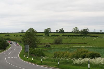
Dunsby medieval village
Dunsby medieval village, archaeological site in Cranwell, Brauncewell and Byard's Leap, North Kesteven, England, UK
Locatie: Cranwell, Brauncewell and Byard's Leap
GPS-coördinaten: 53.04910,-0.44964
Laatste update: 2 maart 2025 om 23:57
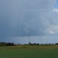
RAF Digby
4.8 km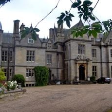
South Rauceby Hall
5.6 km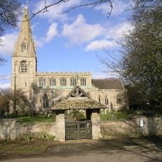
Church of St Peter, North Rauceby
5.2 km
Church of All Saints
1.2 km
Church of All Saints
4.2 km
Church of St Andrew
3.2 km
Church of St Mary
3.5 km
Church of St Thomas A Becket
5.3 km
Church of St Andrew
1.5 km
Church of St Hybald
3.7 km
Church of St James and St John
4.1 km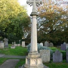
North Rauceby War Memorial
5.3 km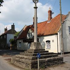
Digby village cross
5.4 km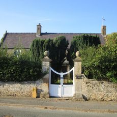
Dorrington House
4.1 km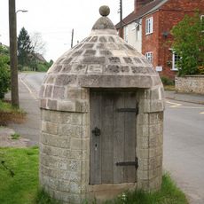
Village Lock Up
5.3 km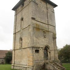
Church Tower To The North Of Temple Farmhouse
4 km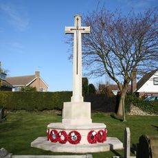
St Andrews' Churchyard War Memorial, Cranwell
1.5 km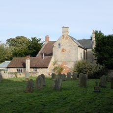
The Old Vicarage
5.2 km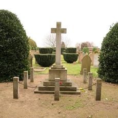
Ruskington War Memorial
4.4 km
2, Manor Street
4.3 km
Leasingham War Memorial
3.2 km
Lych Gate to Church of St Peter
5.3 km
Cross 3 Metres South West Of No 73
4.4 km
Milepost 3 Metres South Of Hall Farmhouse
3.2 km
The Close
4.2 km
Cranwell Cross
1.6 km
Milepost, Lincoln Road, 20m S of Ashby Lodge Farm
2.8 km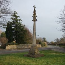
North Rauceby village cross
5.3 kmHeeft u deze plek bezocht? Tik op de sterren om een beoordeling te geven en uw ervaring of foto's te delen met de community! Probeer het nu! U kunt het op elk moment annuleren.
Ontdek verborgen schatten op elk avontuur!
Van karakteristieke kleine cafeetjes tot geheime uitzichtpunten – ontvlucht de drukte en vind plekken die echt bij jou passen. Onze app maakt het makkelijk: spraakzoekopdrachten, slimme filters, geoptimaliseerde routes en authentieke tips van reizigers wereldwijd. Download nu en beleef het avontuur op je smartphone!

Een nieuwe benadering van toeristische ontdekking❞
— Le Figaro
Alle plekken die de moeite waard zijn om te ontdekken❞
— France Info
Een uitstapje op maat in slechts een paar klikken❞
— 20 Minutes