
Causewayed camp on Hambledon Hill
Causewayed camp on Hambledon Hill, archaeological site in Iwerne Courtney or Shroton, Dorset, England, UK
Locatie: Iwerne Courtney or Shroton
GPS-coördinaten: 50.90940,-2.21602
Laatste update: 3 maart 2025 om 04:41
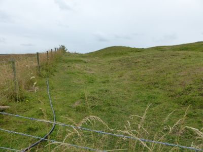
Hambledon Hill
419 m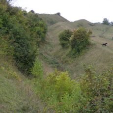
Hod Hill
1.6 km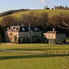
Stepleton House
1.7 km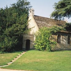
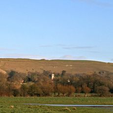
Church of St Michael and All Angels
1.1 km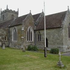
Church of St Mary
1.1 km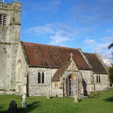
Church of St Nicholas
1.4 km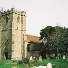
Church of the Holy Rood
2.6 km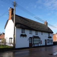
The Post Office
1.1 km
Dovecote and attached open shelter building 60m south-west Of Church Farmhouse
1.1 km
Hobnail Cottage
1.2 km
Larks Rise
1.2 km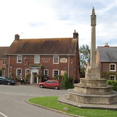
Child Okeford And Hanford War Memorial
1.5 km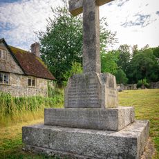
Shroton and Stepleton War Memorial
1.1 km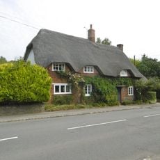
Greensleeves
2.6 km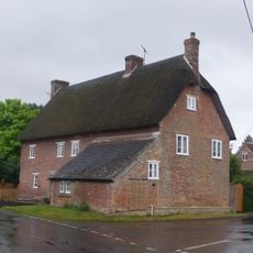
23 and 25 The Cross
1.2 km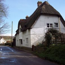
Thatched Cottage
1.1 km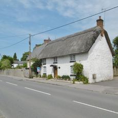
Japonica Cottage
2.5 km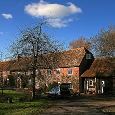
Oyles Mill and Mill House
2 km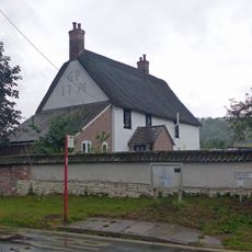
Hellum Farmhouse
1.2 km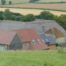
Barn 20m south of Church Farmhouse
1.1 km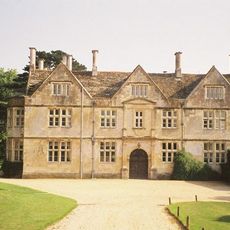
Hanford House
1.2 km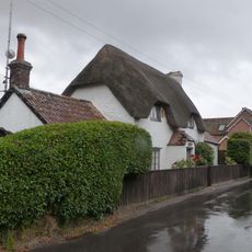
Littleport
1.2 km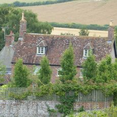
Church Farmhouse
1.1 km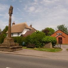
Village Cross
2.6 km
Hod Hill camp and Lydsbury Rings
1.7 km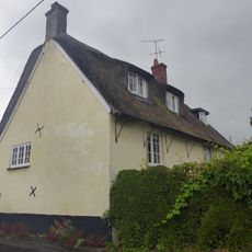
Little Grange
1.2 km
Fourways
1.2 km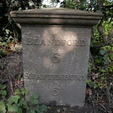
Milepost, S of village, 50m S of 30mph signs
2.2 kmHeeft u deze plek bezocht? Tik op de sterren om een beoordeling te geven en uw ervaring of foto's te delen met de community! Probeer het nu! U kunt het op elk moment annuleren.
Ontdek verborgen schatten op elk avontuur!
Van karakteristieke kleine cafeetjes tot geheime uitzichtpunten – ontvlucht de drukte en vind plekken die echt bij jou passen. Onze app maakt het makkelijk: spraakzoekopdrachten, slimme filters, geoptimaliseerde routes en authentieke tips van reizigers wereldwijd. Download nu en beleef het avontuur op je smartphone!

Een nieuwe benadering van toeristische ontdekking❞
— Le Figaro
Alle plekken die de moeite waard zijn om te ontdekken❞
— France Info
Een uitstapje op maat in slechts een paar klikken❞
— 20 Minutes