
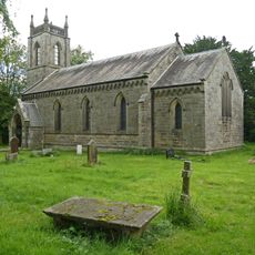
Church of St Wilfred, kerkgebouw
Locatie: Burnsall
Ontstaan: 13e eeuw
GPS-coördinaten: 54.04960,-1.95175
Laatste update: 22 maart 2025 om 12:45

Church of St Peter
1.6 km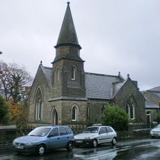
Methodist Chapel
196 m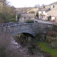
Old Bridge
1.8 km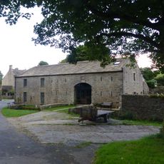
Manor House Barn And Approach Bridge
1.9 km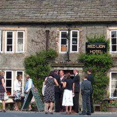
Red Lion Hotel
312 m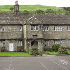
The Old Grammar School
36 m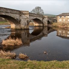
Burnsall Bridge
365 m
Stonycroft
2 km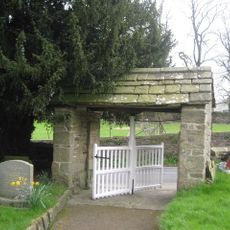
Lych Gate Approximately 30 Metres To West Of Church Of St Wilfred
45 m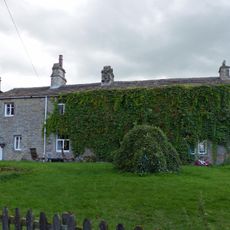
Sunnyside and Sunnybank
2 km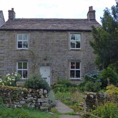
Hardcastle House
2 km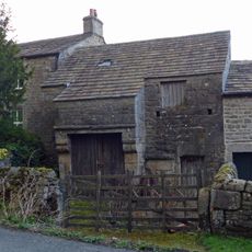
Barn and byre to east of Hardcastle House
2 km
Holly Tree Farmhouse
2 km
Bull house opposite Kail Farmhouse
2 km
Outbuilding opposite Manor House
1.9 km
Barn approximately 10 metres south of Holly Tree Farmhouse
2 km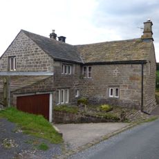
Blackburn House
2 km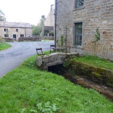
Culvert mouth, lining walls, bridge and sheepwash west of Manor House Barn
1.9 km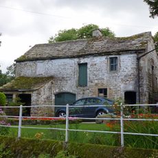
Barn and bothy range to S of Hardy Grange Farmhouse
2 km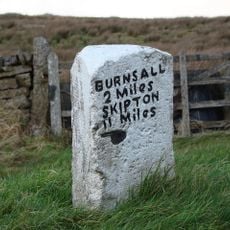
Mile Post At Junction Of B 6265 And Hartlington Raikes Road
1.9 km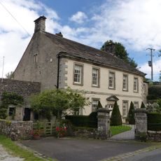
Manor house with wall and gate piers
1.9 km
Milestone At Se 0156 6320
2.4 km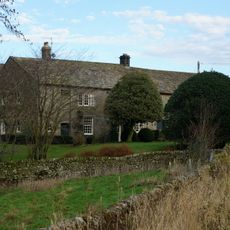
Holes Beck Farmhouse And Attached Barn
1.7 km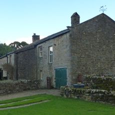
Kail Farmhouse
2 km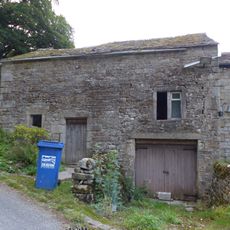
Outbuilding to west end of Hardcastle House
2 km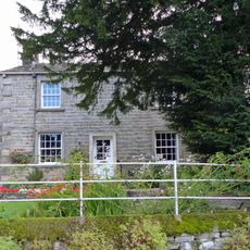
Hardy Grange Farmhouse
2 km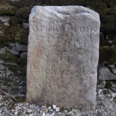
Milestone, Tinker Lane, Hebden on pre turnpike route
1.9 km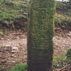
Milestone, in village on Sandybed Lane behind church northwards
2.5 kmHeeft u deze plek bezocht? Tik op de sterren om een beoordeling te geven en uw ervaring of foto's te delen met de community! Probeer het nu! U kunt het op elk moment annuleren.
Ontdek verborgen schatten op elk avontuur!
Van karakteristieke kleine cafeetjes tot geheime uitzichtpunten – ontvlucht de drukte en vind plekken die echt bij jou passen. Onze app maakt het makkelijk: spraakzoekopdrachten, slimme filters, geoptimaliseerde routes en authentieke tips van reizigers wereldwijd. Download nu en beleef het avontuur op je smartphone!

Een nieuwe benadering van toeristische ontdekking❞
— Le Figaro
Alle plekken die de moeite waard zijn om te ontdekken❞
— France Info
Een uitstapje op maat in slechts een paar klikken❞
— 20 Minutes