
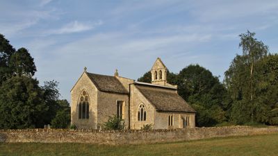
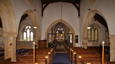
Church of St Mary, kerkgebouw
Locatie: Hampton Gay and Poyle
GPS-coördinaten: 51.83610,-1.27811
Laatste update: 4 maart 2025 om 22:22
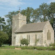
Church of St Giles
1.7 km
Church of St Mary
723 m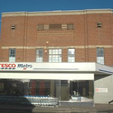
Sterling Cinema
1.5 km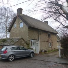
86 and 88, Church Street
786 m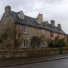
74 and 76, Church Street
799 m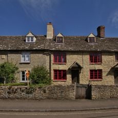
78, Church Street
788 m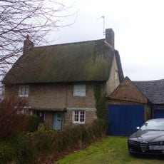
82 and 84, Church Street
797 m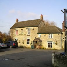
The Boat Public House
1.8 km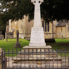
Kidlington and Hamlets War Memorial
765 m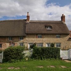
Thrupp Yard Cottages and attched outbuilding
1.5 km
Shipton Lift Bridge (219) Sp 4850 1675, Oxford Canal
1.8 km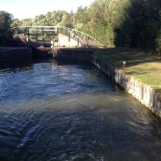
Bridge At Shipton Weir Lock, Oxford Canal
1.8 km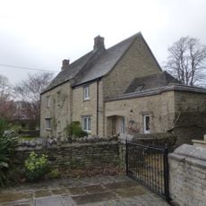
Old Priest's House
762 m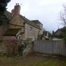
The Old Manor House
289 m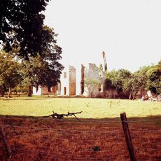
Ruins of Manor House
1.6 km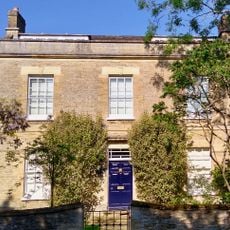
Exeter House
1.9 km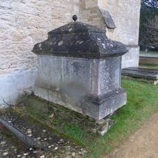
Chest tomb approximately 1/2 metre west of Church of St Mary
732 m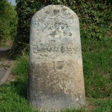
Milestone On Banbury Road, Kidlington
1.6 km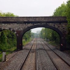
Railway Bridge At Sp 4832 1529
1.5 km
Manor Farmhouse
1.4 km
Morton Almshouses
763 m
Poyle Court
322 m
Model Farmhouse
459 m
Manor Farmhouse
91 m
Dovecote and granary approximately 15 metres east of Manor Farmhouse
1.7 km
Outbuilding approximately 5 metres north west of Manor Farmhouse
87 m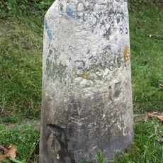
Milestone, Banbury Road; by No.118 & 120
1.6 km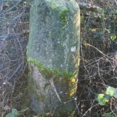
Milestone, Islip Road; between Diamond Farm and Bletchingdon
2.1 kmHeeft u deze plek bezocht? Tik op de sterren om een beoordeling te geven en uw ervaring of foto's te delen met de community! Probeer het nu! U kunt het op elk moment annuleren.
Ontdek verborgen schatten op elk avontuur!
Van karakteristieke kleine cafeetjes tot geheime uitzichtpunten – ontvlucht de drukte en vind plekken die echt bij jou passen. Onze app maakt het makkelijk: spraakzoekopdrachten, slimme filters, geoptimaliseerde routes en authentieke tips van reizigers wereldwijd. Download nu en beleef het avontuur op je smartphone!

Een nieuwe benadering van toeristische ontdekking❞
— Le Figaro
Alle plekken die de moeite waard zijn om te ontdekken❞
— France Info
Een uitstapje op maat in slechts een paar klikken❞
— 20 Minutes