
Church of All Saints, kerkgebouw
Locatie: Rotherfield Peppard
GPS-coördinaten: 51.52800,-0.97261
Laatste update: 12 maart 2025 om 18:01

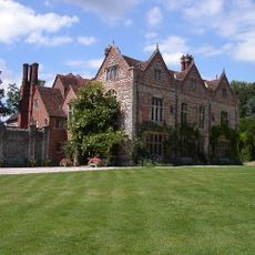
Greys Court
2.2 km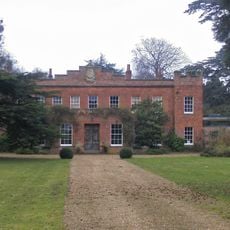
Crowsley Park
2.2 km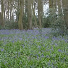
Lambridge Wood
3.7 km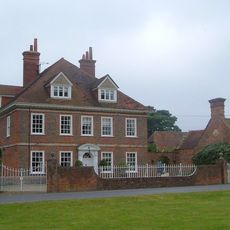
Kidmore House
2.9 km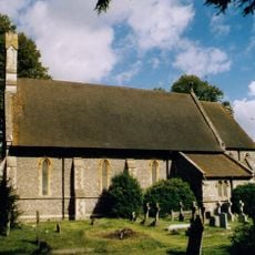
Church of St John the Baptist, Kidmore End
2.7 km
Bellehatch Park House
3.7 km
The Fox Public House
4 km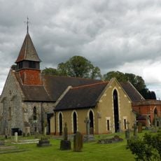
Church of St Nicholas, Rotherfield Greys
1.5 km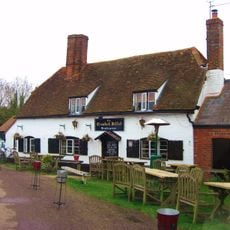
The Crooked Billet Public House
4.1 km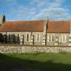
Church of St James
4 km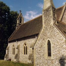
Church of St Paul
3.1 km
Stoke Row Independent Chapel
3.9 km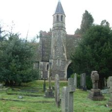
Henley Cemetery Church Of England Chapel
4.2 km
Middle Lodge In Friar Park
4.2 km
The Church of Christ the King
1.2 km
Lawrences Farmhouse
3.3 km
The Bottle And Glass Public House
3.7 km
Brawns Farmhouse
3.6 km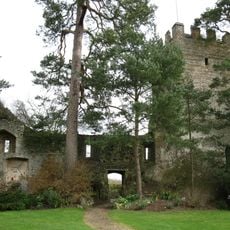
Greys Court, Great Tower, Attached Ruined Tower And Walls Approximately 60 Metres East
2.3 km
Bromsden Farmhouse, Barn Approximately 20 Metres West
2.9 km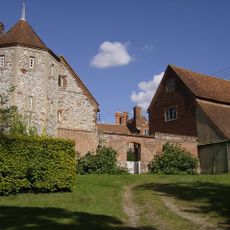
Greys Court Well House
2.2 km
Greys Court, The Keep
2.2 km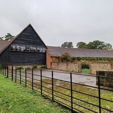
Bromsden Farmhouse, Barn Approximately 40 Metres South
2.9 km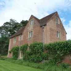
Greys Court, Cromwellian Stables Approximately 40 Metres East
2.2 km
Greys Court, Dower House
2.2 km
Bromsden Farmhouse
2.9 km
Bix Manor, Barn Approximately 40 Metres South
3.7 km
Bix Manor
3.8 kmHeeft u deze plek bezocht? Tik op de sterren om een beoordeling te geven en uw ervaring of foto's te delen met de community! Probeer het nu! U kunt het op elk moment annuleren.
Ontdek verborgen schatten op elk avontuur!
Van karakteristieke kleine cafeetjes tot geheime uitzichtpunten – ontvlucht de drukte en vind plekken die echt bij jou passen. Onze app maakt het makkelijk: spraakzoekopdrachten, slimme filters, geoptimaliseerde routes en authentieke tips van reizigers wereldwijd. Download nu en beleef het avontuur op je smartphone!

Een nieuwe benadering van toeristische ontdekking❞
— Le Figaro
Alle plekken die de moeite waard zijn om te ontdekken❞
— France Info
Een uitstapje op maat in slechts een paar klikken❞
— 20 Minutes