
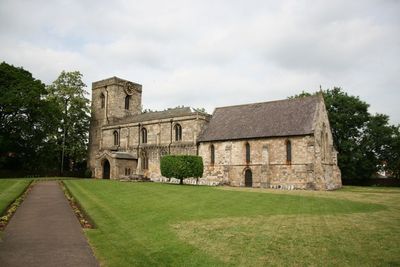
Church of St Oswald, kerkgebouw
Locatie: Crowle and Ealand
Ontstaan: 12e eeuw
GPS-coördinaten: 53.60780,-0.83540
Laatste update: 7 maart 2025 om 17:44
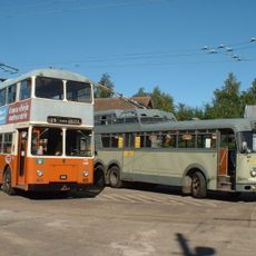
The Trolleybus Museum at Sandtoft
5.3 km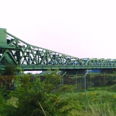
Keadby Bridge
7.3 km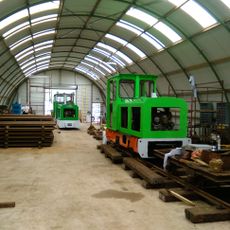
Crowle Peatland Railway
1.7 km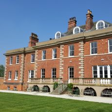
Hirst Priory
2.9 km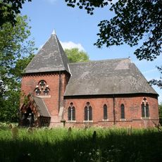
St John the Baptist's Church, Burringham
7.3 km
Belshaw
7 km
The Trolleybus Museum
5.4 km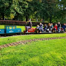
Thorne Memorial Park Miniature Railway
8.4 km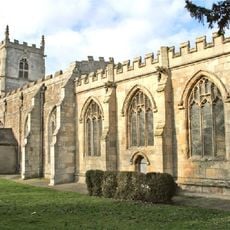
Church of St Oswald
7.2 km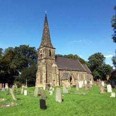
Church of St Mark
8.4 km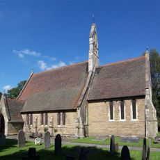
Church of Saint Bartholomew
5 km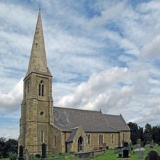
Church of Saint Oswald
7.6 km
Church of All Saints
6.8 km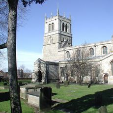
Church of St Nicholas
8.2 km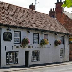
White Hart Inn
267 m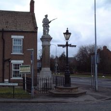
Belton War Memorial
5.8 km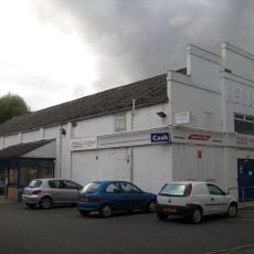
Regal Cinema
137 m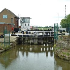
Keadby Lock
6.5 km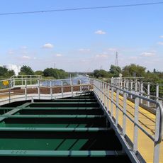
Vazon Sliding Railway Bridge
5.6 km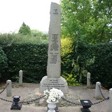
Althorpe War Memorial
7.1 km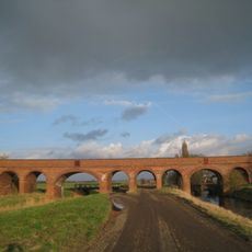
Folly Drain Viaduct
3.7 km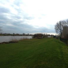
Windmill Tower At Mill Farm
9.1 km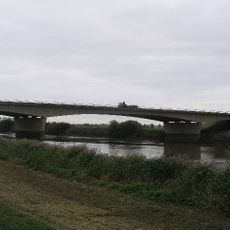
M180 Trent Bridge
8.2 km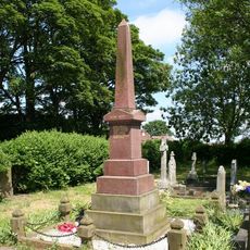
Burringham and Gunness with Neap House War Memorial
7.3 km
Amcotts War Memorial
8.5 km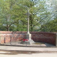
Eastoft War Memorial
4.7 km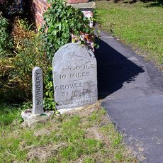
Milestone, ExYW at jct with B1392, in front of house opp. PH
4.6 km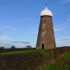
Maw's Mill Approximately 275 Metres North East Of Number 34/36 (Field House Farmhouse)
8.3 kmHeeft u deze plek bezocht? Tik op de sterren om een beoordeling te geven en uw ervaring of foto's te delen met de community! Probeer het nu! U kunt het op elk moment annuleren.
Ontdek verborgen schatten op elk avontuur!
Van karakteristieke kleine cafeetjes tot geheime uitzichtpunten – ontvlucht de drukte en vind plekken die echt bij jou passen. Onze app maakt het makkelijk: spraakzoekopdrachten, slimme filters, geoptimaliseerde routes en authentieke tips van reizigers wereldwijd. Download nu en beleef het avontuur op je smartphone!

Een nieuwe benadering van toeristische ontdekking❞
— Le Figaro
Alle plekken die de moeite waard zijn om te ontdekken❞
— France Info
Een uitstapje op maat in slechts een paar klikken❞
— 20 Minutes