
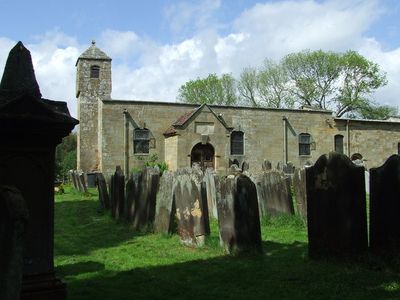
Church of St Andrew, kerkgebouw
Locatie: Ingleby Greenhow
Ontstaan: 12e eeuw
GPS-coördinaten: 54.44860,-1.10564
Laatste update: 2 maart 2025 om 23:59

Easby Hall
2.5 km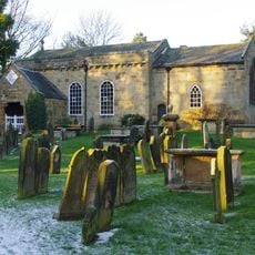
Church of All Saints
5.2 km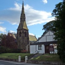
Christ Church
5.2 km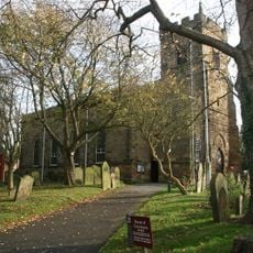
Church of St Peter and St Paul
6 km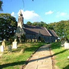
Church of St Hilda
5.7 km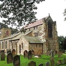
Church of St Augustine
4.3 km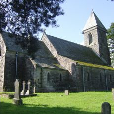
St Cuthbert's Church
4 km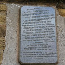
Captain Cook Monument
3.9 km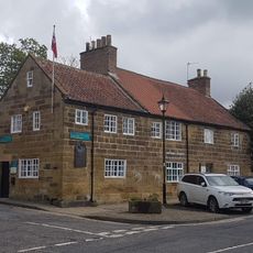
Captain Cook's Schoolroom
4.8 km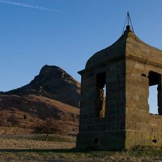
The Shooting Box At Roseberry Topping
6.1 km
Wayside cross known as Jenny Bradley 1000m north west of Bloworth Crossing on Greenhow Moor
5 km
Great Ayton Discovery Centre
4.8 km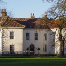
Ayton Hall
5.2 km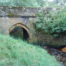
Baysdale Abbey Bridge
4 km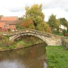
Pack Horse Bridge
6.1 km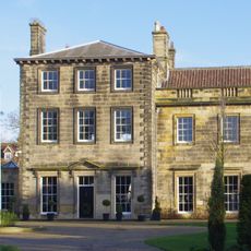
Manor House and Wall Adjoining
6 km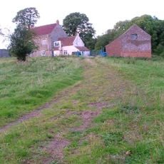
Meynell Hall
1.7 km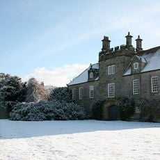
Ingleby Manor
691 m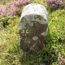
Boundary Stone West Of Path To Captain Cook Monument
4.1 km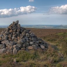
Round barrow at Drake Howe
5.5 km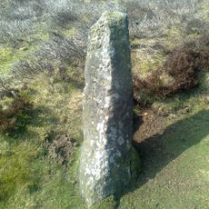
Bloworth Guidestone
6 km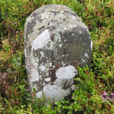
Boundary Stone East Of Path To Captain Cook Monument
4.2 km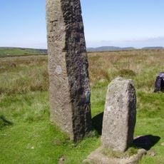
Jenny Bradley Stone
5 km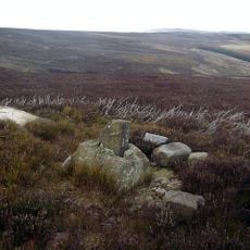
Wayside cross known as Baysdale Cross on Middle Head Intake 1000m south west of Baysdale Abbey
3.6 km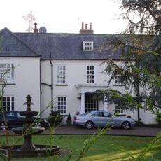
The Old Rectory
5.8 km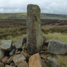
Burton Howe round barrow
4.1 km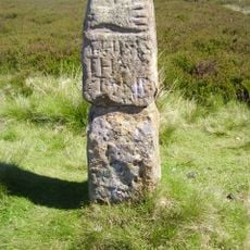
Guidestone, The Hand Stone, Round Hill, Urra Moor
5 km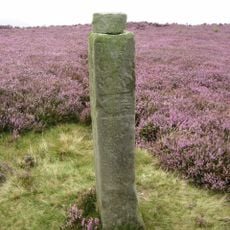
Guidestone, Handstone, Ingleby Moor, Greenhow Bank
3.1 kmBeoordelingen
Heeft u deze plek bezocht? Tik op de sterren om een beoordeling te geven en uw ervaring of foto's te delen met de community! Probeer het nu! U kunt het op elk moment annuleren.
Ontdek verborgen schatten op elk avontuur!
Van karakteristieke kleine cafeetjes tot geheime uitzichtpunten – ontvlucht de drukte en vind plekken die echt bij jou passen. Onze app maakt het makkelijk: spraakzoekopdrachten, slimme filters, geoptimaliseerde routes en authentieke tips van reizigers wereldwijd. Download nu en beleef het avontuur op je smartphone!

Een nieuwe benadering van toeristische ontdekking❞
— Le Figaro
Alle plekken die de moeite waard zijn om te ontdekken❞
— France Info
Een uitstapje op maat in slechts een paar klikken❞
— 20 Minutes