
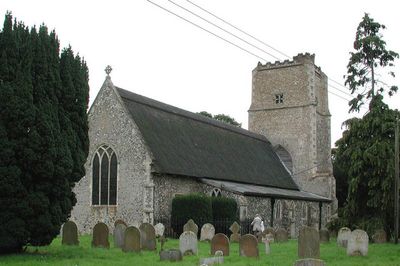
Church of All Saints, kerkgebouw
Locatie: Salhouse
Ontstaan: 14e eeuw
GPS-coördinaten: 52.68350,1.40638
Laatste update: 8 maart 2025 om 16:32
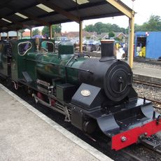
Bure Valley Railway
3.7 km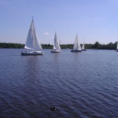
Wroxham Broad
1.9 km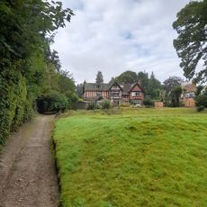
Barton House Railway
2.8 km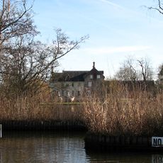
Woodbastwick Hall
2.6 km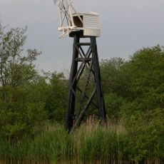
Hobb's Mill
4.6 km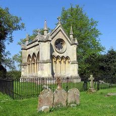
Trafford Mausoleum, St Mary's Churchyard
2.7 km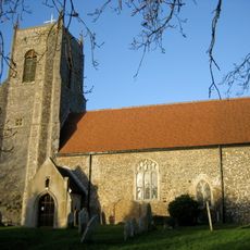
Church of St Peter
3.7 km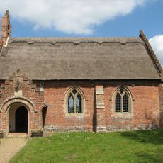
Church of St Peter
4.7 km
Church of St Mary
2.7 km
Church of St John
3.2 km
Parish Church of St Peter
4.6 km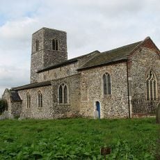
Church of All Saints, Rackheath
3.3 km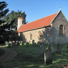
Church of St Gervase and Protase
4.1 km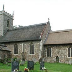
Church of St Fabian and St Sebastian
2.9 km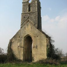
Ruined Church of All Saints
4.6 km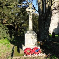
Salhouse War Memorial
47 m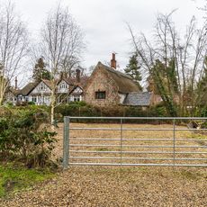
Rivercroft Cottage
2.5 km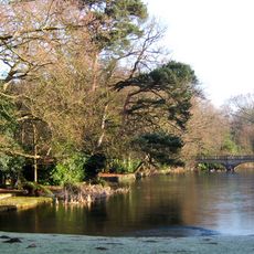
Bridge Approximately 100 Metres North East Of Rackheath Hall
3.6 km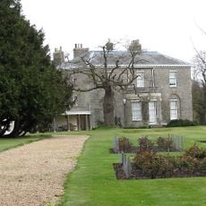
Hoveton House
3.1 km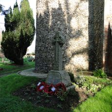
Little Plumstead War Memorial
4.1 km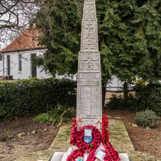
Wroxham War Memorial
2.6 km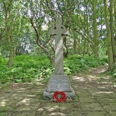
Crostwick and Beeston St Andrew War Memorial
4.8 km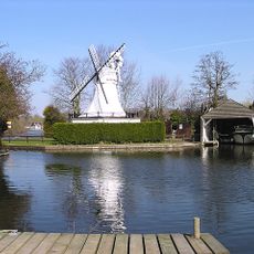
Horning Ferry Mill
4.5 km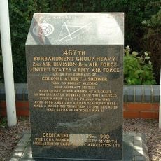
467th Bombardment Group USAAF memorial, RAF Rackheath
2.3 km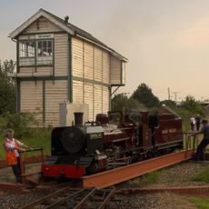
Wroxham Signal Box
3.7 km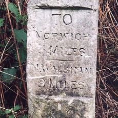
Milestone, Halfway between drive to Hill House and road materials store
4.7 km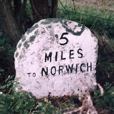
Milestone, Wroxham Road, 200yds S of layby
1.9 km
Milestone, Norwich Road, by No. 58
3 kmHeeft u deze plek bezocht? Tik op de sterren om een beoordeling te geven en uw ervaring of foto's te delen met de community! Probeer het nu! U kunt het op elk moment annuleren.
Ontdek verborgen schatten op elk avontuur!
Van karakteristieke kleine cafeetjes tot geheime uitzichtpunten – ontvlucht de drukte en vind plekken die echt bij jou passen. Onze app maakt het makkelijk: spraakzoekopdrachten, slimme filters, geoptimaliseerde routes en authentieke tips van reizigers wereldwijd. Download nu en beleef het avontuur op je smartphone!

Een nieuwe benadering van toeristische ontdekking❞
— Le Figaro
Alle plekken die de moeite waard zijn om te ontdekken❞
— France Info
Een uitstapje op maat in slechts een paar klikken❞
— 20 Minutes