
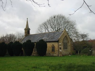
Church of St Mary, kerkgebouw
Locatie: Pilsdon
Ontstaan: 14e eeuw
GPS-coördinaten: 50.79260,-2.83179
Laatste update: 5 maart 2025 om 09:47
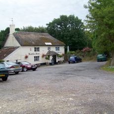
The Bottle Inn
3.7 km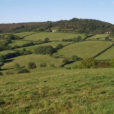
Lambert's Castle
4.3 km
Church of St Candida and Holy Cross, Whitchurch Canonicorum
4.5 km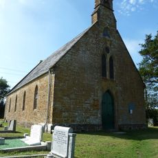
Broadoak Church
4.1 km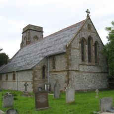
St Mary's Church
3.2 km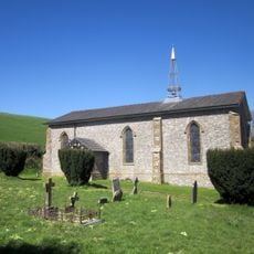
Holy Trinity
4 km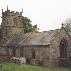
Parish Church of St Andrew
3.4 km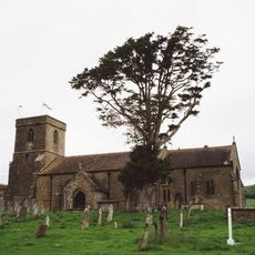
Parish Church of St Mary
4 km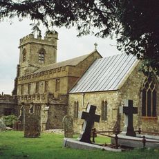
Parish Church of St John the Baptist
3.9 km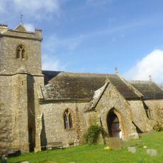
Church of St Stephen
1.6 km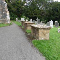
5 table tombs circa 5 metres south and west of parish church
4.5 km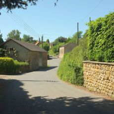
Congregational Chapel
3.9 km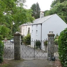
Church House
4.6 km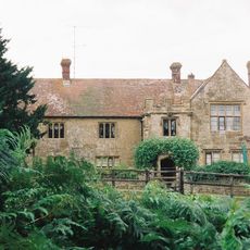
Childhay Manor Farmhouse
4.5 km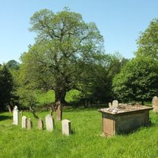
One Table Tomb 15 Metres South East Of Chancel, (Welman)
4 km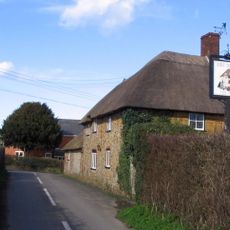
Shave Cross, Public House
1.6 km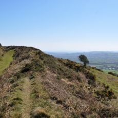
Pilsdon Pen hillfort and associated remains
1.7 km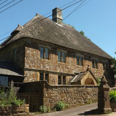
Court Orchard
4 km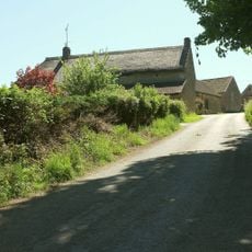
Brimley Farmhouse
3.2 km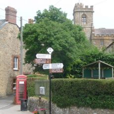
K6 Telephone Kiosk, Church Path
3.8 km
Nash Farmhouse
3.9 km
Strongate Farmhouse
4.3 km
Dunster Farmhouse
3 km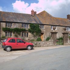
Manor Farmhouse and Attached Front Wall and Gate Piers
3.5 km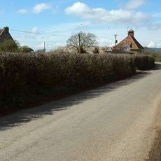
New House Farmhouse
2.8 km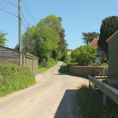
Blackney Farmhouse
1.6 km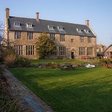
Pilsdon Manor (the Pilsdon Community)
54 m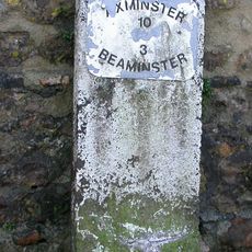
Milestone, 100m from junction with B3162 by shop and pub
3.7 kmHeeft u deze plek bezocht? Tik op de sterren om een beoordeling te geven en uw ervaring of foto's te delen met de community! Probeer het nu! U kunt het op elk moment annuleren.
Ontdek verborgen schatten op elk avontuur!
Van karakteristieke kleine cafeetjes tot geheime uitzichtpunten – ontvlucht de drukte en vind plekken die echt bij jou passen. Onze app maakt het makkelijk: spraakzoekopdrachten, slimme filters, geoptimaliseerde routes en authentieke tips van reizigers wereldwijd. Download nu en beleef het avontuur op je smartphone!

Een nieuwe benadering van toeristische ontdekking❞
— Le Figaro
Alle plekken die de moeite waard zijn om te ontdekken❞
— France Info
Een uitstapje op maat in slechts een paar klikken❞
— 20 Minutes