
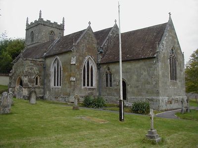
Church of St Mary, kerkgebouw
Locatie: Iwerne Courtney or Shroton
Ontstaan: 14e eeuw
GPS-coördinaten: 50.91110,-2.20066
Laatste update: 9 maart 2025 om 10:04
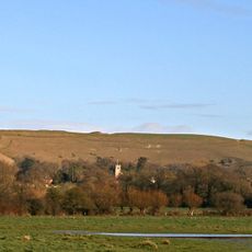
Hambledon Hill
1.5 km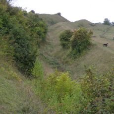
Hod Hill
1.7 km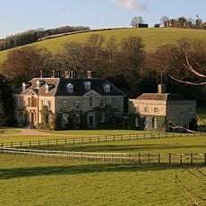
Stepleton House
1.2 km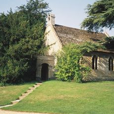
Church of St Michael and All Angels
1.9 km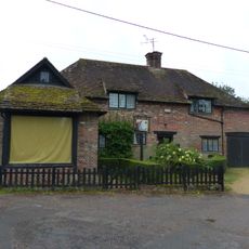
Sunnyside and attached shop
2 km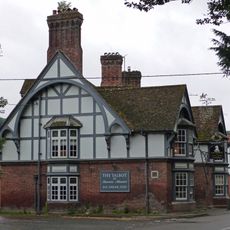
The Talbot at Iwerne Minster
2 km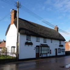
The Post Office
200 m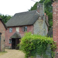
Sunnyside Cottage
2 km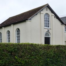
Abingdon Memorial Hall
2.1 km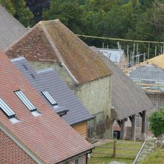
Dovecote and attached open shelter building 60m south-west Of Church Farmhouse
57 m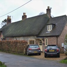
Pair of cottages approximately 5 m east of Sunnyside
2 km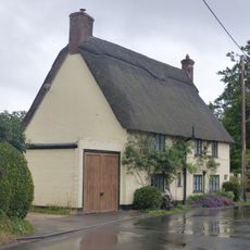
Hobnail Cottage
389 m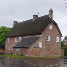
23 and 25 The Cross
479 m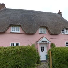
Larks Rise
949 m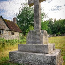
Shroton and Stepleton War Memorial
32 m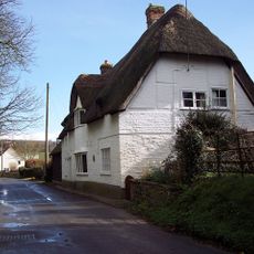
Thatched Cottage
542 m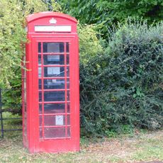
K6 Telephone Kiosk
2 km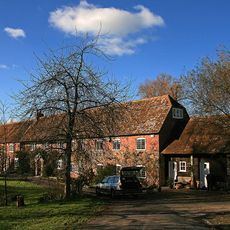
Oyles Mill and Mill House
1.3 km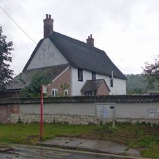
Hellum Farmhouse
456 m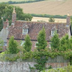
Church Farmhouse
132 m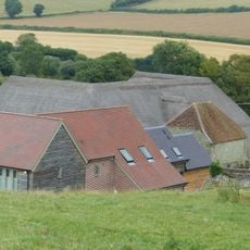
Barn 20m south of Church Farmhouse
68 m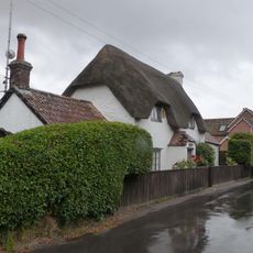
Littleport
303 m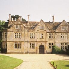
Hanford House
2 km
Hod Hill camp and Lydsbury Rings
1.8 km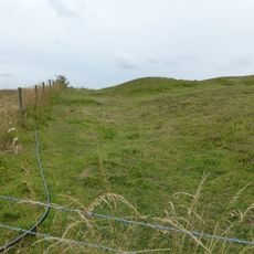
Causewayed camp on Hambledon Hill
1.1 km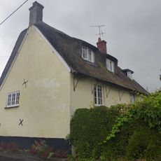
Little Grange
422 m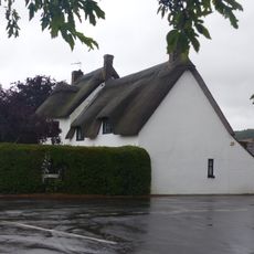
Fourways
503 m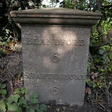
Milepost, S of village, 50m S of 30mph signs
1.5 kmHeeft u deze plek bezocht? Tik op de sterren om een beoordeling te geven en uw ervaring of foto's te delen met de community! Probeer het nu! U kunt het op elk moment annuleren.
Ontdek verborgen schatten op elk avontuur!
Van karakteristieke kleine cafeetjes tot geheime uitzichtpunten – ontvlucht de drukte en vind plekken die echt bij jou passen. Onze app maakt het makkelijk: spraakzoekopdrachten, slimme filters, geoptimaliseerde routes en authentieke tips van reizigers wereldwijd. Download nu en beleef het avontuur op je smartphone!

Een nieuwe benadering van toeristische ontdekking❞
— Le Figaro
Alle plekken die de moeite waard zijn om te ontdekken❞
— France Info
Een uitstapje op maat in slechts een paar klikken❞
— 20 Minutes