
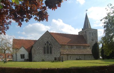
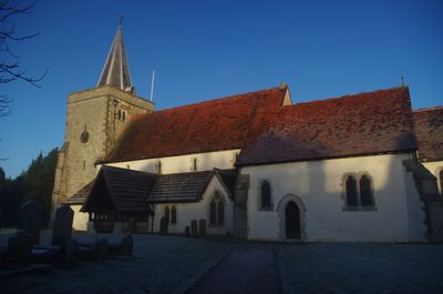
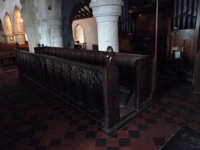
Church of the Holy Cross, kerkgebouw
Locatie: Binsted
Ontstaan: 12e eeuw
GPS-coördinaten: 51.16250,-0.89817
Laatste update: 4 maart 2025 om 12:32

Pax Hill
3.3 km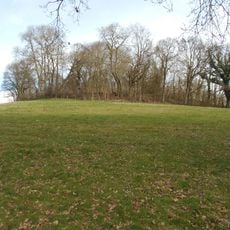
Hillfort on King John's Hill
3.6 km
Alice Holt Research Station
3.7 km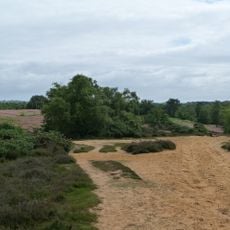
Kingsley Common
3.5 km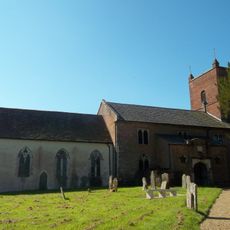
Church of St Mary of the Assumption
2.5 km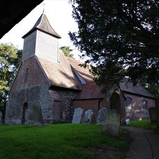
Church of St Nicholas
3.2 km
Church of All Saints
3.2 km
Holy Rood Church
3.9 km
Church of St Mary
3.5 km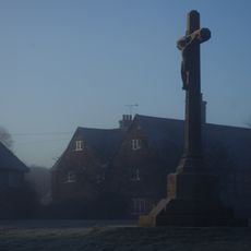
Binsted War Memorial
26 m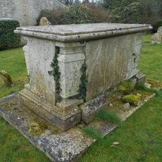
Table Tomb 10 Metres South-East Of The Church Of St Mary
3.5 km
Coldrey
2.8 km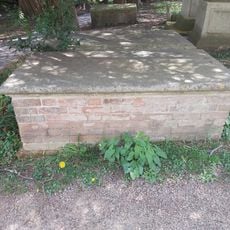
Table Tomb 6 Metres South Of St Mary's Church (Nave)
4 km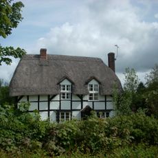
Fern Cottage
2.6 km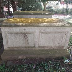
Table Tomb 10 Metres South Of St Mary's Church (Nave)
3.9 km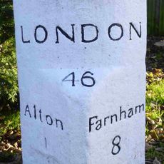
Milestone
3.9 km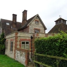
Clay's Farmhouse
3.2 km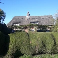
The Thatched Cottage
1.9 km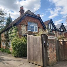
Jenkyn Place
3.7 km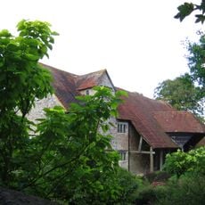
Barn 30 Metres South Of Mill Court
1.6 km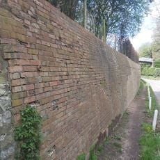
Boundary Wall East Of Jenkyn Place
3.7 km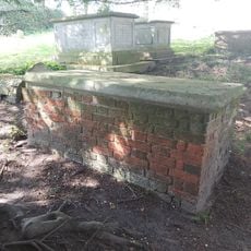
Table Tomb 15 Metres South Of St Mary's Church (Nave)
3.9 km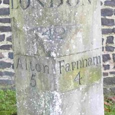
Milestone
3.4 km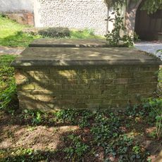
Table Tomb 7 Metres South Of St Mary's Church (Nave)
3.9 km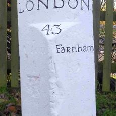
Milestone 120 Metres East Of Junction With Isington Lane
2.4 km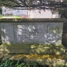
Table Tomb 12 Metres South Of St Mary's Church (Nave)
3.9 km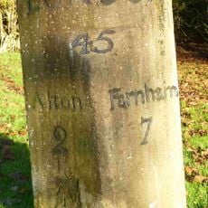
Bonham's Milestone
2.8 km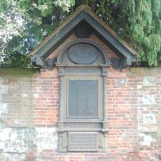
Holybourne WWI Memorial
3.8 kmHeeft u deze plek bezocht? Tik op de sterren om een beoordeling te geven en uw ervaring of foto's te delen met de community! Probeer het nu! U kunt het op elk moment annuleren.
Ontdek verborgen schatten op elk avontuur!
Van karakteristieke kleine cafeetjes tot geheime uitzichtpunten – ontvlucht de drukte en vind plekken die echt bij jou passen. Onze app maakt het makkelijk: spraakzoekopdrachten, slimme filters, geoptimaliseerde routes en authentieke tips van reizigers wereldwijd. Download nu en beleef het avontuur op je smartphone!

Een nieuwe benadering van toeristische ontdekking❞
— Le Figaro
Alle plekken die de moeite waard zijn om te ontdekken❞
— France Info
Een uitstapje op maat in slechts een paar klikken❞
— 20 Minutes