
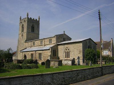
Church of St John the Baptist, kerkgebouw
Locatie: Northorpe
Ontstaan: 12e eeuw
GPS-coördinaten: 53.46360,-0.65383
Laatste update: 5 april 2025 om 02:54
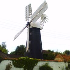
Mount Pleasant Mill
5 km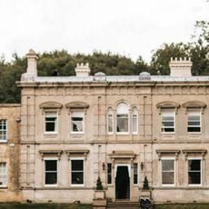
Cleatham Hall
5.9 km
St Andrew's Church, Redbourne
8.3 km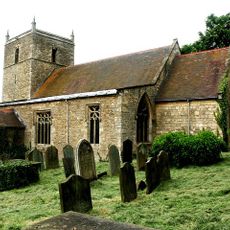
St Chad's Church, Harpswell
8.3 km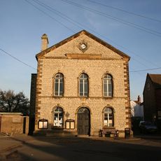
Town Hall
4.6 km
Church of St Lawrence and St George
7.6 km
Church of St Genwys
2 km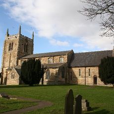
Church of St Andrew
4.2 km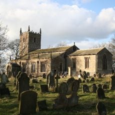
Church of the Holy Trinity
7.7 km
Church of St Peter
3.7 km
Church of St Lawrence
6 km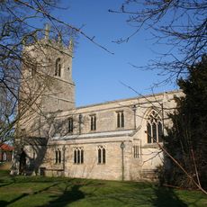
Church of All Saints
4.6 km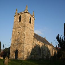
Church of All Saints
7.2 km
Church of St Hybald
6.8 km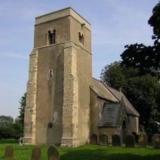
Church of All Saints
8.8 km
Church of St Radegund
4.2 km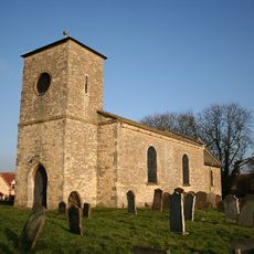
Church of St Andrew
5.3 km
Church of All Saints
4.7 km
Church of Saint Alkmund
4.7 km
Church of Saint Martin
4.8 km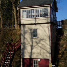
Kirton Lime Sidings Signal Box
7 km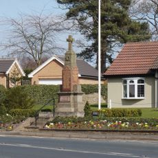
Messingham War Memorial
7.5 km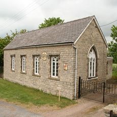
Village Hall
32 m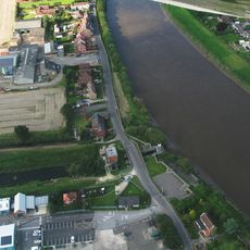
Sluice And Road Bridge At Outfall Of Snow Sewer/Warping Drain Into The River Trent
8.4 km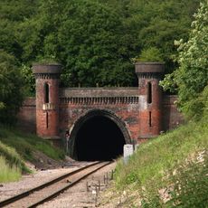
Kirton Railway Tunnel Entrance
5.2 km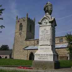
Northorpe War Memorial
29 m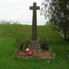
East Ferry War Memorial
8.2 km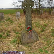
Wildsworth War Memorial
8.7 kmHeeft u deze plek bezocht? Tik op de sterren om een beoordeling te geven en uw ervaring of foto's te delen met de community! Probeer het nu! U kunt het op elk moment annuleren.
Ontdek verborgen schatten op elk avontuur!
Van karakteristieke kleine cafeetjes tot geheime uitzichtpunten – ontvlucht de drukte en vind plekken die echt bij jou passen. Onze app maakt het makkelijk: spraakzoekopdrachten, slimme filters, geoptimaliseerde routes en authentieke tips van reizigers wereldwijd. Download nu en beleef het avontuur op je smartphone!

Een nieuwe benadering van toeristische ontdekking❞
— Le Figaro
Alle plekken die de moeite waard zijn om te ontdekken❞
— France Info
Een uitstapje op maat in slechts een paar klikken❞
— 20 Minutes