
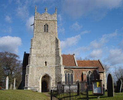
Church of St Mary, kerkgebouw
Locatie: Newbourne
Ontstaan: 12e eeuw
GPS-coördinaten: 52.03930,1.31277
Laatste update: 2 maart 2025 om 23:59
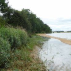
Ramsholt Cliff
2.5 km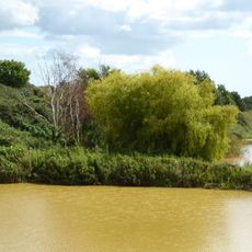
Waldringfield Pit
2.1 km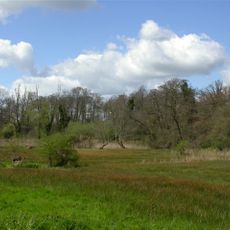
Newbourne Springs
571 m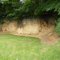
Rockhall Wood Pit, Sutton
3.2 km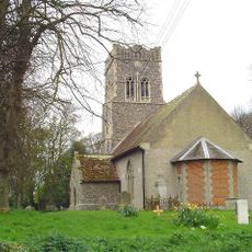
Church of St Ethelbert
4.5 km
Church of St Mary
4 km
Church of All Saints
1.4 km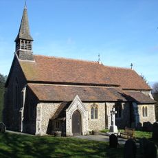
Church of St Mary
3 km
Church of All Saints
3.5 km
Church of St John the Baptist
2.4 km
Church of All Saints
1.5 km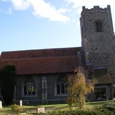
Church of St Mary and St Martin
3.4 km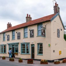
The White Horse, Kirton
3.4 km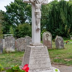
Bucklesham War Memorial
3 km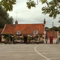
The Fox, Newbourne
112 m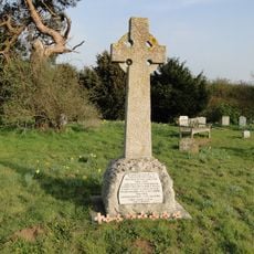
Ramsholt War Memorial
3.5 km
The Forge
3.4 km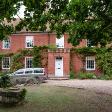
Manor House
3 km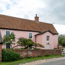
Hill Farmhouse
1.9 km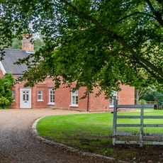
The Old Rectory
3 km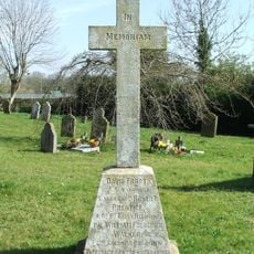
Newbourne War Memorial
23 m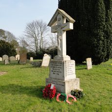
Kirton War Memorial
3.5 km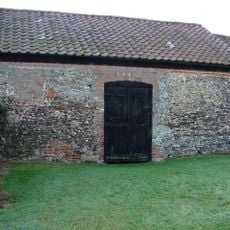
All Saints Church
4.4 km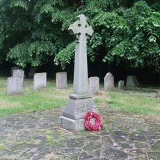
Martlesham War Memorial
4 km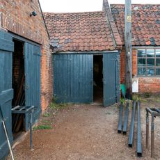
Smithy House
3.4 km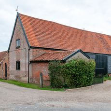
Barn, 30 Metres East Of Hill Farmhouse
1.8 km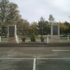
RAF Martlesham Heath Memorial
3.1 km
Milepost, near Red Lion PH
4.6 kmHeeft u deze plek bezocht? Tik op de sterren om een beoordeling te geven en uw ervaring of foto's te delen met de community! Probeer het nu! U kunt het op elk moment annuleren.
Ontdek verborgen schatten op elk avontuur!
Van karakteristieke kleine cafeetjes tot geheime uitzichtpunten – ontvlucht de drukte en vind plekken die echt bij jou passen. Onze app maakt het makkelijk: spraakzoekopdrachten, slimme filters, geoptimaliseerde routes en authentieke tips van reizigers wereldwijd. Download nu en beleef het avontuur op je smartphone!

Een nieuwe benadering van toeristische ontdekking❞
— Le Figaro
Alle plekken die de moeite waard zijn om te ontdekken❞
— France Info
Een uitstapje op maat in slechts een paar klikken❞
— 20 Minutes