
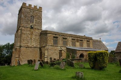
Church of St Michael, kerkgebouw
Locatie: Whichford
Ontstaan: 12e eeuw
GPS-coördinaten: 52.00950,-1.54678
Laatste update: 5 maart 2025 om 13:31

Rollright Stones
4.1 km
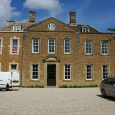
Whichford House
49 m
Chipping Norton Limestone
3.8 km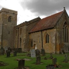
St Thomas a Becket Church
3.1 km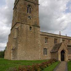
Church of St John the Baptist
2.8 km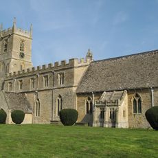
Church of St Peter and St Paul
2.9 km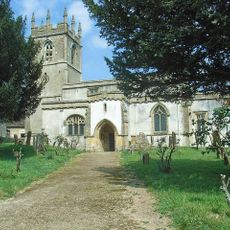
Church of St Andrew
3.5 km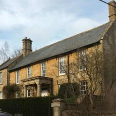
Church End House
3.5 km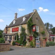
Cherington Arms Public House
2.9 km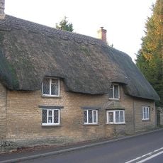
Stone Walls Toll Cottage
2.8 km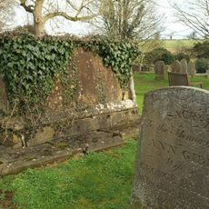
Timms Memorial Approximately 10 Metres South East Of Church Of St Andrew
3.5 km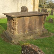
Harbiage Memorial Approximately 10 Metres South Of Chancel Of Church Of St Andrew
3.5 km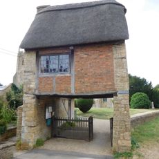
The Lychgate
3 km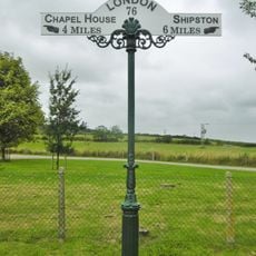
Milepost at SP 28830 32534
3.2 km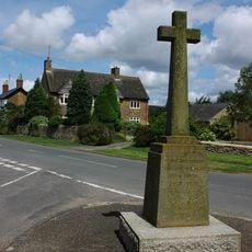
Whichford War Memorial
241 m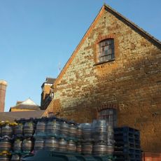
Malthouse At Hook Norton Brewery
3.9 km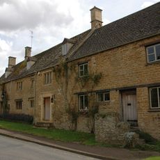
The Old Red Lion
2.7 km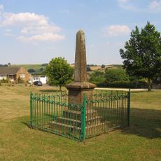
Sutton-under-Brailes War Memorial
2.9 km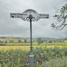
Milepost at SP 28003 33503
3.4 km
Churchyard Cross And 2 Tombs Approximately 8 Metres South Pf South Aisle Of Church Of St Andrew
3.5 km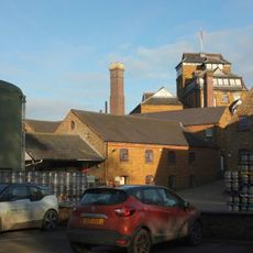
Office Block At Hook Nortomn Brewery
3.9 km
Petra
4.3 km
Marrie Mount
4 km
Village Cross
3.1 km
Milestone, Great Rollright; 150m S of Manor Farm, opp. lay-by
4.1 km
Milepost, North of Long Compton
3.4 km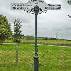
Milepost, Next to village hall
3.2 kmHeeft u deze plek bezocht? Tik op de sterren om een beoordeling te geven en uw ervaring of foto's te delen met de community! Probeer het nu! U kunt het op elk moment annuleren.
Ontdek verborgen schatten op elk avontuur!
Van karakteristieke kleine cafeetjes tot geheime uitzichtpunten – ontvlucht de drukte en vind plekken die echt bij jou passen. Onze app maakt het makkelijk: spraakzoekopdrachten, slimme filters, geoptimaliseerde routes en authentieke tips van reizigers wereldwijd. Download nu en beleef het avontuur op je smartphone!

Een nieuwe benadering van toeristische ontdekking❞
— Le Figaro
Alle plekken die de moeite waard zijn om te ontdekken❞
— France Info
Een uitstapje op maat in slechts een paar klikken❞
— 20 Minutes