
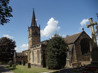
Church of All Saints, kerkgebouw
Locatie: Rotherham
Ontstaan: 12e eeuw
GPS-coördinaten: 53.50290,-1.34937
Laatste update: 3 maart 2025 om 00:11
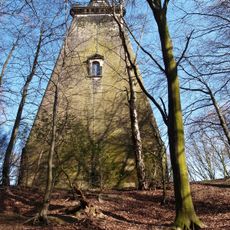
Hoober Stand
3.4 km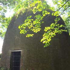
Rockingham Kiln
2.2 km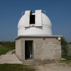
Hoober Observatory
3.2 km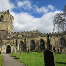
Church of All Saints
3.7 km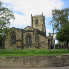
St Andrew's Church
2.8 km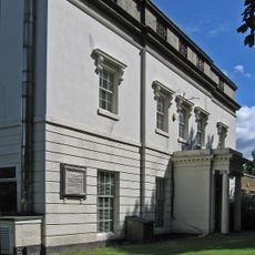
Wath Hall
58 m
Christ Church
1.1 km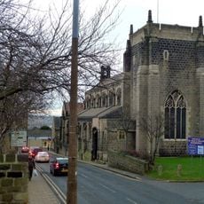
Church of St Mary
3.8 km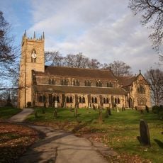
Church of St Margaret
2.5 km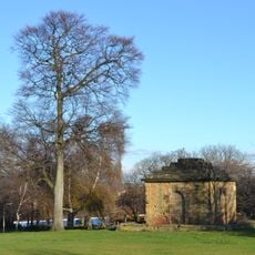
Mausoleum On East Side Of Newhill Park
670 m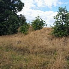
Roman Ridge: section 300yds (270m) long N of Birchwood (E of Chemical Cottages)
3 km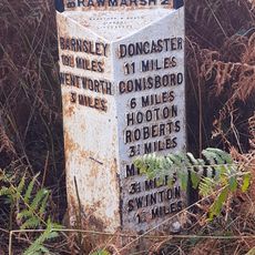
Milepost Opposite Warren House Cottage
2.9 km
Grand Cinema
439 m
Swinton House
2.8 km
Roman Ridge: section 520yds (480m) E of Dyson's Cottage to Long Plantation
3.1 km
Darfield Council Offices
3.8 km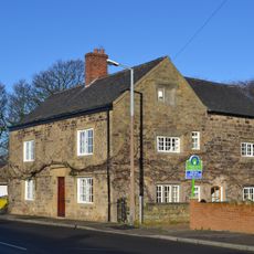
Hall Farmhouse
871 m
15, Fitzwilliam Street
2.7 km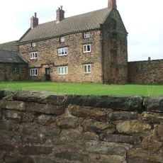
Hoober Hall
2.2 km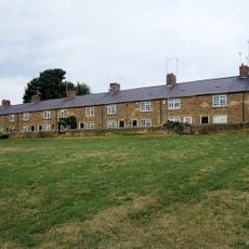
Old Row And Attached Front Garden Walls
3 km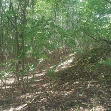
Roman Ridge: section 140yds (130m) long in Dyson's Plantation
3 km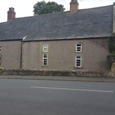
Hall Farmhouse
3.5 km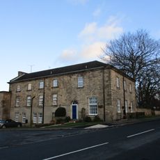
Swinton Hall
2.8 km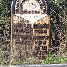
Milepost Approximately 350 Metres To East Of Junction With Warren Vale
3.2 km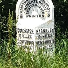
Milepost Approximately 45 Metres South West Of Junction With Abdy Lane
2.4 km
Roman Ridge: section 400yds (370m) long S of Abdy Farm
2.4 km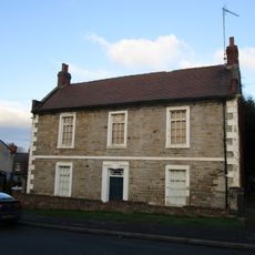
Hawthorne Farmhouse
2.7 km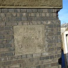
Milestone, in parapet of bridge over disused canal
3.4 kmHeeft u deze plek bezocht? Tik op de sterren om een beoordeling te geven en uw ervaring of foto's te delen met de community! Probeer het nu! U kunt het op elk moment annuleren.
Ontdek verborgen schatten op elk avontuur!
Van karakteristieke kleine cafeetjes tot geheime uitzichtpunten – ontvlucht de drukte en vind plekken die echt bij jou passen. Onze app maakt het makkelijk: spraakzoekopdrachten, slimme filters, geoptimaliseerde routes en authentieke tips van reizigers wereldwijd. Download nu en beleef het avontuur op je smartphone!

Een nieuwe benadering van toeristische ontdekking❞
— Le Figaro
Alle plekken die de moeite waard zijn om te ontdekken❞
— France Info
Een uitstapje op maat in slechts een paar klikken❞
— 20 Minutes