
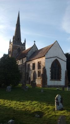
Church of All Saints, kerkgebouw
Locatie: Ladbroke
Ontstaan: 13e eeuw
GPS-coördinaten: 52.22670,-1.39610
Laatste update: 9 maart 2025 om 20:47
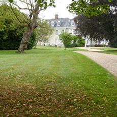
Ladbroke Hall
255 m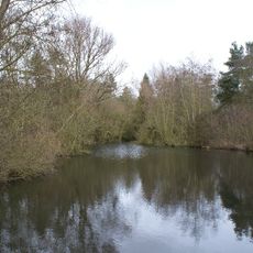
Ufton Fields
4.2 km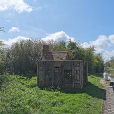
PILLBOX (TYPE FW3/26), Lock No.10 (Oxford Canal), Chapel Green, near Napton on the Hill.
4.6 km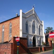
Congregational Church
3 km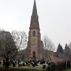
Church of St James
2.9 km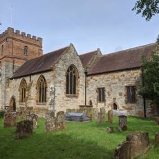
Church of All Saints
4 km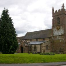
Church of St Michael
5.3 km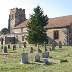
Church of St Michael
4.8 km
Church of St Michael
2.8 km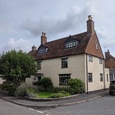
Church House
4 km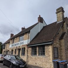
The Crown Inn
4 km
Wissett Lodge
4 km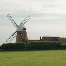
Napton Windmill
5 km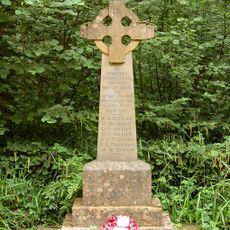
Bascote Heath And Stoneythorpe War Memorial
4.2 km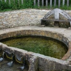
'The Holy Well'
3 km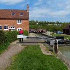
Napton Bottom Lock, Oxford Canal
4.8 km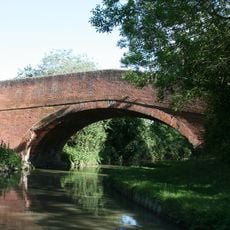
Oxford Canal, Canal Bridge Number 122
5.3 km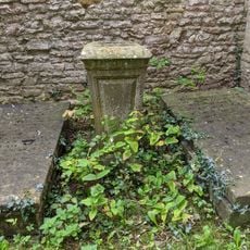
Former Font Approximately 0.5 Metres West Of Tower Of Church Of All Saints
4 km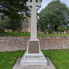
Harbury War Memorial
4 km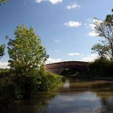
Oxford Canal Bridge Number 125
5.4 km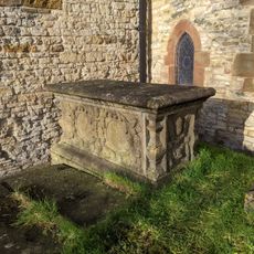
Chest Tomb Approximately 0.5 Metres East Of South Aisle Of Church Of All Saints
4 km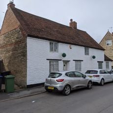
Butchers
4.2 km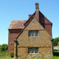
Stockwell Farmhouse
4.6 km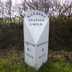
Milestone At National Grid Reference Sp 3928 5935
2.2 km
The Old Rectory
66 m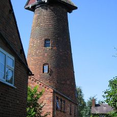
Harbury Windmill
4.3 km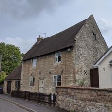
The Homestead
4 km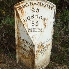
Milepost, 60m W of jct with B4452
4.1 kmHeeft u deze plek bezocht? Tik op de sterren om een beoordeling te geven en uw ervaring of foto's te delen met de community! Probeer het nu! U kunt het op elk moment annuleren.
Ontdek verborgen schatten op elk avontuur!
Van karakteristieke kleine cafeetjes tot geheime uitzichtpunten – ontvlucht de drukte en vind plekken die echt bij jou passen. Onze app maakt het makkelijk: spraakzoekopdrachten, slimme filters, geoptimaliseerde routes en authentieke tips van reizigers wereldwijd. Download nu en beleef het avontuur op je smartphone!

Een nieuwe benadering van toeristische ontdekking❞
— Le Figaro
Alle plekken die de moeite waard zijn om te ontdekken❞
— France Info
Een uitstapje op maat in slechts een paar klikken❞
— 20 Minutes