
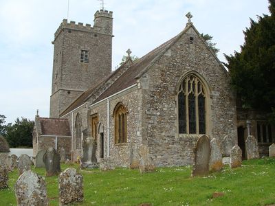
Church of St Mary, kerkgebouw
Locatie: Payhembury
Ontstaan: 15e eeuw
GPS-coördinaten: 50.80850,-3.29477
Laatste update: 4 maart 2025 om 03:28
Hembury
2.7 km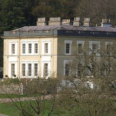
Escot House
3.7 km
Church of St James
3 km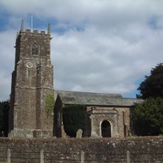
Church of St John the Baptist
3.8 km
Church of St Andrew
3.1 km
Church of St Andrew
3.2 km
Church of St Mary and St Giles
3.7 km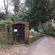
Ice House South West Of Escot Park
3.8 km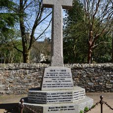
Broadhembury Parish Memorial Cross
3.2 km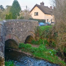
Bridge Over The River Tale South Of Bridge House
3.3 km
Kitchen Garden Walls Approximately 220 Metres West Of Escot
3.9 km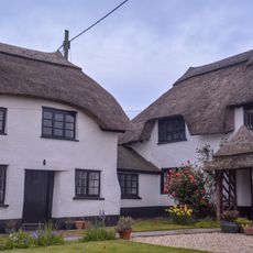
Stoney Court
3.1 km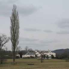
Grange
2.5 km
The Old Rectory
3.8 km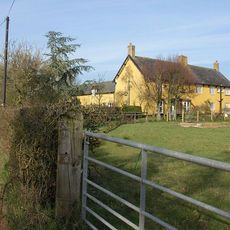
Farrants Hayes Farmhouse Including Courtyard Of Farmbuildings Adjoining To North
3.9 km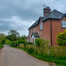
Uplands
2.3 km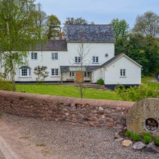
Tuck Mill
1.2 km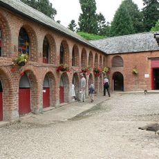
Coach House, Stables And Servant Cottages Approximately 140 Metres South West Of Escot
3.9 km
Lees Farmhouse
3.1 km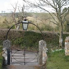
Churchyard Wall And 2 Pairs Of Gates
3.7 km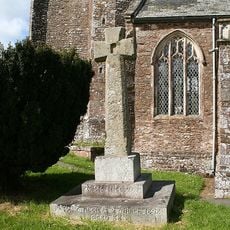
Churchyard Cross
3.9 km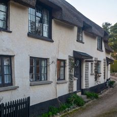
Engelwood Firs
3.3 km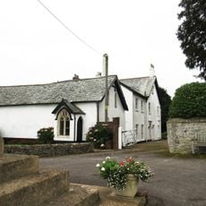
The Old Sunday School
3.8 km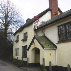
The Drewe Arms Including Curved Wall Adjoining At North West
3.2 km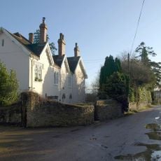
Buckerell House
3.6 km
Harris's Farmhouse
2.9 km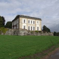
Terrace Walls And Steps Adjoining To South Of Escot
3.8 km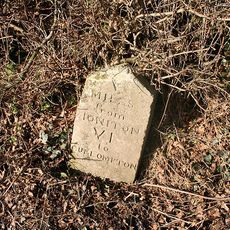
Milestone, E of Colliton Cross, before jct with Wilderness Lane
1.9 kmBeoordelingen
Heeft u deze plek bezocht? Tik op de sterren om een beoordeling te geven en uw ervaring of foto's te delen met de community! Probeer het nu! U kunt het op elk moment annuleren.
Ontdek verborgen schatten op elk avontuur!
Van karakteristieke kleine cafeetjes tot geheime uitzichtpunten – ontvlucht de drukte en vind plekken die echt bij jou passen. Onze app maakt het makkelijk: spraakzoekopdrachten, slimme filters, geoptimaliseerde routes en authentieke tips van reizigers wereldwijd. Download nu en beleef het avontuur op je smartphone!

Een nieuwe benadering van toeristische ontdekking❞
— Le Figaro
Alle plekken die de moeite waard zijn om te ontdekken❞
— France Info
Een uitstapje op maat in slechts een paar klikken❞
— 20 Minutes