
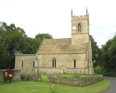
Church of the Holy Rood, Woodeaton, kerkgebouw
Locatie: Woodeaton
Ontstaan: 13e eeuw
GPS-coördinaten: 51.80320,-1.22567
Laatste update: 29 maart 2025 om 15:34
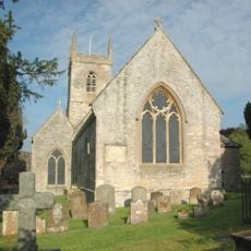
St Nicholas' Church, Islip
2.3 km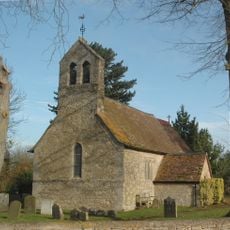
Church of St Giles
1.6 km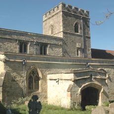
Church of the Assumption of the Blessed Virgin Mary
2.8 km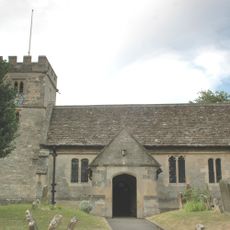
Church of St Nicholas
3.1 km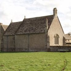
Chapel At Water Eaton Manor House
1.9 km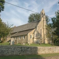
Church of St Thomas A Beckett
2 km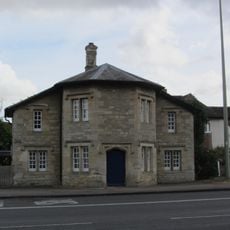
566, Banbury Road
3.3 km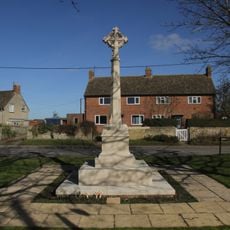
Islip (Oxfordshire) War Memorial
2.5 km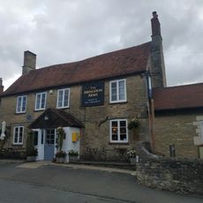
The Abingdon Arms Public House
3.1 km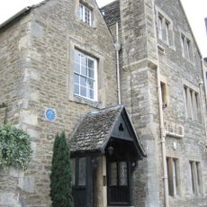
Manor House
1.8 km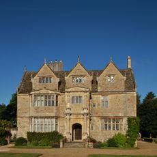
Manor House
1.9 km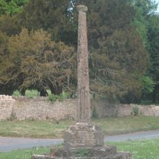
Woodeaton Cross
56 m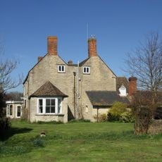
Northfield Farmhouse
2.3 km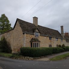
Alan Court
3.1 km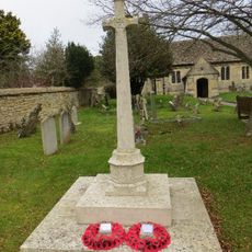
Old Marston War Memorial
3.2 km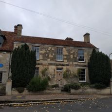
Manor House And Attached Front Wall
3.1 km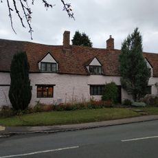
Cross Farmhouse
3.2 km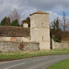
Manor House, Water Tower, Workshops And Attached Walls Approximately 70 Metres To South East
64 m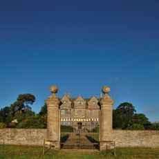
Gateway Approximately 30 Metres East Of Water Eaton Manor House
1.9 km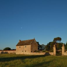
South Pavilion And Attached Walls Approximately 40 Metres East Of The Manorhouse
1.9 km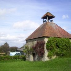
Home Farmhouse, Dovecote Approximately 80 Metres To East
1.9 km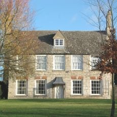
Home Farmhouse
1.9 km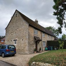
Long Farm
3.2 km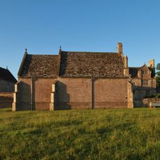
North Pavilion And Attached Walls Approximately 40 Metres North East Of The Manorhouse
1.9 km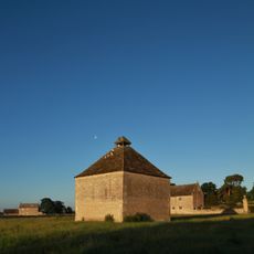
Dovecote Approximately 80 Metres East Of The Manorhouse
1.9 km
Church Farmhouse
3 km
Cromwells House
3.1 km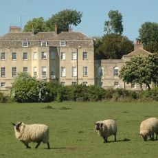
Manor House
140 mHeeft u deze plek bezocht? Tik op de sterren om een beoordeling te geven en uw ervaring of foto's te delen met de community! Probeer het nu! U kunt het op elk moment annuleren.
Ontdek verborgen schatten op elk avontuur!
Van karakteristieke kleine cafeetjes tot geheime uitzichtpunten – ontvlucht de drukte en vind plekken die echt bij jou passen. Onze app maakt het makkelijk: spraakzoekopdrachten, slimme filters, geoptimaliseerde routes en authentieke tips van reizigers wereldwijd. Download nu en beleef het avontuur op je smartphone!

Een nieuwe benadering van toeristische ontdekking❞
— Le Figaro
Alle plekken die de moeite waard zijn om te ontdekken❞
— France Info
Een uitstapje op maat in slechts een paar klikken❞
— 20 Minutes