
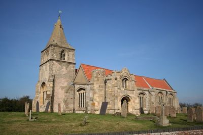
St Giles' Church, Holme, kerkgebouw in Verenigd Koninkrijk
Locatie: Holme
Ontstaan: 12e eeuw
GPS-coördinaten: 53.12330,-0.80151
Laatste update: 6 maart 2025 om 17:41
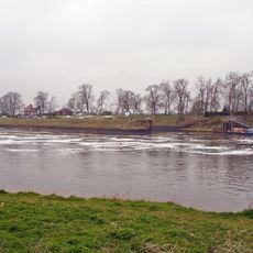
Cromwell Lock
2.1 km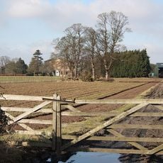
Langford Hall
2.6 km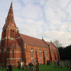
All Saints' Church, Winthorpe
2.9 km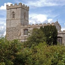
St. Wilfrid's Church, North Muskham
695 m
St John the Baptist's Church, Collingham
3.2 km
St Bartholomew's Church, Langford
1.8 km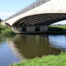
Winthorpe Bridge
2.4 km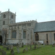
St. Laurence's Church, Norwell
3.8 km
St. Giles' Church, Cromwell
2.4 km
St. Wilfrid's Church, South Muskham
2.1 km
Winthorpe Hall
2.7 km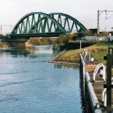
Newark Dyke Bridge
3.4 km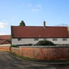
The Nunnery
3.1 km
The Little House And Number 20
3.5 km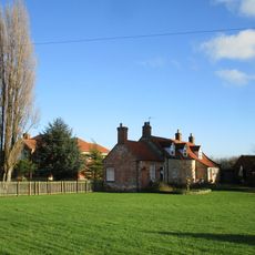
Grange Farm House
2.4 km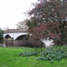
Muskham Bridge
3.3 km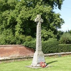
Norwell War Memorial
3.8 km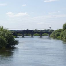
Muskham Railway Viaduct
2.9 km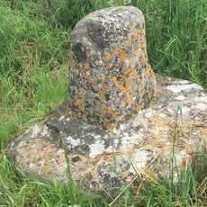
Standing cross 140m north of The Old Hall
133 m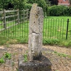
Standing cross 300m north of Trent Farm
722 m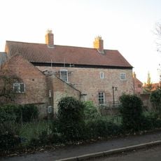
The Old Hall
832 m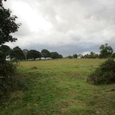
Langford medieval village, including moat and open field system, 450m north west of Elmtree Farm
1.9 km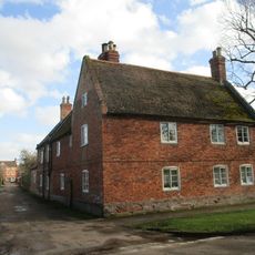
Lime Tree House
3.5 km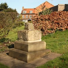
Village Cross
2.6 km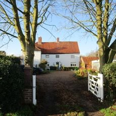
The Hollies
2.7 km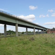
A46 Nether Lock Viaduct
3.8 km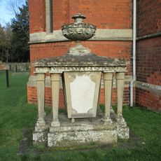
Thompson Tomb In Church Of All Saints, Church Yard, 15 Feet South Of Baptistry
2.9 km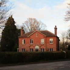
Dial House
2.7 kmHeeft u deze plek bezocht? Tik op de sterren om een beoordeling te geven en uw ervaring of foto's te delen met de community! Probeer het nu! U kunt het op elk moment annuleren.
Ontdek verborgen schatten op elk avontuur!
Van karakteristieke kleine cafeetjes tot geheime uitzichtpunten – ontvlucht de drukte en vind plekken die echt bij jou passen. Onze app maakt het makkelijk: spraakzoekopdrachten, slimme filters, geoptimaliseerde routes en authentieke tips van reizigers wereldwijd. Download nu en beleef het avontuur op je smartphone!

Een nieuwe benadering van toeristische ontdekking❞
— Le Figaro
Alle plekken die de moeite waard zijn om te ontdekken❞
— France Info
Een uitstapje op maat in slechts een paar klikken❞
— 20 Minutes