Cosgrove, Northamptonshire
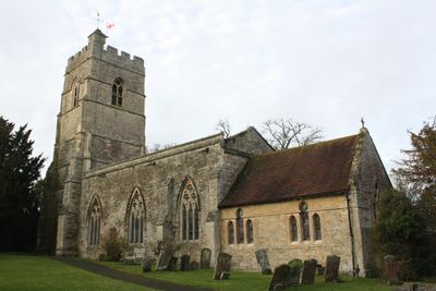
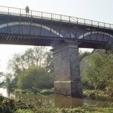
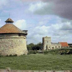
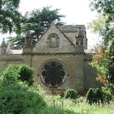
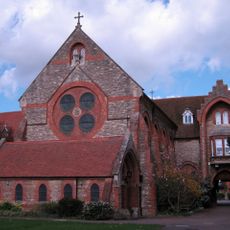
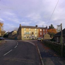
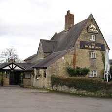
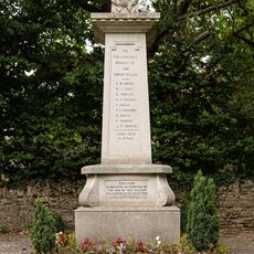
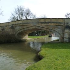
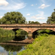
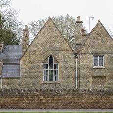
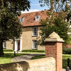
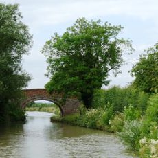
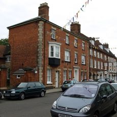
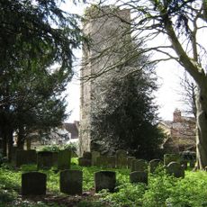
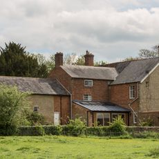
Cosgrove, Northamptonshire, dorp in Verenigd Koninkrijk
Locatie: West Northamptonshire
GPS-coördinaten: 52.07600,-0.84700
Laatste update: 3 maart 2025 om 15:52
Cosgrove aqueduct
1.2 km
Furtho
1.9 km
Holy Trinity Church
1.8 km
St Bartholomew's Church, Furtho
1.8 km
Church of St Simon and St Jude
2.1 km
Church of St Peter and St Paul
136 m
Church of St Nicholas
3 km
Former St Anthonys Franciscan Preparatory School
2 km
The Carrington Arms Public House
2 km
The Barley Mow Public House
115 m
Castlethorpe War Memorial
2.1 km
Bridge Number 65
233 m
Outbuildings At Manor Farm To North And East Of Manor Farm House
1.8 km
Old Wolverton Mill
1.5 km
Bridge Over River Ouse
1.9 km
Former School And School House
1.9 km
Wolverton Castle
1.7 km
Two Chest Tombs To The South Of The Nave Of The Church Of The Holy Trinity
1.8 km
The Horse Tunnel
172 m
Dovecote At Manor Farm
1.9 km
Barn And Coach House To East Of Old Wolverton Mill
1.5 km
Manor Farm House
1.8 km
Grand Union Canal Bridge Number 63 At Sp 781 445
2.2 km
Tower House
2 km
Remains of the church and churchyard of St Mary Magdalen
2 km
Longueville Court
1.8 km
Motte and bailey castle, deserted village and monastic grange at Old Wolverton
1.7 km
Wolverton Park
1.9 kmHeeft u deze plek bezocht? Tik op de sterren om een beoordeling te geven en uw ervaring of foto's te delen met de community! Probeer het nu! U kunt het op elk moment annuleren.
Ontdek verborgen schatten op elk avontuur!
Van karakteristieke kleine cafeetjes tot geheime uitzichtpunten – ontvlucht de drukte en vind plekken die echt bij jou passen. Onze app maakt het makkelijk: spraakzoekopdrachten, slimme filters, geoptimaliseerde routes en authentieke tips van reizigers wereldwijd. Download nu en beleef het avontuur op je smartphone!
Een nieuwe benadering van toeristische ontdekking❞
— Le Figaro
Alle plekken die de moeite waard zijn om te ontdekken❞
— France Info
Een uitstapje op maat in slechts een paar klikken❞
— 20 Minutes