
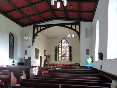
St. Thomas' Church, Mellor, kerkgebouw in Verenigd Koninkrijk
Locatie: Stockport
Architectuurstijl: English Gothic architecture
Website: http://mellorchurch.org
GPS-coördinaten: 53.39690,-2.02870
Laatste update: 23 maart 2025 om 21:25

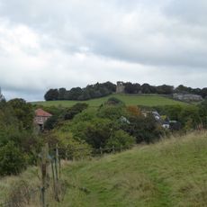
Mellor hill fort
39 m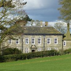
Mellor Hall
560 m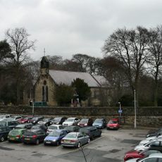
Church of St Martin, Marple
1.9 km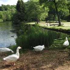
Roman Lakes Leisure Park
1.6 km
Shaw Cairn
1.7 km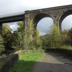
Goytcliffe Viaduct
1.8 km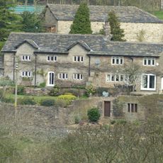
Pear Tree Farmhouse
797 m
Marple Bridge
1.8 km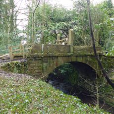
Bridge Over Mill Stream Immediately East Of Bottoms Bridge
1.6 km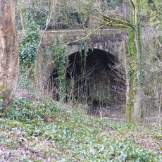
Bottoms Bridge
1.7 km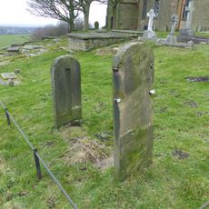
Stocks in graveyard of Church of St Thomas the Apostle
22 m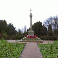
Mellor War Memorial
1 km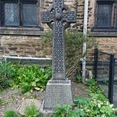
Marple Bridge United Reformed Church War Memorial
1.6 km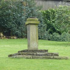
Sundial At Mellor Hall
493 m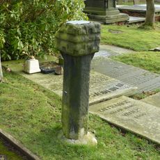
Remains of Saxon cross in graveyard of Church of St Thomas the Apostle
39 m
Norfolk Arms And National Westminster Bank, Marple Bridge Branch
1.7 km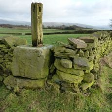
Cross Base
1.8 km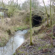
Culvert 10 metres to north of Bottoms Hall
1.4 km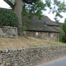
Barn at Pear Tree Farm
807 m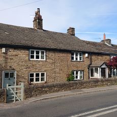
Oldstones
696 m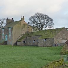
Longshaw Clough Farmhouse and adjoining farm building
1.1 km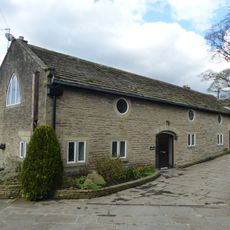
Outbuilding to west of Mellor Hall and north of barn
538 m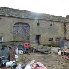
Outbuildings immediately south east of Old Hall Farmhouse
1.4 km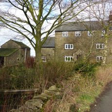
Tarden
834 m
Townscliffe Cottage, Townscliffe Farmhouse
641 m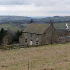
Cobden Farmhouse
1.2 km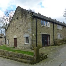
Barn to south west of Mellor Hall
522 m
Old Hall/Old Hall Farmhouse
1.4 kmBeoordelingen
Heeft u deze plek bezocht? Tik op de sterren om een beoordeling te geven en uw ervaring of foto's te delen met de community! Probeer het nu! U kunt het op elk moment annuleren.
Ontdek verborgen schatten op elk avontuur!
Van karakteristieke kleine cafeetjes tot geheime uitzichtpunten – ontvlucht de drukte en vind plekken die echt bij jou passen. Onze app maakt het makkelijk: spraakzoekopdrachten, slimme filters, geoptimaliseerde routes en authentieke tips van reizigers wereldwijd. Download nu en beleef het avontuur op je smartphone!

Een nieuwe benadering van toeristische ontdekking❞
— Le Figaro
Alle plekken die de moeite waard zijn om te ontdekken❞
— France Info
Een uitstapje op maat in slechts een paar klikken❞
— 20 Minutes