
Holwell, Hertfordshire, dorp in Verenigd Koninkrijk
Locatie: North Hertfordshire
GPS-coördinaten: 51.98330,-0.30000
Laatste update: 9 maart 2025 om 03:36
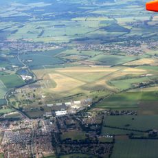
RAF Henlow
3.6 km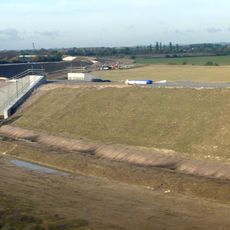
Hitchin Flyover
2.9 km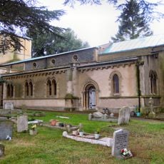
Church of St Katherine
2 km
Oughtonhead Common
2.5 km
Oughtonhead Nature Reserve
2.6 km
Oughtonhead Lane
3.1 km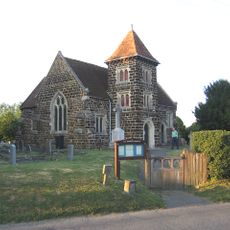
Church of All Saints
3.1 km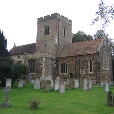
Church of St Mary the Virgin
4.5 km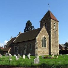
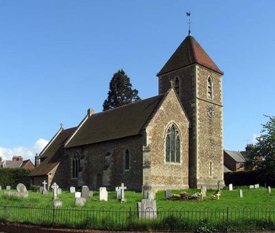
Church of St Peter (C of E) at Corner with Holwell Road
434 m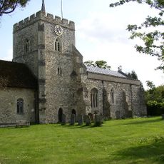
Church of St Mary (Church of England)
2.5 km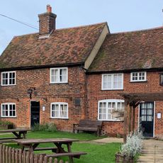
The Fox Inn
2.5 km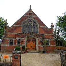
Pirton Methodist Church
2.6 km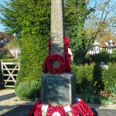
Pirton War Memorial, Hertfordshire
2.5 km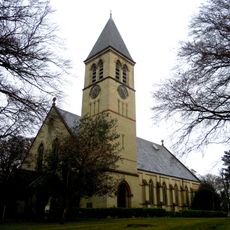
Church At Fairfield Hospital
4.2 km
32 And 33, Bancroft
3.9 km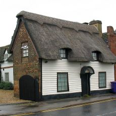
91, Woolgrove Road
3.9 km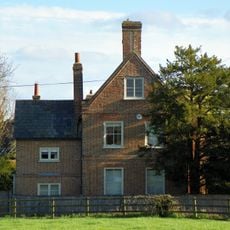
Walnut Tree Farmhouse
2.5 km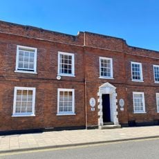
34, Bancroft
3.9 km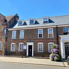
30, Bancroft
3.9 km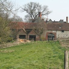
High Down House With Buildings And Walls Around Courtyard On North Side
3.5 km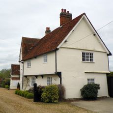
Church Farmhouse
502 m
Cadwell Farmhouse
2.1 km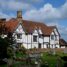
Manor House
4.5 km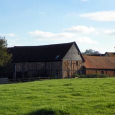
Farmbuildings Fronting Road At Walnut Tree Farm
2.6 km
Gateway And Frontage Wall To Ickleford Jmi School
2 km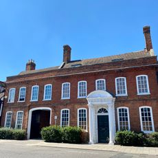
Manor House Galleries
4 km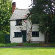
Three Gables
2.7 km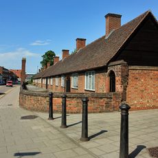
Entrance Court Wall And Gateways To Skynner's Almshouses Skynner's Almshouses
3.9 kmHeeft u deze plek bezocht? Tik op de sterren om een beoordeling te geven en uw ervaring of foto's te delen met de community! Probeer het nu! U kunt het op elk moment annuleren.
Ontdek verborgen schatten op elk avontuur!
Van karakteristieke kleine cafeetjes tot geheime uitzichtpunten – ontvlucht de drukte en vind plekken die echt bij jou passen. Onze app maakt het makkelijk: spraakzoekopdrachten, slimme filters, geoptimaliseerde routes en authentieke tips van reizigers wereldwijd. Download nu en beleef het avontuur op je smartphone!

Een nieuwe benadering van toeristische ontdekking❞
— Le Figaro
Alle plekken die de moeite waard zijn om te ontdekken❞
— France Info
Een uitstapje op maat in slechts een paar klikken❞
— 20 Minutes