Locatie inschakelen

We hebben je locatie nodig om interessante plaatsen in je buurt te tonen

Ontdek plaatsen in de buurt

Vind interessante locaties en verborgen pareltjes om je heen

Precieze routebeschrijving

Krijg nauwkeurige routebeschrijvingen en afstanden naar plaatsen

Je locatie wordt nooit gedeeld met andere gebruikers. Het wordt alleen gebruikt wanneer je op de locatieknop tikt.

Inloggen op je account

Begin met ontdekken — het is gratis

Vertrouwd door 61.421 reizigers wereldwijd

Doorgaan met Google
Doorgaan met Apple
of

We sturen je een code om te verbinden

Door door te gaan, accepteer je onze Algemene voorwaarden en ons Privacybeleid

Controleer je inbox

We hebben een pincode naar uw inbox gestuurd. Voer de code hieronder in.

Ilam, Staffordshire

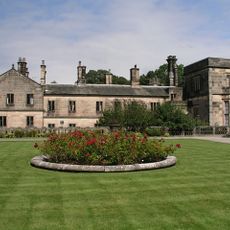
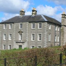
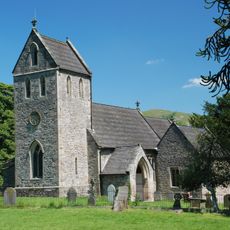
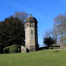
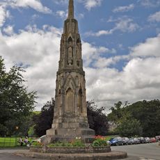
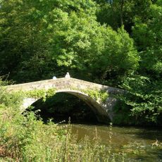
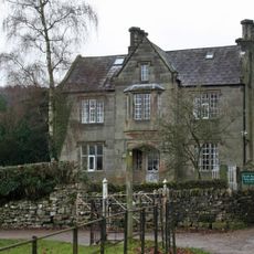
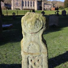
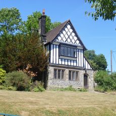
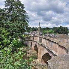
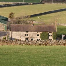
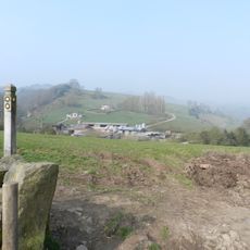
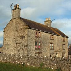
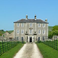
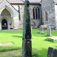
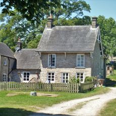
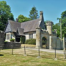
Ilam, Staffordshire, dorp in Verenigd Koninkrijk

GPS-coördinaten
53.05000,-1.80000
Laatste update
4 maart 2025 om 14:46

AroundUs brengt duizenden geselecteerde plaatsen, lokale tips en verborgen pareltjes samen, dagelijks verrijkt door meer dan 60,000 bijdragers wereldwijd. Ontdek alle plaatsen in de buurt (Staffordshire Moorlands).

Rond deze plek
Ilam Park
Verenigd Koninkrijk

Ilam Park

495 m
Castern Hall
Verenigd Koninkrijk

Castern Hall

2.4 km
Church of the Holy Cross
Verenigd Koninkrijk

Church of the Holy Cross

445 m
Tower Aproximately 20 Yards North Of Ilam Hall
Verenigd Koninkrijk

Tower Aproximately 20 Yards North Of Ilam Hall

519 m
Mrs Watts-Russell Memorial
Verenigd Koninkrijk

Mrs Watts-Russell Memorial

524 m
St Bertram's Bridge
Verenigd Koninkrijk

St Bertram's Bridge

329 m
Dovedale House
Verenigd Koninkrijk

Dovedale House

550 m
Anglo-Scandinavian cross, 7m south of the south transept of the Church of the Holy Cross
Verenigd Koninkrijk

Anglo-Scandinavian cross, 7m south of the south transept of the Church of the Holy Cross

423 m
School House
Verenigd Koninkrijk

School House

673 m
Coach House And Stable Block Approximately 20 Yards South West Of Ilam Hall
Verenigd Koninkrijk

Coach House And Stable Block Approximately 20 Yards South West Of Ilam Hall

507 m
River Lodge
Verenigd Koninkrijk

River Lodge

1.6 km
Bridge over River Manifold
Verenigd Koninkrijk

Bridge over River Manifold

496 m
Lower Damgate Farmhouse and attached stable and loft
Verenigd Koninkrijk

Lower Damgate Farmhouse and attached stable and loft

3.2 km
Gate, Gate Piers And Adjoining Walls To Ilam Park
Verenigd Koninkrijk

Gate, Gate Piers And Adjoining Walls To Ilam Park

589 m
Musden Grange And Attached Stable
Verenigd Koninkrijk

Musden Grange And Attached Stable

1.4 km
Upper Damgate Farmhouse
Verenigd Koninkrijk

Upper Damgate Farmhouse

3.1 km
Ilam Church Of England School
Verenigd Koninkrijk

Ilam Church Of England School

654 m
Rushley Bridge
Verenigd Koninkrijk

Rushley Bridge

1.7 km
Grave Cover Approximately 20 Yards South Of West Tower Of Church Of Holy Cross
Verenigd Koninkrijk

Grave Cover Approximately 20 Yards South Of West Tower Of Church Of Holy Cross

413 m
Gate piers, forecourt walls and steps to Castern Hall
Verenigd Koninkrijk

Gate piers, forecourt walls and steps to Castern Hall

2.4 km
Anglo-Scandinavian cross, 12m south of the south porch of the Church of the Holy Cross
Verenigd Koninkrijk

Anglo-Scandinavian cross, 12m south of the south porch of the Church of the Holy Cross

430 m
Turret, Loggia, Steps And Parapet To Terrace Immediately South South East Of Ilam Hall
Verenigd Koninkrijk

Turret, Loggia, Steps And Parapet To Terrace Immediately South South East Of Ilam Hall

449 m
Home Farmhouse
Verenigd Koninkrijk

Home Farmhouse

614 m
Anglo-Scandinavian cross, 240m south west of Ilam Hall
Verenigd Koninkrijk

Anglo-Scandinavian cross, 240m south west of Ilam Hall

683 m
Gatehouse Lodge
Verenigd Koninkrijk

Gatehouse Lodge

599 m
Church Lodge
Verenigd Koninkrijk

Church Lodge

435 m
Castern Farmhouse
Verenigd Koninkrijk

Castern Farmhouse

2.6 km
Coach house, stables and hayloft to north of Castern Hall
Verenigd Koninkrijk

Coach house, stables and hayloft to north of Castern Hall

2.4 km
Toon de volledige kaart
« Ilam, Staffordshire - dorp in Verenigd Koninkrijk » wordt geleverd door Around Us (nl.aroundus.com). Afbeeldingen en teksten zijn afkomstig van het Wikimedia-project onder een Creative Commons-licentie. U mag kopieën van deze pagina kopiëren, verspreiden en wijzigen onder de voorwaarden van de licentie, zolang deze opmerking duidelijk zichtbaar is.

Ontdek verborgen schatten op elk avontuur!

Van karakteristieke kleine cafeetjes tot geheime uitzichtpunten – ontvlucht de drukte en vind plekken die echt bij jou passen. Onze app maakt het makkelijk: spraakzoekopdrachten, slimme filters, geoptimaliseerde routes en authentieke tips van reizigers wereldwijd. Download nu en beleef het avontuur op je smartphone!

Around Us App Screenshot

Een nieuwe benadering van toeristische ontdekking

Le Figaro

Alle plekken die de moeite waard zijn om te ontdekken

France Info

Een uitstapje op maat in slechts een paar klikken

20 Minutes

Around Us
Reisgids & Kaarten
Downloaden

Verstuur naar je telefoon

QR Code
1

Open de camera-app op je mobiel.

2

Richt je camera op de QR-code. Er verschijnt een melding.

3

Tik op de melding om de link te openen.