
Hemington, Northamptonshire, dorp in Verenigd Koninkrijk
Locatie: North Northamptonshire
GPS-coördinaten: 52.44750,-0.39030
Laatste update: 7 maart 2025 om 18:52
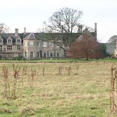
Barnwell Manor
4.5 km
Barnwell Castle
4.6 km
Ashton Wold
3.1 km
Parish Church of St John the Evangelist
4.3 km
St Andrew's Church, Steeple Gidding
4.9 km
Church of St Peter
3.7 km
Church of St James
1.9 km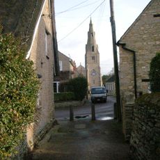
Church of All Saints
3.7 km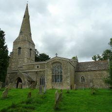
Parish Church of All Saints
3.9 km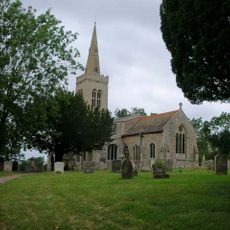
Parish Church of St Michael
2.5 km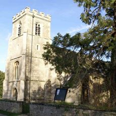
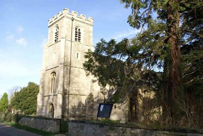
Church of St Peter and St Paul
583 m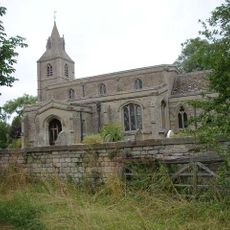
Church of St Margaret
1.2 km
Parish Church of St Mary Magdalene
6 km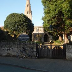
Church of St Andrew
4.6 km
Montague Arms Public House
4.5 km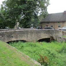
Bridge Approximately 10 Metres West Of The Montague Arms Public House
4.5 km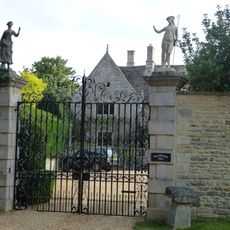
Polebrook Hall and attached Wall with Gatearch
3.6 km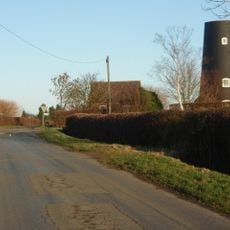
Tower Mill
3.1 km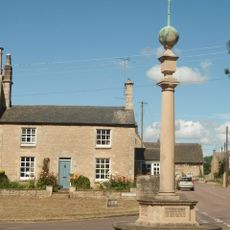
Polebrook and Armston War Memorial
3.7 km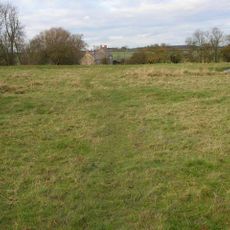
Papley deserted medieval village, moat and fishpond, near Warmington.
4.6 km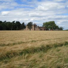
North Lodge Farmhouse
2.4 km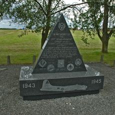
351st Bombardment Group USAAF Memorial, Polebrook
2.4 km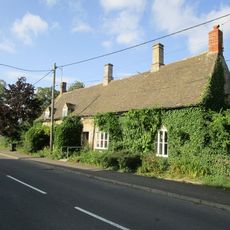
Brook Farmhouse
3.7 km
Parkers Patch
4.7 km
Manor Farmhouse
3.7 km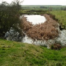
Deserted village (site of)
5.1 km
Greyston House
3.7 km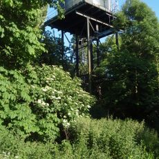
Water Tower
3.7 kmHeeft u deze plek bezocht? Tik op de sterren om een beoordeling te geven en uw ervaring of foto's te delen met de community! Probeer het nu! U kunt het op elk moment annuleren.
Ontdek verborgen schatten op elk avontuur!
Van karakteristieke kleine cafeetjes tot geheime uitzichtpunten – ontvlucht de drukte en vind plekken die echt bij jou passen. Onze app maakt het makkelijk: spraakzoekopdrachten, slimme filters, geoptimaliseerde routes en authentieke tips van reizigers wereldwijd. Download nu en beleef het avontuur op je smartphone!

Een nieuwe benadering van toeristische ontdekking❞
— Le Figaro
Alle plekken die de moeite waard zijn om te ontdekken❞
— France Info
Een uitstapje op maat in slechts een paar klikken❞
— 20 Minutes