
Tittesworth, civil parish in Staffordshire Morlands, Staffordshire, England
Locatie: Staffordshire Moorlands
GPS-coördinaten: 53.12681,-1.97706
Laatste update: 26 maart 2025 om 04:30
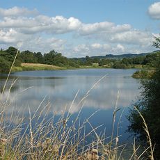
Tittesworth reservoir
2.9 km
Dieulacres Abbey
3.4 km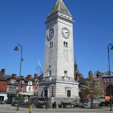
Nicholson War Memorial
3.8 km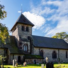
Church of St Matthew
3.4 km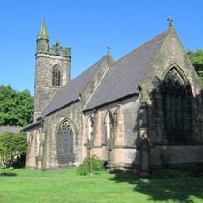
Church of St Luke
3.6 km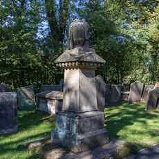
Condlyff Memorial approximately 3 metres south of Church of St Matthew
3.4 km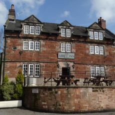
Abbey Inn
3.8 km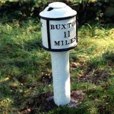
Milepost at NGR SJ 551 577
2 km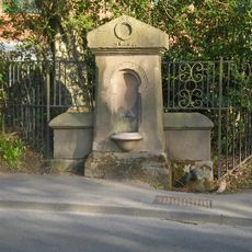
Drinking Water Fountain
2.8 km
Nicholson Institute and Leek College of Further Education
3.8 km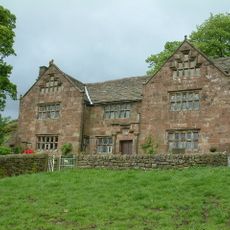
Windygates Hall
3.2 km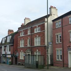
10, Stockwell Street
3.9 km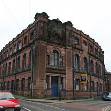
Cross Street Mills
3.6 km
Garden wall and gate piers of Greystones
3.8 km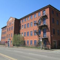
London Mill
3.6 km
Gate piers, railings and gates of Nicholson Institute
3.8 km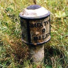
Milepost Near Upper Hulme (Ngr Sk0130760681)
1.9 km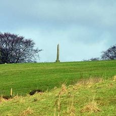
The Butter Cross, 700m north east of Stile House Farm
2.2 km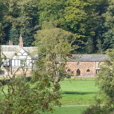
West stable range at Dieu-La-Cres Abbey Farm
3.5 km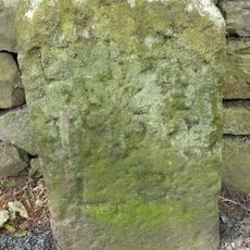
Boundary stone at NGR SJ 996 558
3.6 km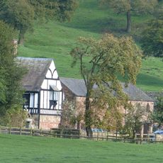
Dieu-La-Cres Abbey Farmhouse
3.5 km
240, Abbey Green Road
3.8 km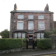
Ford House
3.8 km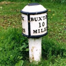
Milepost Leek 2 Miles
1.1 km
Greystones
3.8 km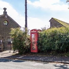
K6 Telephone Kiosk
3.3 km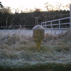
Milepost, near Upper Hulme
1.9 km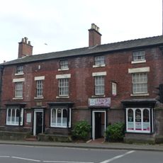
16 and 18, Stockwell Street
3.8 kmHeeft u deze plek bezocht? Tik op de sterren om een beoordeling te geven en uw ervaring of foto's te delen met de community! Probeer het nu! U kunt het op elk moment annuleren.
Ontdek verborgen schatten op elk avontuur!
Van karakteristieke kleine cafeetjes tot geheime uitzichtpunten – ontvlucht de drukte en vind plekken die echt bij jou passen. Onze app maakt het makkelijk: spraakzoekopdrachten, slimme filters, geoptimaliseerde routes en authentieke tips van reizigers wereldwijd. Download nu en beleef het avontuur op je smartphone!

Een nieuwe benadering van toeristische ontdekking❞
— Le Figaro
Alle plekken die de moeite waard zijn om te ontdekken❞
— France Info
Een uitstapje op maat in slechts een paar klikken❞
— 20 Minutes