
Hardwick-with-Yelford, civil parish in West Oxfordshire, England
Locatie: West Oxfordshire
Grenst aan: Ducklington, Aston, Cote, Shifford and Chimney, Standlake, South Leigh
GPS-coördinaten: 51.76000,-1.46600
Laatste update: 3 maart 2025 om 01:43
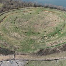
Devil's Quoits
4.7 km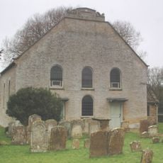
Cote Baptist Church
4.3 km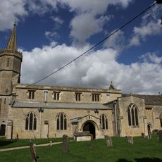
St Giles' Church, Standlake
4.3 km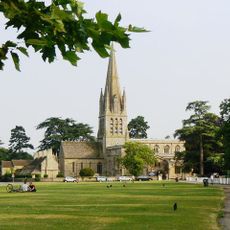
Church of St Mary the Virgin, Witney
2.7 km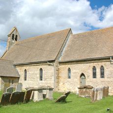
Church of St Mary
5 km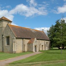
Church of St Mary, Cokethorpe
806 m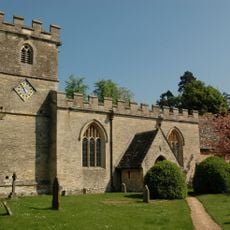
Church of St James
3.2 km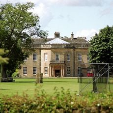
Cokethorpe House
782 m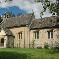
Church of St Nicholas And St Swithin
2.5 km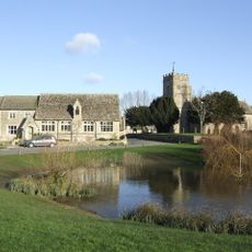
Church of St Bartholomew
1.2 km
15A and 15B, Church Green
2.8 km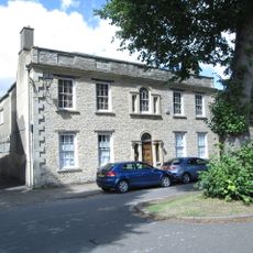
Masonic Hall and attached outbuilding and wall
2.8 km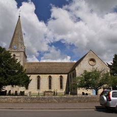
Church of St James
4.7 km
Ducklington Steam Rally
1.7 km
29, Church Green
2.7 km
28-38, Church Green
2.8 km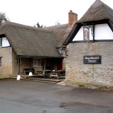
The Masons Arms Public House
2.8 km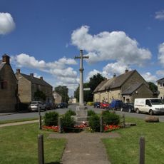
Aston War Memorial
4.9 km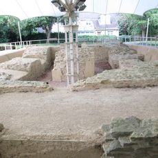
Bishop of Winchester's Palace, 90m east of St Mary's Church
2.6 km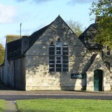
St Mary's School
2.8 km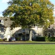
23 and 25 Church Green
2.7 km
The Old Rectory and attached wall
2.7 km
Old Place
2.8 km
The Teaching Centre, Henry Box School
2.7 km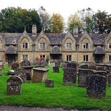
Holloways Almshouses
2.7 km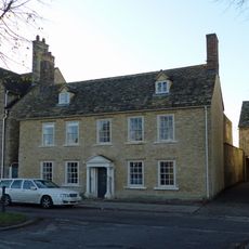
The Rectory and attached wall
2.8 km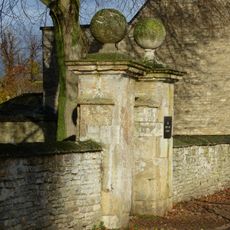
South gatepier and attached wall approximately 100 metres east Of Henry Box School
2.7 km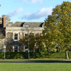
St Mary's Close
2.7 kmBeoordelingen
Heeft u deze plek bezocht? Tik op de sterren om een beoordeling te geven en uw ervaring of foto's te delen met de community! Probeer het nu! U kunt het op elk moment annuleren.
Ontdek verborgen schatten op elk avontuur!
Van karakteristieke kleine cafeetjes tot geheime uitzichtpunten – ontvlucht de drukte en vind plekken die echt bij jou passen. Onze app maakt het makkelijk: spraakzoekopdrachten, slimme filters, geoptimaliseerde routes en authentieke tips van reizigers wereldwijd. Download nu en beleef het avontuur op je smartphone!

Een nieuwe benadering van toeristische ontdekking❞
— Le Figaro
Alle plekken die de moeite waard zijn om te ontdekken❞
— France Info
Een uitstapje op maat in slechts een paar klikken❞
— 20 Minutes