
Gosford and Water Eaton, civil parish in Cherwell, Oxfordshire, England
Locatie: Cherwell
Grenst aan: Kidlington, Yarnton, Wytham, Oxford, Elsfield, Woodeaton, Islip
GPS-coördinaten: 51.80000,-1.27000
Laatste update: 8 maart 2025 om 16:23
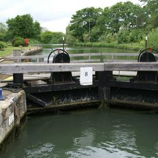
King's Lock
2.8 km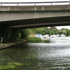
A34 Road Bridge
3.1 km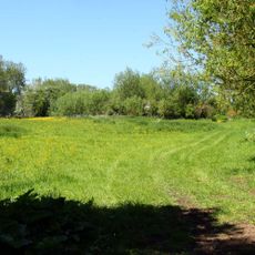
Wolvercote Meadows
2.7 km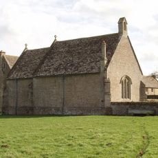
Chapel At Water Eaton Manor House
1.3 km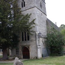
Church of St Peter
1.8 km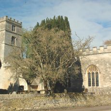
Church of St Bartholomew
2.7 km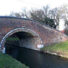
Oxford Canal Towpath Bridge At Duke's Cut Lock
1.9 km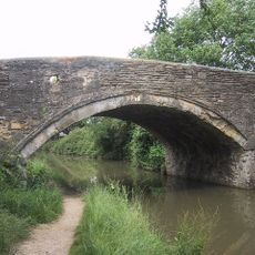
Bridge 227, Oxford Canal
2.6 km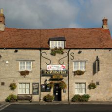
The White Hart Public House
2.4 km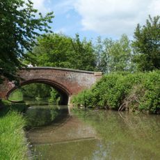
Oxford Canal Bridge Number 236
2.1 km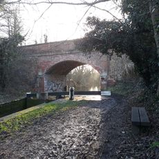
Oxford Canal Bridge Number 235
2 km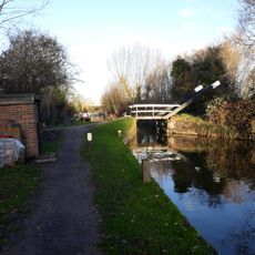
Oxford Canal Tilting Bridge Approximately 650 Metres South East Of Duke's Cut
1.9 km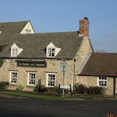
The Grapes Inn
2.2 km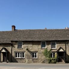
Kings Arms Public House And Attached Mounting Block
2 km
Toll Bridge
2.8 km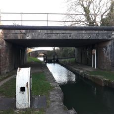
Duke's Cut Railway Bridge
1.9 km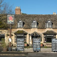
Red Lion Public House
2.4 km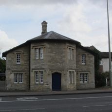
566, Banbury Road
749 m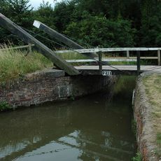
Drinkwater's Lift Bridge
1.6 km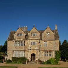
Manor House
1.3 km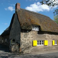
Nunnery
2.6 km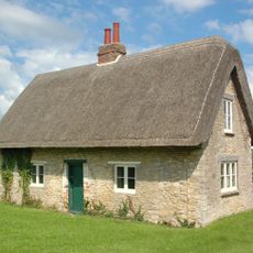
Quainton's Cottage
2.3 km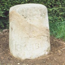
Stone In Banbury Road Outside Number 423
1.2 km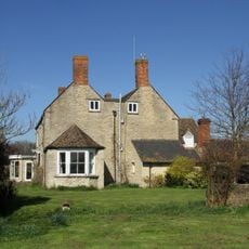
Northfield Farmhouse
2.1 km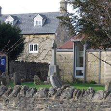
Wolvercote War Memorial
1.9 km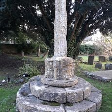
Base And Shaft Of Churchyard Cross Approximately 16 Metres South South East Of South Porch Of Church Of St Bartholomew
2.7 km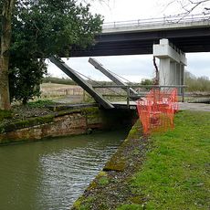
Oxford Canal Bridge 233
1.8 km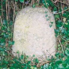
Stone in Woodstock Road outside Number 385
1.7 kmHeeft u deze plek bezocht? Tik op de sterren om een beoordeling te geven en uw ervaring of foto's te delen met de community! Probeer het nu! U kunt het op elk moment annuleren.
Ontdek verborgen schatten op elk avontuur!
Van karakteristieke kleine cafeetjes tot geheime uitzichtpunten – ontvlucht de drukte en vind plekken die echt bij jou passen. Onze app maakt het makkelijk: spraakzoekopdrachten, slimme filters, geoptimaliseerde routes en authentieke tips van reizigers wereldwijd. Download nu en beleef het avontuur op je smartphone!

Een nieuwe benadering van toeristische ontdekking❞
— Le Figaro
Alle plekken die de moeite waard zijn om te ontdekken❞
— France Info
Een uitstapje op maat in slechts een paar klikken❞
— 20 Minutes