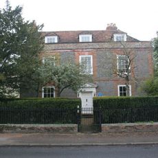
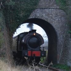
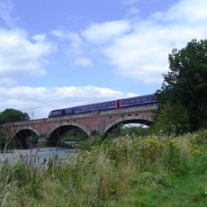
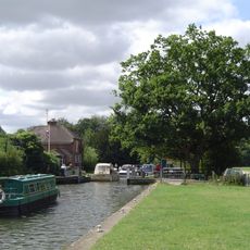
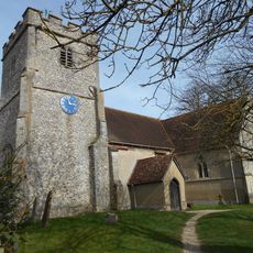
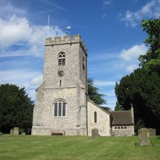
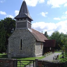
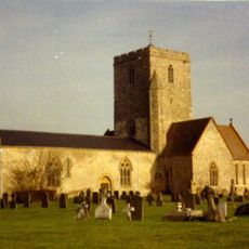
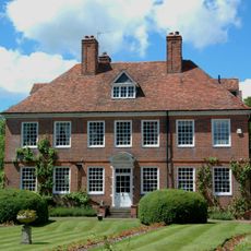
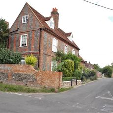
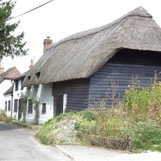
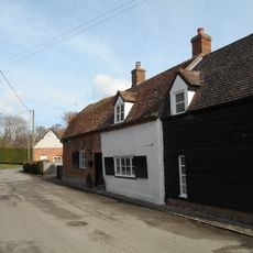
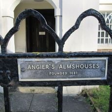
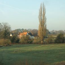
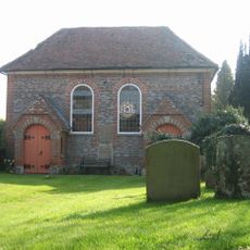
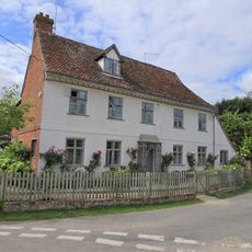
Cholsey, plaats in Oxfordshire
De community van nieuwsgierige reizigers
AroundUs brengt duizenden geselecteerde plaatsen, lokale tips en verborgen pareltjes samen, dagelijks verrijkt door meer dan 60,000 bijdragers wereldwijd.
Locatie
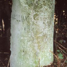
Grenst aan
Aston Tirrold, Moulsford, South Stoke, Crowmarsh, Wallingford, Brightwell-cum-Sotwell, South Moreton
Website
GPS-coördinaten
51.57400,-1.15100
Laatste update
3 maart 2025 om 04:00