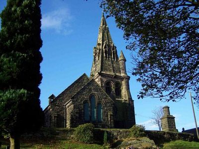
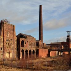
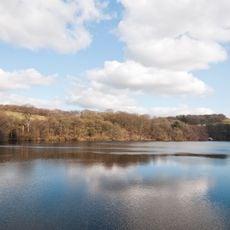
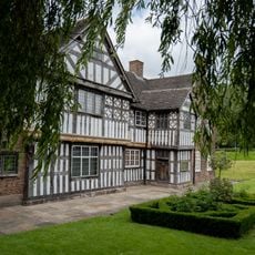
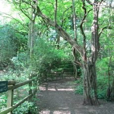
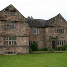
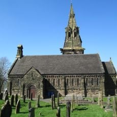
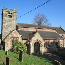
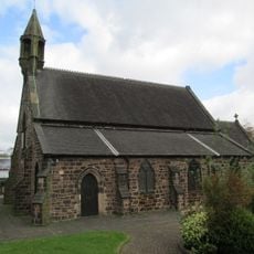
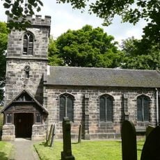
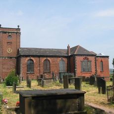
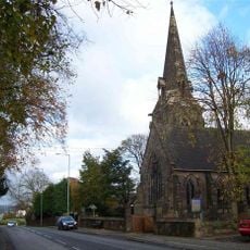
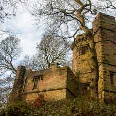
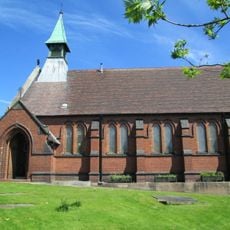
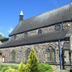
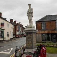
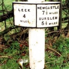
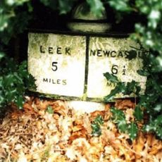
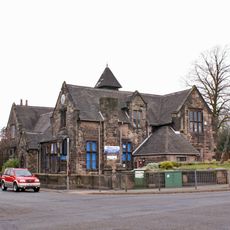
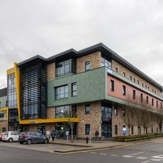
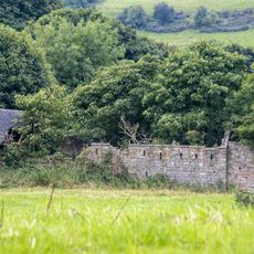
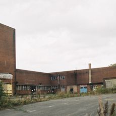
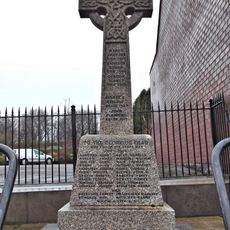
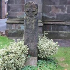
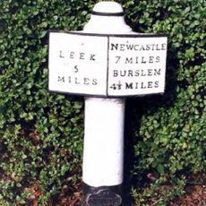
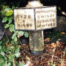
Brown Edge, village in Staffordshire, England, UK
Locatie: Staffordshire Moorlands
GPS-coördinaten: 53.08253,-2.14872
Laatste update: 11 april 2025 om 22:01
Chatterley Whitfield Colliery
1.9 km
Knypersley Reservoir
1.4 km
Ford Green Hall
3.4 km
Bagnall Road Wood
4 km
The Ashes
3.1 km
Church of St Anne
394 m
Church of St Luke, Endon
2.7 km
Church of St Saviour, Smallthorne
3.9 km
Church of St Chad
4 km
Church of St Bartholomew
2.6 km
Church of St John the Evangelist
3.6 km
Prospect Tower And Attached Wing
1.5 km
St James the Apostle
3.9 km
Biddulph Library
4.1 km
St. Philip and St. James
3.6 km
Biddulph War Memorial
4.3 km
Milepost At Sj 933 541
3.2 km
Milepost Outside 'Kings Croft', West Of Endon Village
2.1 km
Knypersley School Knypersley School, Attached Archway And Frontage Wall
3.6 km
Biddulph Primary Care Centre
4.1 km
Crowborough Farmhouse
3 km
Chatterley Whitfield: Pithead Baths Complex (18-21)
1.9 km
Brindley Ford War Memorial
2.3 km
Red Cross, Approximately 2 Metres West Of Church Of St John
3.6 km
Milepost At Sj 923 528
2.5 km
Biddulph Town Hall
4.2 km
Milepost, between Norton Green & Norton-in-the-Moors, W of Endon village
2 km
Milepost, Stockton Brook
2.5 kmBeoordelingen
Heeft u deze plek bezocht? Tik op de sterren om een beoordeling te geven en uw ervaring of foto's te delen met de community! Probeer het nu! U kunt het op elk moment annuleren.
Ontdek verborgen schatten op elk avontuur!
Van karakteristieke kleine cafeetjes tot geheime uitzichtpunten – ontvlucht de drukte en vind plekken die echt bij jou passen. Onze app maakt het makkelijk: spraakzoekopdrachten, slimme filters, geoptimaliseerde routes en authentieke tips van reizigers wereldwijd. Download nu en beleef het avontuur op je smartphone!
Een nieuwe benadering van toeristische ontdekking❞
— Le Figaro
Alle plekken die de moeite waard zijn om te ontdekken❞
— France Info
Een uitstapje op maat in slechts een paar klikken❞
— 20 Minutes