
Butterton, village and civil parish in Staffordshire Moorlands, UK
Locatie: Staffordshire Moorlands
GPS-coördinaten: 53.10732,-1.89239
Laatste update: 3 maart 2025 om 16:49
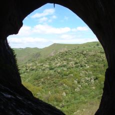
Thor's Cave
3.1 km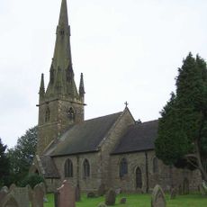
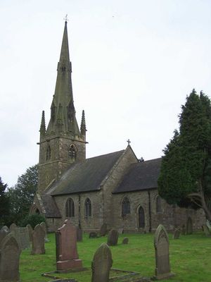
St Bartholomew's Church, Butterton
334 m
Church of St John Baptist
2.8 km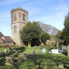
Church of St Luke
2.9 km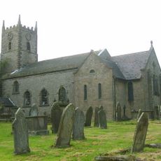
Church of St Laurence
2.4 km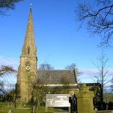
Church of All Saints
2.5 km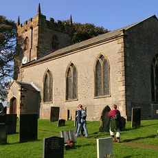
Church of St Margaret
3.8 km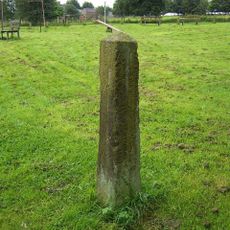
Obelisk and memorial approximately 50 yards south of Church of All Saints
2.5 km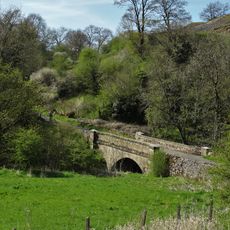
Dale Bridge
2.8 km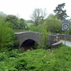
Weags Bridge
3.7 km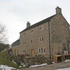
Pepper Inn
3.1 km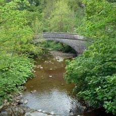
Darfar Bridge
2.5 km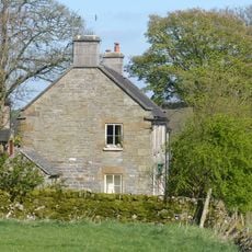
Cawbrook Farmhouse
2.8 km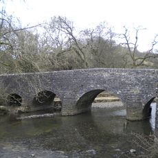
Wetton Bridge
2.3 km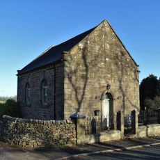
Warslow Methoist Chapel, Forecourt Wall, Railings, Gate And Gate Piers
2.4 km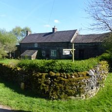
Dalefields and attached outbuildings
2.8 km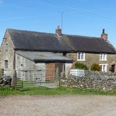
Grindley Croft
2.7 km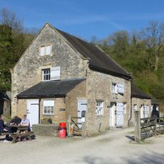
Stable Block And Granary East Of Wetton Mill House
2.4 km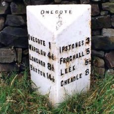
Milepost Approximately 1 1/4 Miles South Of Wetley Lane
3.9 km
Stable block and granary approximately 20 yards south east of Wetton Mill House
2.4 km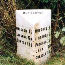
Milepost Approximately 200 Yards South West Of Brownlow Bridge
774 m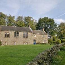
School And Attached House
2.3 km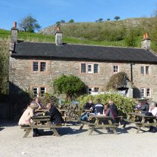
Wetton Mill House
2.3 km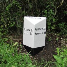
Milepost Approximately 1 Mile North West Of Gateham Grange
3.8 km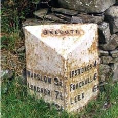
Milepost Approximately 30 Yards South Of Fold Farmhouse
2.5 km
Dale Farmhouse
2.2 km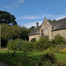
Ford Old Hall
2.8 km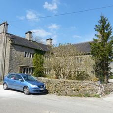
Manor House
3.8 kmBeoordelingen
Heeft u deze plek bezocht? Tik op de sterren om een beoordeling te geven en uw ervaring of foto's te delen met de community! Probeer het nu! U kunt het op elk moment annuleren.
Ontdek verborgen schatten op elk avontuur!
Van karakteristieke kleine cafeetjes tot geheime uitzichtpunten – ontvlucht de drukte en vind plekken die echt bij jou passen. Onze app maakt het makkelijk: spraakzoekopdrachten, slimme filters, geoptimaliseerde routes en authentieke tips van reizigers wereldwijd. Download nu en beleef het avontuur op je smartphone!

Een nieuwe benadering van toeristische ontdekking❞
— Le Figaro
Alle plekken die de moeite waard zijn om te ontdekken❞
— France Info
Een uitstapje op maat in slechts een paar klikken❞
— 20 Minutes