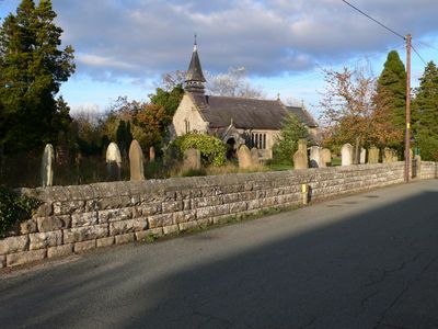
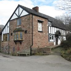
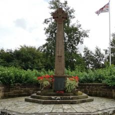
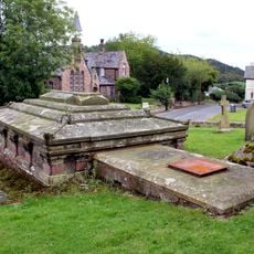
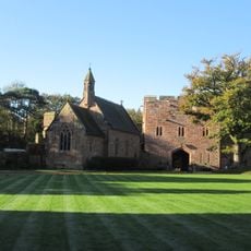
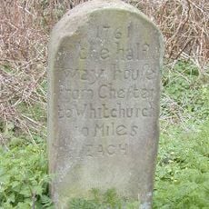
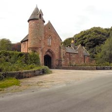
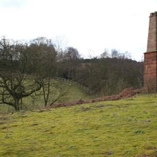
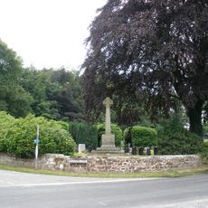
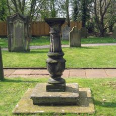
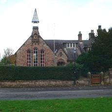
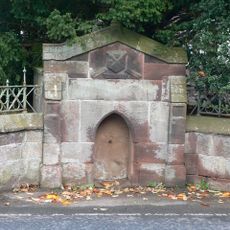
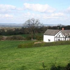
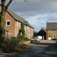
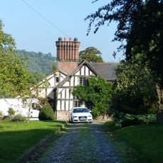
Burwardsley, dorp in Verenigd Koninkrijk
Locatie: Cheshire West and Chester
Grenst aan: Tattenhall and District, Harthill
GPS-coördinaten: 53.10000,-2.73333
Laatste update: 2 april 2025 om 15:21
Peckforton Castle
3 km
Beeston Castle
4.2 km
Bolesworth Castle
1.5 km
Bulkeley Hill Narrow Gauge Railway
2 km
Bulkeley Hall
2.7 km
Tattenhall Hall
3.1 km
All Saints Church, Harthill
1.2 km
Brown Knowl Methodist Church
2.9 km
St John's Church, Burwardsley
674 m
Holy Trinity Church, Bickerton
2.6 km
Bulkeley Methodist Church
2.7 km
The Pheasant Inn
1.4 km
Tattenhall, Newton and Golborne Bellow War Memorial
3.3 km
Barbour Mausoleum in All Saints Churchyard
1.2 km
Chapel in the ward of Peckforton Castle
3 km
Halfway House Milestone
2.6 km
Entrance lodge south east of Peckforton Castle
3.2 km
Sandstone chimney to former Copper Mine
2 km
Walls, towers and gatehouse of the inner bailey at Beeston Castle
4.1 km
Bickerton War Memorial
2.5 km
Sundial in Church of St Alban's churchyard
3.4 km
Boundary Stone
1.4 km
School and schoolmaster's house
1.2 km
Chowley Lodge
2.9 km
Fountain in front of the School
1.2 km
Lowerhill Farmhouse
113 m
Farm Building South East Of Peckforton Hall
3.6 km
Moathouse
3.4 kmHeeft u deze plek bezocht? Tik op de sterren om een beoordeling te geven en uw ervaring of foto's te delen met de community! Probeer het nu! U kunt het op elk moment annuleren.
Ontdek verborgen schatten op elk avontuur!
Van karakteristieke kleine cafeetjes tot geheime uitzichtpunten – ontvlucht de drukte en vind plekken die echt bij jou passen. Onze app maakt het makkelijk: spraakzoekopdrachten, slimme filters, geoptimaliseerde routes en authentieke tips van reizigers wereldwijd. Download nu en beleef het avontuur op je smartphone!
Een nieuwe benadering van toeristische ontdekking❞
— Le Figaro
Alle plekken die de moeite waard zijn om te ontdekken❞
— France Info
Een uitstapje op maat in slechts een paar klikken❞
— 20 Minutes