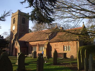
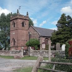
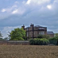
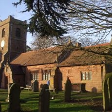
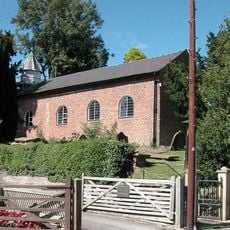
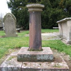
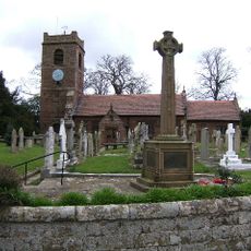
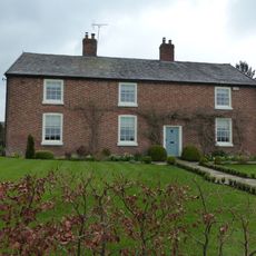
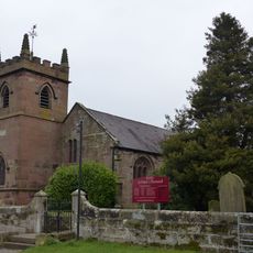
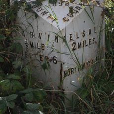
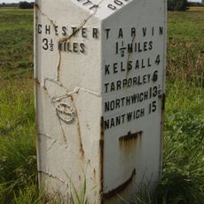
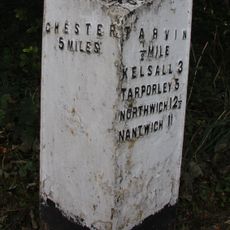
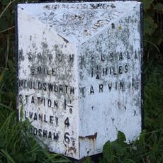
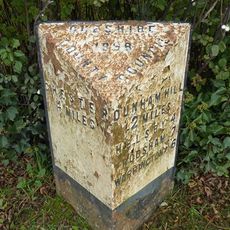
Barrow, civil parish in Cheshire, UK
Locatie: Cheshire West and Chester
Grenst aan: Dunham-on-the-Hill and Hapsford, Tarvin, Ashton Hayes and Horton-cum-Peel, Manley, Mouldsworth, Christleton, Guilden Sutton, Mickle Trafford and District
GPS-coördinaten: 53.21944,-2.78667
Laatste update: 5 maart 2025 om 19:57
St Peter's Church
2 km
Peel Hall
2.3 km
St Bartholomew's Church, Barrow
1.3 km
St John the Baptist's Church, Guilden Sutton
3 km
Trafford Mill
2.8 km
St. Plegmund's well
2.2 km
Vault, tombchest and memorial of the Hurleston family attached to east end of Church of St Peter
2 km
Sundial in the churchyard of St Peter
1.9 km
Number 86 and attached outbuilding
2.8 km
The White House
1.1 km
Town Farm Farmhouse
3 km
Laurel House
2.8 km
Roade House
2.8 km
Sundial in St. Bartholomew's Churchyard
1.3 km
Great Barrow War Memorial
1.3 km
Little Barrow Hall
909 m
76, High Street
2.8 km
West wall and gate of the churchyard of St Peter
2 km
Gates, overthrow and gate piers to the Churchyard of St Bartholomew
1.3 km
The Old Rectory
1.2 km
78 and 80, High Street
2.9 km
51, High Street
2.8 km
Tarvin Hall
2.8 km
Milepost, Tarvin Sands
2.7 km
Milepost, S of Stamford Bridge
2.3 km
Milepost, E of on roundabout jct of A54 & A51
2.8 km
Milepost, S of Ashton Village
2.8 km
Milepost, Trafford Mill
2.9 kmHeeft u deze plek bezocht? Tik op de sterren om een beoordeling te geven en uw ervaring of foto's te delen met de community! Probeer het nu! U kunt het op elk moment annuleren.
Ontdek verborgen schatten op elk avontuur!
Van karakteristieke kleine cafeetjes tot geheime uitzichtpunten – ontvlucht de drukte en vind plekken die echt bij jou passen. Onze app maakt het makkelijk: spraakzoekopdrachten, slimme filters, geoptimaliseerde routes en authentieke tips van reizigers wereldwijd. Download nu en beleef het avontuur op je smartphone!
Een nieuwe benadering van toeristische ontdekking❞
— Le Figaro
Alle plekken die de moeite waard zijn om te ontdekken❞
— France Info
Een uitstapje op maat in slechts een paar klikken❞
— 20 Minutes