
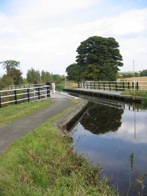
Bonnington Aqueduct, brug in City of Edinburgh, Verenigd Koninkrijk
Locatie: City of Edinburgh
GPS-coördinaten: 55.92440,-3.41440
Laatste update: 14 maart 2025 om 17:25

Dalmahoy
3.6 km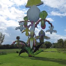
Jupiter Artland
2 km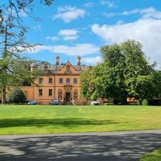
Bonnington House
2 km
Hatton House
2.6 km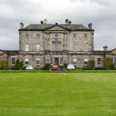
Newliston
2.6 km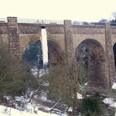
Almond Aqueduct
1.3 km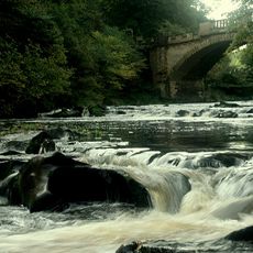
Almondell and Calderwood Country Park
3.9 km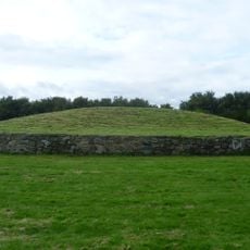
Newbridge chariot
1.5 km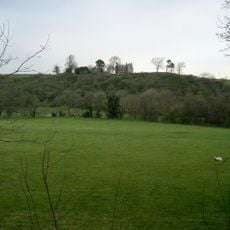
Illieston Castle
1.9 km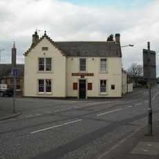
Newbridge Inn
1.7 km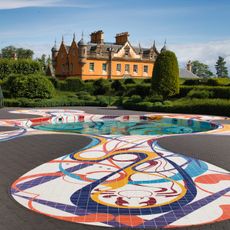
Jupiter Artland
2.6 km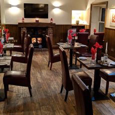
Conifox
3.3 km
Huly Hill, cairn & stone circle SW of Newbridge roundabout
1.7 km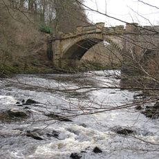
Almondell Bridge
3.6 km
Almond Valley Viaduct
1.2 km
Almondell Aqueduct
4 km
Broxburn Viaduct
1.9 km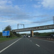
Birdsmill railway bridge
1 km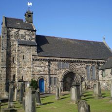
Kirkliston, The Square, Kirkliston Parish Church
3.4 km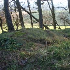
Tormain Hill,cup & ring marked rocks 700m NE of Bonnington Mains
1.8 km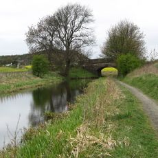
Bridge No. 30, Niddry, Union Canal
3.8 km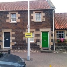
54 Main Street, Ratho
2.2 km
Lochend Farm, standing stone 100m WNW of
1.8 km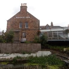
Bridge Inn, 27 Baird Road, Ratho, Union Canal
2.2 km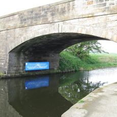
Depot And Bridge No. 23, Drumshoreland, Union Canal
3.3 km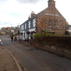
Union Canal, Ratho, Baird Road, Bridge No. 15
2.2 km
Easter Norton,standing stone 280m WSW of
3.9 km
Ratho, Baird Road, Ratho Parish Church And Lady's Well
2.1 kmHeeft u deze plek bezocht? Tik op de sterren om een beoordeling te geven en uw ervaring of foto's te delen met de community! Probeer het nu! U kunt het op elk moment annuleren.
Ontdek verborgen schatten op elk avontuur!
Van karakteristieke kleine cafeetjes tot geheime uitzichtpunten – ontvlucht de drukte en vind plekken die echt bij jou passen. Onze app maakt het makkelijk: spraakzoekopdrachten, slimme filters, geoptimaliseerde routes en authentieke tips van reizigers wereldwijd. Download nu en beleef het avontuur op je smartphone!

Een nieuwe benadering van toeristische ontdekking❞
— Le Figaro
Alle plekken die de moeite waard zijn om te ontdekken❞
— France Info
Een uitstapje op maat in slechts een paar klikken❞
— 20 Minutes