
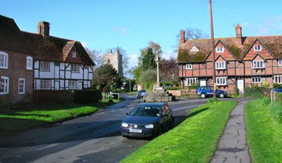
East Hagbourne, village and civil parish in South Oxfordshire, England
Locatie: South Oxfordshire
GPS-coördinaten: 51.59119,-1.23316
Laatste update: 31 maart 2025 om 00:49
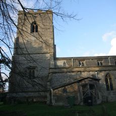
Church of St Andrew
680 m
Cineworld Cinema Didcot
1.9 km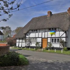
York Farm Cottage
2 km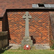
Northbourne War Memorial
1.6 km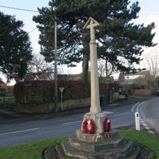
War Memorial Cross
211 m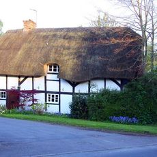
Thatch Cottage
1.9 km
Cottage approximately 35 metres south west of Blissets
2.1 km
Green Shutters
329 m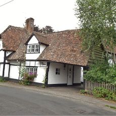
The Gables
366 m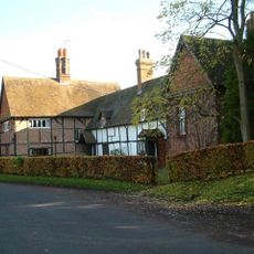
Kings Holme
359 m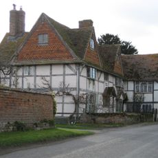
Coscote Manor And Yew Tree Famhouse And Attached Wall
1.6 km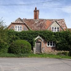
Ivy Farmhouse
2 km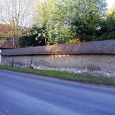
Cob wall attached to south of Wycherts
2 km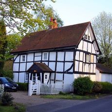
Wycherts
2 km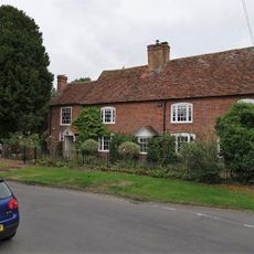
19, Main Road
571 m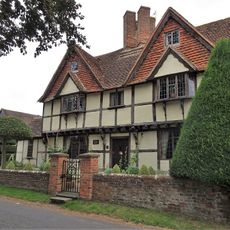
Tudor House and attached wing and barn
585 m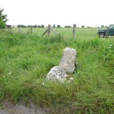
Coscote village cross
1.7 km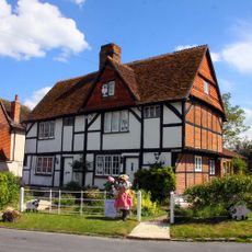
Number 21 And 23 (Upper Cross)
588 m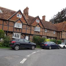
29 and 31, Main Road
610 m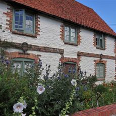
10, The Croft
562 m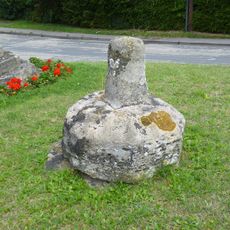
Lower Cross
207 m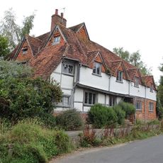
Buckels
247 m
34 and 36, Main Road
552 m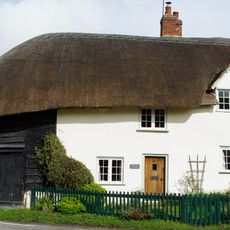
48, Main Road
623 m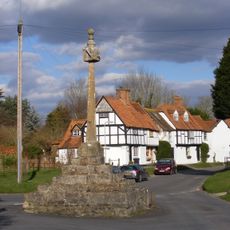
East Hagbourne village cross
595 m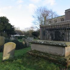
Chest Tomb To Phillips Family And Railings Approximately 10 Metres North Of Church Of St Andrew
683 m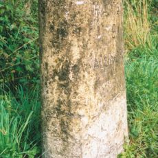
Milestone At 5385 9000
1.8 km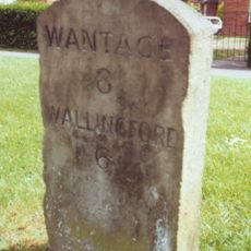
Milestone, Broadway, opp. Fire Station
1.9 kmHeeft u deze plek bezocht? Tik op de sterren om een beoordeling te geven en uw ervaring of foto's te delen met de community! Probeer het nu! U kunt het op elk moment annuleren.
Ontdek verborgen schatten op elk avontuur!
Van karakteristieke kleine cafeetjes tot geheime uitzichtpunten – ontvlucht de drukte en vind plekken die echt bij jou passen. Onze app maakt het makkelijk: spraakzoekopdrachten, slimme filters, geoptimaliseerde routes en authentieke tips van reizigers wereldwijd. Download nu en beleef het avontuur op je smartphone!

Een nieuwe benadering van toeristische ontdekking❞
— Le Figaro
Alle plekken die de moeite waard zijn om te ontdekken❞
— France Info
Een uitstapje op maat in slechts een paar klikken❞
— 20 Minutes